Rifugio Auronzo - Torre di Toblin / Toblinger Knoten
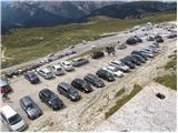
Starting point: Rifugio Auronzo (2320 m)
| Lat/Lon: | 46,6122°N 12,2941°E |
| |
Time of walking: 2 h 10 min
Difficulty: extremely difficult marked way
Ferata: C
Altitude difference: 297 m
Altitude difference po putu: 297 m
Map: Tabacco 10 1:25.000
Recommended equipment (summer): helmet, self belay set
Recommended equipment (winter): helmet, self belay set, ice axe, crampons
Views: 9.484
 | 3 people like this post |
Access to the starting point:
Access from Gorenjska: Take the Border crossing Rateče road to Trbiž / Tarvisio, where you take the motorway towards Udine. Leave the motorway at the exit for Tolmezzo and follow the road to the above-mentioned place. From Tolmezzo, continue in the direction of Ampezzo and the Passo della Mauria mountain pass. The road then begins to descend and leads into the Cadore valley, where you continue to the right (Belluno and Cortina d'Ampezzo on the left) in the direction of Auronzo. After a few more km of driving, we reach the next major junction, where we turn right towards Austria and Tre Cine / Tre Cime (left Cortina d'Ampezzo). We leave the road towards Austria after a few more 100m, as the signs for Tre Cine / Tre Cime direct us right onto a toll mountain road, which after 7km leads us to a large parking lot near the rifugio Auronzo hut.
From the Primorska side: Take the motorway which leads via Border crossing Sežana to Trieste. Continue on the Italian motorway towards Padua, but only as far as the motorway junction where you continue towards Veneto and Belluno. Near Belluno the motorway ends and we continue towards Cortina d'Ampezzo and Auronzo. As the road enters the Cadore valley, we come to a large junction where the road towards Cortina d'Ampezzo goes left and the road towards Auronzo goes right. Here we continue to the right towards Auronzo. Continue as described above.
Path description:
At the Auronzo hut, take the macadam road leading slightly east towards the Lavaredo hut. After about 20 minutes of walking along a very scenic road that leads under the mighty walls of the Three Cinquefoils, you will reach the Lavaredo hut.
From the hut, continue slightly to the left and start climbing up the scree towards the notch (Forcella Lavaredo) between Monte Paterno and the Three Cinas. At the notch where the trail crossroads are, take the wide trail which starts to descend slightly northwards from the notch. To the right, there is a path leading to Monte Paterno from the south side and path 104, which starts descending to the east. The descent to the Locatelli hut can be either via the lower wide path or the slightly more difficult upper path, which crosses the slopes below the western face of Monte Paterno. At the hut from where you have a very nice view of the Monte Paterno and the Tri Cine, the two paths merge again.
From the hut, continue northwards past the chapel, at which you will see a signpost pointing you towards the Via Ferrata Torre di Toblin climbing route. The trail then follows the right-hand side of the Sasso di Sesto mountain to the north and is marked with red triangles. Later, the trail turns left and there is a short climb up to the saddle between the Sasso di Sesto and Torre di Toblin peaks. At the saddle, continue slightly to the right and cross the slopes below the western face of Torre di Toblin. The path then leads to the north side, where you enter the climbing part of the route.
At the start, the path climbs steeply upwards along the right-hand steel cable. The path continues along a steep gully and climbs vertically up a ladder several times. As the path is usually quite crowded, the risk of falling rocks is also high. Later, the path turns slightly to the left and crosses a vertical slope on scree steps. There are a few more vertical climbs on the ladder, and then you soon reach a very scenic summit.
Descend by a slightly easier but still very challenging route, initially briefly following the southern ridge before descending to the eastern side. Then it's a steep descent down along a small glacier, and you'll see a couple of World War I tunnels along the way. The steep path then leads to the scree on the eastern side of the mountain, from where you continue south to the right and descend to the Locatelli hut. As the route is usually very crowded, do not climb in the opposite direction to the one described above. For this reason, the descending path at the bottom is not marked.

Pictures:
 1
1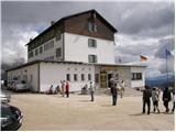 2
2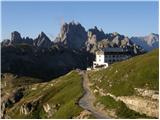 3
3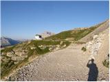 4
4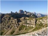 5
5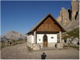 6
6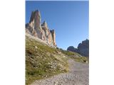 7
7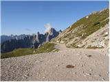 8
8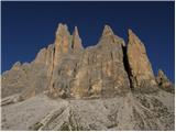 9
9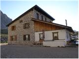 10
10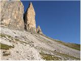 11
11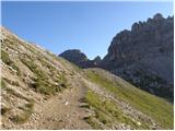 12
12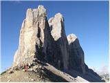 13
13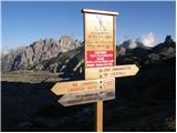 14
14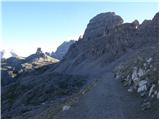 15
15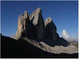 16
16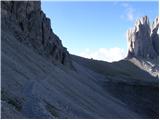 17
17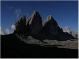 18
18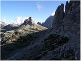 19
19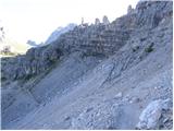 20
20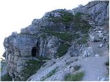 21
21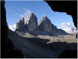 22
22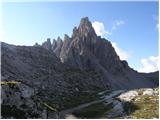 23
23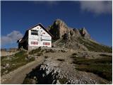 24
24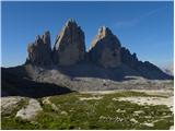 25
25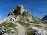 26
26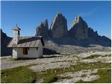 27
27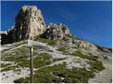 28
28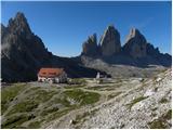 29
29 30
30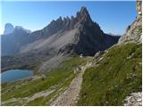 31
31 32
32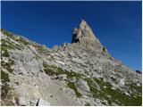 33
33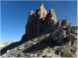 34
34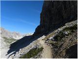 35
35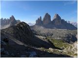 36
36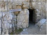 37
37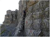 38
38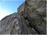 39
39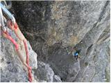 40
40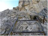 41
41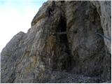 42
42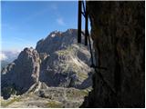 43
43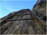 44
44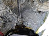 45
45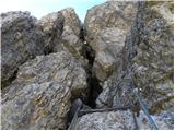 46
46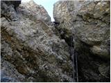 47
47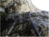 48
48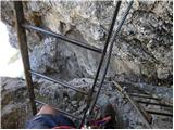 49
49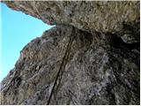 50
50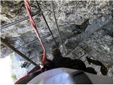 51
51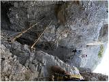 52
52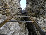 53
53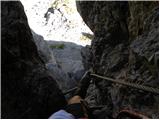 54
54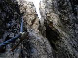 55
55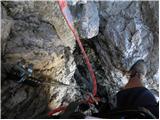 56
56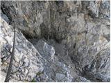 57
57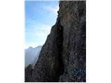 58
58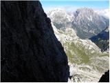 59
59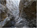 60
60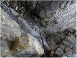 61
61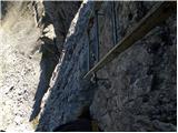 62
62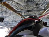 63
63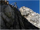 64
64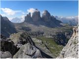 65
65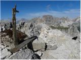 66
66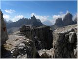 67
67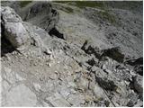 68
68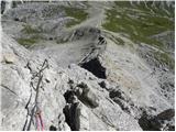 69
69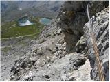 70
70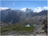 71
71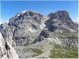 72
72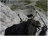 73
73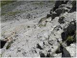 74
74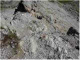 75
75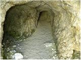 76
76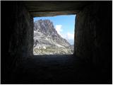 77
77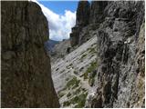 78
78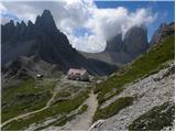 79
79
Discussion about the trail Rifugio Auronzo - Torre di Toblin / Toblinger Knoten
|
| Hribolaznik10. 08. 2014 |
Včeraj (09.08.2014) na Torre di Toblin. Sama ferata nama je vzela 1 uro (z obveznim fotkanjem seveda). Zelo tehnična ferata z veliko lojtrami. Vmes je nekaj odsekov z nerodnimi prijemi in odsek, kjer je potrebno narediti dokaj velik razkorak med stenama in se ob tem povleči na levo steno. Zajla za samo varovanje povsod prisotna. Sestop po drugi poti lažji in hitrejši. Zelo lepi razgledi na okoliške gore, je pa res, da tale "umetna" ferata kvari idilo samega parka, kar je na splošno problem vseh takih "na silo" speljanih gorskih poti. Priporočam da dobro pregledate vremensko napoved, si na samo ferato vzamete le kak manjši nahrbtnik in se na koncu podate še na bližnji Monte Paterno. Oboje skupaj ni preveč utrudljivo in možno v enem dnevu. LP 
|
|
|