Rifugio Dibona - Tofana di Mezzo (Via Ferrata Gianni Aglio)
Starting point: Rifugio Dibona (2083 m)
| Lat/Lon: | 46,5326°N 12,0703°E |
| |
Name of path: Via Ferrata Gianni Aglio
Time of walking: 6 h 30 min
Difficulty: extremely difficult marked way
Ferata: D
Altitude difference: 1161 m
Altitude difference po putu: 1300 m
Map: Tabacco 03 1:25.000
Recommended equipment (summer): helmet, self belay set
Recommended equipment (winter): helmet, self belay set, ice axe, crampons
Views: 13.415
 | 2 people like this post |
Access to the starting point:
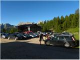
First, drive to Cortina d'Ampezzo (you can get here via Border crossing Rateče or Predel to Trbiž / Tarvisio and then take the motorway towards Udine to the Tolmezzo exit. From Tolmezzo, follow the road towards Ampezzo and the Passo della Mauria mountain pass. The road then descends and leads to a crossroads where you turn left (possibly right) towards Cortina d'Ampezzo. At all subsequent junctions, follow the signs for Cortina d'Ampezzo. Or from the Primorska side, take the motorway towards Trieste. Continue on the Italian motorway towards Padua, but only as far as the motorway junction where you continue towards Veneto and Belluno. Near Belluno, the motorway ends and we continue towards Cortina d'Ampezzo at the next junctions and then follow the signs for the Passo di Falzarego Alpine pass. Follow this ascending road to where a road forks off to the right in the direction of the rifugio Dibona hut (the fork is at about 1700m). The initially tarmac road leads us higher up to a crossroads where we continue along the lower road on the left (Duca d'Aosta hut on the right) and follow it to the parking lot behind the Dibona hut.
Path description:
From the parking lot, continue along the dirt road past the gate. Follow this road to a marked junction, where you turn right onto a wide mulatier marked "Rif. Camillo Giussani". The wide path then climbs slowly and, at a left-hand bend, leads to a marked crossroads.
The path continues upwards towards the Camillo Giussani hut, and we turn right towards the Pomedes hut. The path initially crosses the scree under the steep cliffs to the east and quickly leads to the start of the protected Via ferrata Astaldi. The sheltered path crosses the south face of Punta Anna on ledges. The trail is well protected by a cable car and is not too technically demanding. The sheltered path soon ends and an easier path (421) joins from the Dibona hut on the right. The ascent follows the dwarf pines and the scenic route soon leads to the Pomedes hut.
From the hut, continue left following the signs "Via Ferrata Punta Anna". The path leads past the top station of the cable car and then climbs up the scree to enter the climbing section of the route.
The climbing route crosses the wall slightly to the left in the first part of the ascent and climbs steeply a few times. The route then becomes slightly more difficult and climbs almost vertically towards the ridge. The ascent follows a very exposed and very scenic ridge. The difficulty continues unabated and the route continues to follow the ridge for the most part, with only a few places where the ridge retreats to the left west side. Later, the ridge only becomes slightly less steep and there follows a slightly less difficult but unprotected climb to the summit of Punta Anna.
From the summit, continue along the ridge and soon the path from the Camillo Giussani hut joins from the left. From the crossroads, walk along the ridge for a short distance, then the path turns right and climbs steeply across a steep gully. The path then leads to the eastern, less steep slopes, where it soon reaches a crossroads. To the right, the Giuseppe Olivieri trail leads back down towards the Pomedes hut and the Ra Valles hut, where there is an intermediate gondola stop.
We continue left on the Ferrata Gianni Aglio, where we are directed by the sign "cima". A less demanding climb up to the ridge follows. On the ridge, continue right and the path becomes slightly more difficult again. There are a few vertical climbs and a few crampons and ladders to help you. The path then follows the ridge to the left and leads to a notch below the Torre Aglio tower. From the notch there is a challenging vertical climb and then a short exposed traverse on wedges, which leads to a crossroads. At the crossroads, continue straight on past the Tofana markers, and steeply uphill to the left is the path to Torre Aglio, which is only a few minutes' steep climb along a glacier.
The trail then leads to the extremely exposed traverse of the wall of the Torre Aglio tower, aided by a rope and a couple of wedges to cross the vertical wall. After crossing, you reach the north side of the tower and descend quite steeply along the rope. After descending, we reach a crossroads where a path branches off to the right downhill towards the Bus de Tofana window (the window is only a few minutes away). At the crossroads, we continue slightly to the left and cross the scree. The path then climbs again a little more steeply and leads us past avalanche barriers. The path is a little less well protected in this part. There are again some steep climbs along the steel cable on the more difficult parts, and a ladder is also helpful. This path then leads us to a ridge along which we soon reach the top.
The route described is extremely difficult and is suitable only for experienced mountaineers with sufficient strength in their arms and plenty of fitness. The route is very long, so it is advisable to use the gondola to descend.

Pictures:
 1
1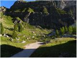 2
2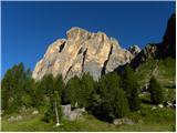 3
3 4
4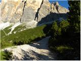 5
5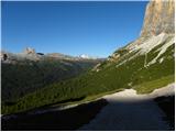 6
6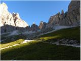 7
7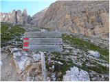 8
8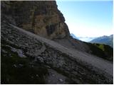 9
9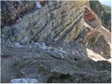 10
10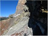 11
11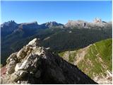 12
12 13
13 14
14 15
15 16
16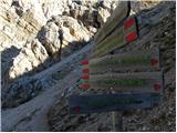 17
17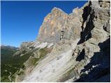 18
18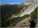 19
19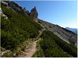 20
20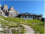 21
21 22
22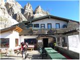 23
23 24
24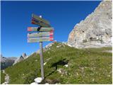 25
25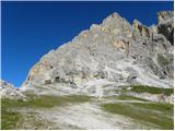 26
26 27
27 28
28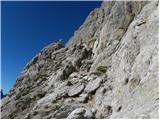 29
29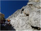 30
30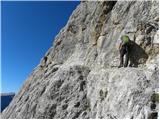 31
31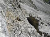 32
32 33
33 34
34 35
35 36
36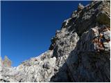 37
37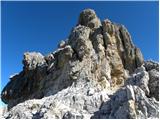 38
38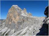 39
39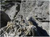 40
40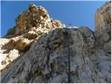 41
41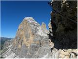 42
42 43
43 44
44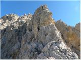 45
45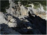 46
46 47
47 48
48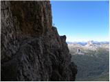 49
49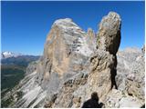 50
50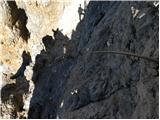 51
51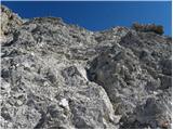 52
52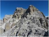 53
53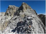 54
54 55
55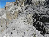 56
56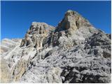 57
57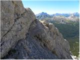 58
58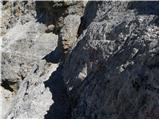 59
59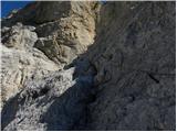 60
60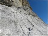 61
61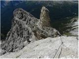 62
62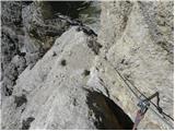 63
63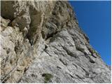 64
64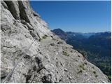 65
65 66
66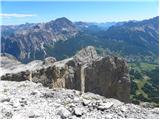 67
67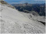 68
68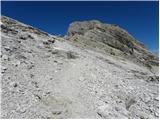 69
69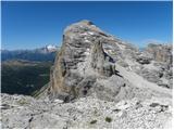 70
70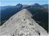 71
71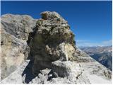 72
72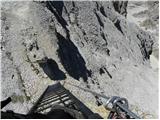 73
73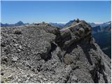 74
74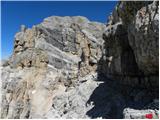 75
75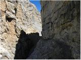 76
76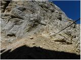 77
77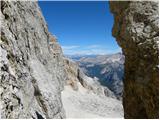 78
78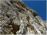 79
79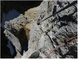 80
80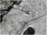 81
81 82
82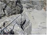 83
83 84
84 85
85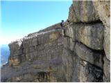 86
86 87
87 88
88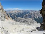 89
89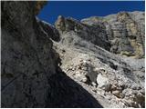 90
90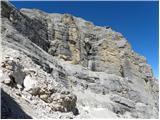 91
91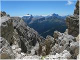 92
92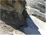 93
93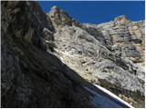 94
94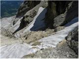 95
95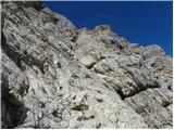 96
96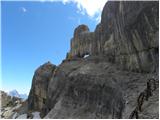 97
97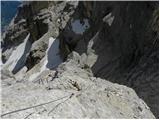 98
98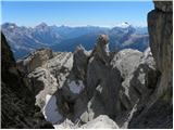 99
99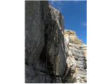 100
100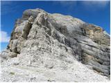 101
101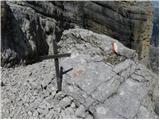 102
102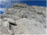 103
103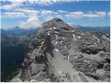 104
104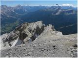 105
105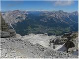 106
106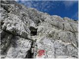 107
107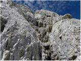 108
108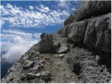 109
109 110
110 111
111 112
112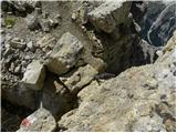 113
113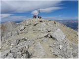 114
114 115
115 116
116 117
117
Discussion about the trail Rifugio Dibona - Tofana di Mezzo (Via Ferrata Gianni Aglio)
|
| jedriličar31. 08. 2011 |
Prije 2 tjedna sam napravio tu feratu, krenuli smo u 8 iz koče Dibona i na vrhu bili u 3, znači trebalo nam je 7 sati. Istina, bila je nedelja pa je bila gužva i trebalo je čekati u redu, ali svejedno, prvi dio ferate je izuzetno naporan (do vrha Punta Ane) jer je konstantno okomit uspon, nema hodanja, samo penjanje, sve dok se ne izađe na greben Punta Ane. Slijedeći dio do vrha Tof. di Mezzo je manje zahtjevan, ima više hodanja ali ima jedna tehnički zahtjevna i prozračna priječnica na samom kraju ferate. Nakon toga slijedi još okko 300m visinski uspona bez ferate do vrha. Za silaz preporučam žičaru do rif. Ra Valles, a od tamo po stazi Olivieri do rif. Pomedes i na kraju isti put za dole do rif. Dibona. To je cca dodatna 3 sata hoda. Uglavno, prava dolomitska ferata za preporučit, ali kako je napisao autor, samo za ljude sa kondicijom, iskustvom i ne vrtoglave.
|
|
|
|
| zihr korak12. 08. 2013 |
Včeraj naredo to pot je zahtevna ja iz obeh pogledov plezalna in kondicijsko. Za sestop pa je možno tut po enem meliščo ki se nahaja blizo pregrad za snežne plazove tam se spustiš skozi naravno okno in prispeš na cesto nekoliko nižje od koče Dibona tako da ni potrebno it na gondolo 
|
|
|
|
| mirank31. 07. 2016 |
Dostop na ferati je enostavnejši in v bistvu ga avtor zg opisa tudi omenja kot lažja pot (sl 17). Ta dostop je bistveno krajši in vam ne bo vzel več kot 45min, začne pa se direkt v vzhodni smeri s parkinga pri koči Dibona. Prepričan sem, da je zjutraj cilj vsakogar čimprej priti do začetka ferate, da se prehiti večino, ki dostopa s sedežnico do koče Pomedes. Zihr korak pa v gornjem zapisu narobe opisuje spust od okna Bus de Tofana, saj se ta zaključi niže od koče Giussani in VIŠJE od koče Dibona.
|
|
|
|
| zihr korak27. 07. 2017 |
Ja jes sm štarto od koče Dibona zato sm pa tut napiso da se je bolš tam spustit dol po meliščo če imaš tam avto parkiran!!!
|
|
|
|
| pohodnik3336. 09. 2023 20:58:04 |
Najzahtevnejši del po mojem mnenju, oziroma dva dela sta pri Torre Aglio.
Sicer je pa več bolj zahtevnih delov(je dolga, maratonska) ter je potrebna moč in vzdržjivost. Pred vrhom je nekaj poplezavanja brez železja.
|
|
|