Rifugio Gilberti - Vrh Grubje
Starting point: Rifugio Gilberti (1850 m)
| Lat/Lon: | 46,3874°N 13,4734°E |
| |
Time of walking: 2 h 30 min
Difficulty: easy pathless terrain
Altitude difference: 390 m
Altitude difference po putu: 550 m
Map: Julijske Alpe - zahodni del 1:50.000
Recommended equipment (summer):
Recommended equipment (winter): ice axe, crampons
Views: 6.936
 | 1 person likes this post |
Access to the starting point:
From Kranjska Gora, drive through the Rateče border crossing to Trbiž / Tarvisio. In Trbiz, turn left towards Bovec and follow the road to the crossroads near Lake Rabelj. Here, turn right towards the Nevea Pass / Sella Nevea. Follow this road, which is mostly uphill, to a large parking lot at the bottom station of the cable car leading to the Gilberti hut.
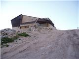
Then buy a ticket and take the cable car to the top station. From the top cable car station to the Gilberti hut, it is a 5-minute walk along the transport-rescue road.
From Bovec, drive to the Predel border crossing, from which you descend to the Italian side. Just after Lake Rabelj, you will come to a crossroads where you turn left towards Neveje Pass / Sella Nevea. Continue as described above.
Path description:
From the hut, descend gently (westwards) into a small valley, where there is a crossroads. Continue to the right in the direction of S. Grubia along the path that runs between the main canyon ridge on the left and the Belo Peć on the right. The way forward initially climbs gently up the valley, then begins to climb steeply and after a few minutes of climbing leads us to an old military fortress on the Bela Peć saddle. After the fortress, continue slightly left in the direction of "bivacco" (right Bela peč 30 minutes very difficult path) on the old military mulatier, which is already well destroyed. The path, which descends slightly and then climbs again, runs along sometimes steep slopes, which are sometimes slightly precipitous and exposed to falling stones (because the path is wide in the land it does not cause any problems). The path then leads to a crossroads, where the path to Visoki Kanin branches off to the left upwards. Continue on the mulatier, which then crosses some ravines that are covered with snow long into the summer. After a 2-hour walk from the Gilberti hut, the beautiful and scenic high-mountain route leads to the Marrusich bivouac.
Just a few steps from the bivouac, we reach the Peravo Pass, where the crossroads of the route are. Continue straight ahead towards M. Sart on the path, which begins to climb westwards. Soon you will see the military fortifications (defensive wall) in front of you and leave the marked path. The ascent continues on a pathless track, but as you stick to the ridge there are no problems with orientation. After a good 20 minutes of pathless ascent, you will reach a grassy summit.

Pictures:
 1
1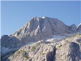 2
2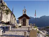 3
3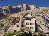 4
4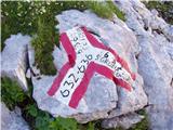 5
5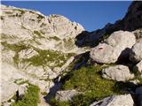 6
6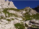 7
7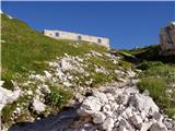 8
8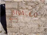 9
9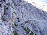 10
10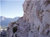 11
11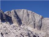 12
12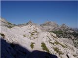 13
13 14
14 15
15 16
16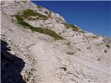 17
17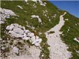 18
18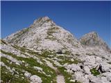 19
19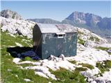 20
20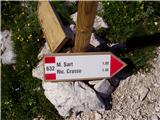 21
21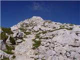 22
22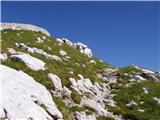 23
23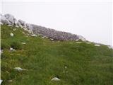 24
24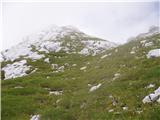 25
25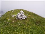 26
26
Discussion about the trail Rifugio Gilberti - Vrh Grubje