Rifugio Pederü - Rifugio Fodara Vedla
Starting point: Rifugio Pederü (1548 m)
| Lat/Lon: | 46,63867°N 12,0414°E |
| |
Time of walking: 1 h
Difficulty: easy marked way
Altitude difference: 432 m
Altitude difference po putu: 440 m
Map: Tabacco 03 1:25.000
Recommended equipment (summer):
Recommended equipment (winter):
Views: 1.515
 | 2 people like this post |
Access to the starting point:
a) From Kranjska Gora via the Koren saddle to Austria, where at the first major junction continue left towards Podkloštro / Arnoldstein and Trbiz / Tarvisio. At the end of Podklošter, signs for Šmohor / Hermagor direct you to the right on the regional road, which takes you past the town to the end of the Ziljska valley, or more precisely to Kötschach-Mauthen, where you turn right towards Oberdrauburg. The road continues over the Gailbergsattel Alpine pass (982 m), after which you descend into the above-mentioned town. After crossing a bridge over the River Drava, turn left towards Lienz. At the main roundabout in Lienz, turn left towards Sillian and Itali. Next we cross the national border between Austria and Itali, and we follow the main road past Dobbiaco / Toblach, Villabassa / Niederdorf, Monguelfo - Tesido / Welsberg - Taisten, Brunico / Bruneck. Just after the last mentioned town, which is passed by a bypass road, we turn left into the Val Badia valley. Continue along the valley and turn left at Longega towards San Vigilio. In San Vigilio, turn left at the crossroads after the "Pederü" signs. After about 200 metres, turn right, also after the 'Pederü' signs. Follow this road until you reach the large parking lot in front of the Rifugio Pederü.
b) From Nova Gorica, exit into Itali and follow the motorway to Venice/Venezia. At Portogruaro, leave the motorway towards Venice and turn right on the motorway towards Pordenone. At the next motorway junction near Conegliano, turn right towards Belluno. The motorway ends near Belluno and we continue towards Cortina d'Ampezzo at the next junctions. When you arrive in Cortina d'Ampezzo, follow the signs for the Passo Falzarego Alpine pass. At the Passo Falzarego (2105 m), turn right towards the Valparola Pass and continue towards Alta Badia. At La Villa turn right towards Brunico. Follow the road to Longega and turn right towards San Vigilio. In San Vigilio, turn left at the crossroads after the "Pederü" signs. After about 200 metres, turn right, also after the "Pederü" signs. Follow this road until you reach the large parking lot in front of the Rifugio Pederü.
Path description:
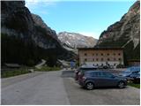
From the Rifugio Pederü, turn left onto the dirt road, where you will be directed by signs for the hut. The road, which is closed to traffic, starts to climb very steeply in the keys and beautiful views of the surrounding peaks begin to open up. The road becomes a shade less steep and passes mainly through the forest. After a good half an hour's walk from the starting point, the road leads to a marked crossroads.
To the left, the path leads to Sennes hut, while we continue along the road towards Fodara hut. At the crossroads, you can also continue on the footpath that runs parallel to the road. The road continues to climb gently, then turns left and there is a short descent towards the cottage.
Pictures:
 1
1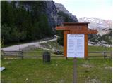 2
2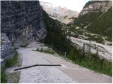 3
3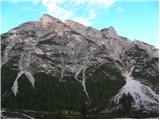 4
4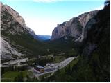 5
5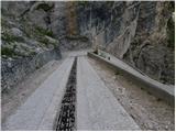 6
6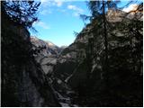 7
7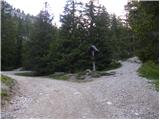 8
8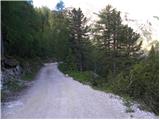 9
9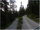 10
10 11
11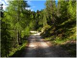 12
12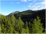 13
13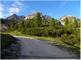 14
14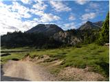 15
15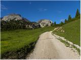 16
16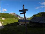 17
17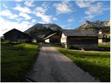 18
18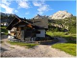 19
19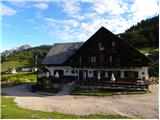 20
20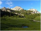 21
21
Discussion about the trail Rifugio Pederü - Rifugio Fodara Vedla