Rifugio Ra Stua - Piccola Croda Rossa / Kleine Gaisl
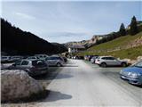
Starting point: Rifugio Ra Stua (1680 m)
| Lat/Lon: | 46,62501°N 12,09918°E |
| |
Time of walking: 4 h
Difficulty: easy pathless terrain
Altitude difference: 1179 m
Altitude difference po putu: 1230 m
Map: Tabacco 03 1:25.000
Recommended equipment (summer): helmet
Recommended equipment (winter): helmet, ice axe, crampons
Views: 2.066
 | 3 people like this post |
Access to the starting point:
Via Border crossing Rateče, take the road to Trbiž / Tarvisio, where you take the motorway towards Udine. Leave the motorway at the exit for Tolmezzo and follow the road to the above-mentioned place. From Tolmezzo, continue in the direction of Ampezzo and the Passo della Mauria mountain pass. The road then begins to descend and leads into the Cadore valley, where you continue to the right (Belluno and Cortina d'Ampezzo on the left) in the direction of Auronzo. After a few more km of driving, you reach the next major crossroads, where you turn right towards Misurina (left Tre Croci Pass). From here, follow the road down to a major crossroads, where you turn left towards Cortina d'Ampezzo (right Austria). From this crossroads, you continue for about 10 km towards Cortina d'Ampezzo, and then, at a sharp left turn, you turn right onto the road towards the Rifugio Ra Stua hut. Follow the narrow asphalted road until you reach the large parking lot at the hut.
Path description:
From the Rifugio Ra Stua hut, continue along the macadam road, which is closed to traffic. Right at the start, a footpath branches off to the right towards the Forcella Lerosa and the Gotres Valley. A little later, a path branches off to the right towards the Valbones valley and the Helbig Dall'Oglio bivouac.
We continue along the gravel road, which continues for a while along the pastureland, and then leads into the woods. We continue through the woods along the Boite stream for a while, and then we come back to the grassy slopes where there is a crossroads.
A road branches off to the left towards the Rifugio Fodara Vedla hut, and we continue straight ahead on a dirt road towards the Rifugio Sennes hut. After a few dozen metres we reach another crossroads.
This time we turn right on the footpath towards Lago di Foses and hut Rifugio Biella, and continue along the road towards Rifugio Sennes. From the crossroads, the path first leads over grassy slopes where a footpath from the Ra Stua hut joins from the right. The path then leads into the dwarf pines through which we start to climb steeply. Through dwarf pines we start to gain altitude quite quickly and soon we start to get views towards the Tofana mountain group and Monte Pelmo. Later, the path turns slightly to the left and leads to slightly flatter slopes. With dwarf pines, the path leads to more grassy terrain where a slightly less well-trodden path joins from the right, passing under the slopes of the summit of Monte Geralbes. The increasingly scenic path here runs north-westwards and leads past the small lake Lago di Remeda Rossa. The trail then descends a little and the view opens up towards the summit of Croda del Beco (Seekofel). The trail then leads past lake Lago Piccolo and leads to the larger lake Lago di Fosses.
At the crossroads, continue to the right, following the signs for "Rifugio Biella". The path first takes you along the left side of the lake and then begins to climb slightly again. When the path turns left, you reach a slightly less visible crossroads.
At the crossroads, leave the marked path and turn right onto the unmarked path towards the Forcella Cocodain notch. Here the trail starts to climb a little steeper and runs slightly to the right to the east. As you approach Forcella Cocodain, leave the trail towards the notch and head right onto the trackless road below the slopes of Remeda Rossa (Rote Wand). On the right you will see a slightly less steep slope to which you should head. There is also a visible track marked with a number of cairns. The path runs southwards here and later leads to a ridge where you can see the summit of Piccola Croda Rossa. Continue left and climb the gentler slopes on the right side of the ridge. At this point the path becomes broken, but orientation is not too difficult as the numerous cairns are helpful. There is a short climb along a wide ridge and soon we reach the top of Remeda Rossa.
From the summit, we continue along the ridge and first descend gently to the saddle between Remeda Rossa and Piccola Croda Rossa. From the saddle, we then start climbing up the western slopes of Piccola Croda Rossa. The rocky slope on which we are climbing is relatively gentle and does not cause any problems, and the numerous cairns signs help us to find our way. We continue to climb up the west side of the summit, from where we have a very fine view over most of the Dolomites. When you see the cross at the top of the mountain, it is only a short climb on even flatter terrain to the summit. At the top, we also have a wonderful view of the neighbouring peak of Croda Rossa.

Pictures:
 1
1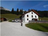 2
2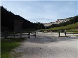 3
3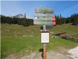 4
4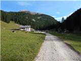 5
5 6
6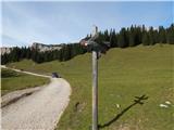 7
7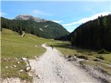 8
8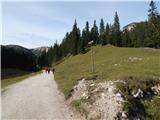 9
9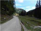 10
10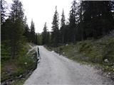 11
11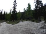 12
12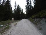 13
13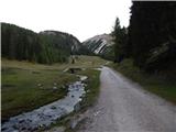 14
14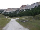 15
15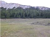 16
16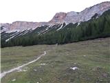 17
17 18
18 19
19 20
20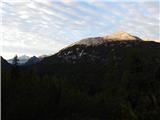 21
21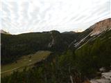 22
22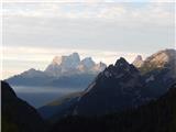 23
23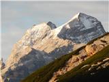 24
24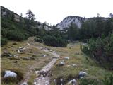 25
25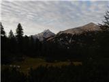 26
26 27
27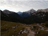 28
28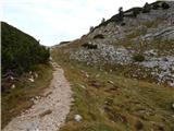 29
29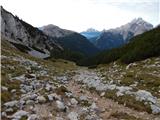 30
30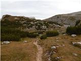 31
31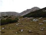 32
32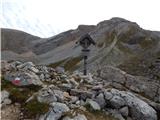 33
33 34
34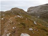 35
35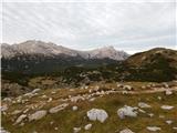 36
36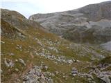 37
37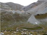 38
38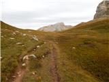 39
39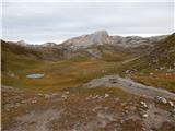 40
40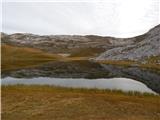 41
41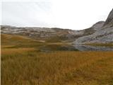 42
42 43
43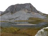 44
44 45
45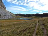 46
46 47
47 48
48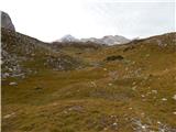 49
49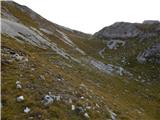 50
50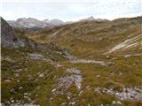 51
51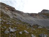 52
52 53
53 54
54 55
55 56
56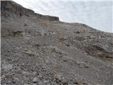 57
57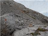 58
58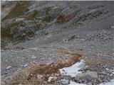 59
59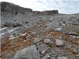 60
60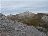 61
61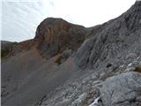 62
62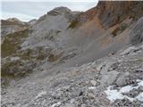 63
63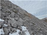 64
64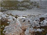 65
65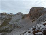 66
66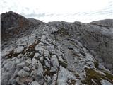 67
67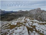 68
68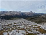 69
69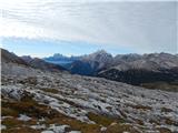 70
70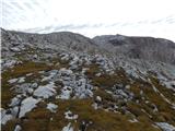 71
71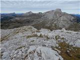 72
72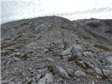 73
73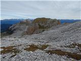 74
74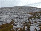 75
75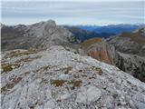 76
76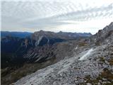 77
77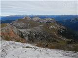 78
78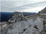 79
79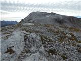 80
80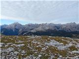 81
81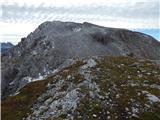 82
82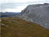 83
83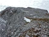 84
84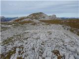 85
85 86
86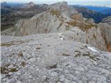 87
87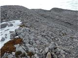 88
88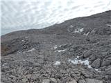 89
89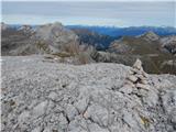 90
90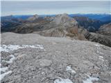 91
91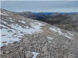 92
92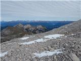 93
93 94
94 95
95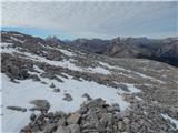 96
96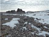 97
97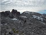 98
98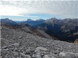 99
99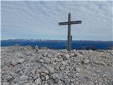 100
100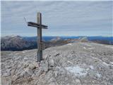 101
101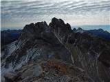 102
102
Discussion about the trail Rifugio Ra Stua - Piccola Croda Rossa / Kleine Gaisl