Rifugio Rio Gere - Sella di Punta Nera
Starting point: Rifugio Rio Gere (1698 m)
| Lat/Lon: | 46,55117°N 12,1903°E |
| |
Time of walking: 3 h 45 min
Difficulty: difficult marked way
Altitude difference: 1040 m
Altitude difference po putu: 1100 m
Map: Tabacco 03 1:25.000
Recommended equipment (summer): helmet
Recommended equipment (winter): helmet, ice axe, crampons
Views: 2.223
 | 2 people like this post |
Access to the starting point:
Via Border crossing Rateče or Predel to Trbiž / Tarvisio and then follow the motorway towards Udine to the Tolmezzo exit. From Tolmezzo, follow the road towards Ampezzo and the Passo della Mauria mountain pass. The road then descends and leads to a crossroads where you turn right towards Auronzo. Follow the signs for the Tre Croci Pass. From the pass, continue for about 1. 5 km towards Cortina d'Ampezzo, then park in the parking lot of the Rifugio Rio Gere hut, which is on the left-hand side of the road. The parking lot is large and is located next to the Faloria - Monte Cristallo ski slope.
Path description:
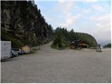
From the large parking lot at the Rifugio Rio Gere hut, head south on the dirt road past the "Faloria" signs. The road, which is closed to traffic, runs along the ski slope and soon after the initial climb crosses a barrier. Later, at a left turn, leave the road and continue to the right on the footpath. The gentle path then leads through the forest and later starts to climb in long switchbacks.
Higher up, we rejoin the road, which climbs steeply a few times and leads us to the bottom station of the cable car, which leads to hut Rifugio Tondi. We continue along the road that runs along the ski slope until we reach hut Rifugio Faloria, which offers a fine view, especially towards the Cristalo mountain group and Cortina d'Ampezzo.
At the hut, continue left after the Rifugio Tondi signs on the road that continues up the ski slope. The path then turns slightly to the right and leads to the vicinity of the transmitter where the path to the Fraina hut branches off to the right.
Further on, we also start to get a nice view towards the top of Punta Nera, followed by a short climb up to the Tondi hut, which can be seen from the path for quite some time.
From the hut we continue eastwards, first climbing slightly past the top of Monte Ciasadio, where the top station of the cable car is located. The path then descends gently down the left side of the ridge towards the Forcella Faloria notch. Here the path is a little exposed, but the descent does not cause any particular problems.
At the notch where the crossroads are, continue to the right, following the signs "Sella Punta Nera", and to the left the trail leads to Lago di Sorapiss.
From the crossroads, the path ascends over quite steep scree below the summit of La Selletta. As the path is a little less beaten and there are a few stones, some caution is needed in a few places. Once near the saddle between Punta Nera and Croda Rotta, the trail turns left and then climbs with the help of a couple of cable cars to the Sella Punta Nera saddle. At the saddle, you can continue left along an unmarked path for another 10 metres to the summit, which offers a very nice view of the surrounding peaks.

Pictures:
 1
1 2
2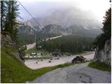 3
3 4
4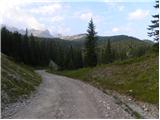 5
5 6
6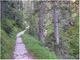 7
7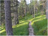 8
8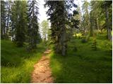 9
9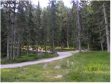 10
10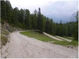 11
11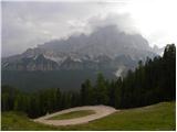 12
12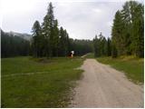 13
13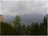 14
14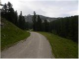 15
15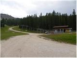 16
16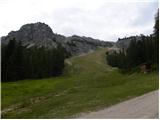 17
17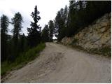 18
18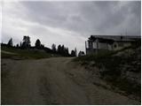 19
19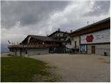 20
20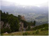 21
21 22
22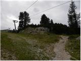 23
23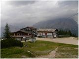 24
24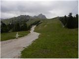 25
25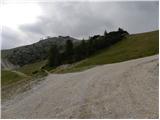 26
26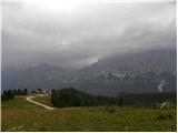 27
27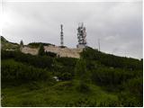 28
28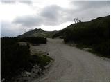 29
29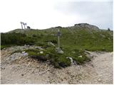 30
30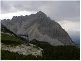 31
31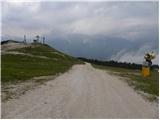 32
32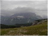 33
33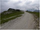 34
34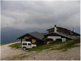 35
35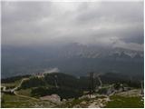 36
36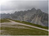 37
37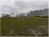 38
38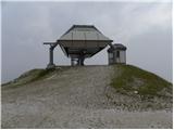 39
39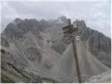 40
40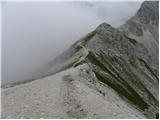 41
41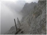 42
42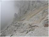 43
43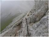 44
44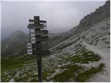 45
45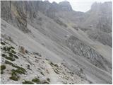 46
46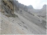 47
47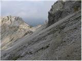 48
48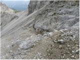 49
49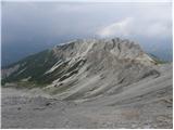 50
50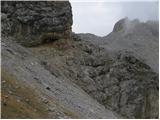 51
51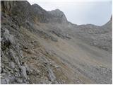 52
52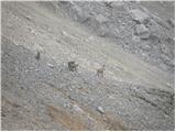 53
53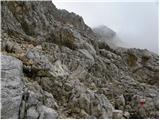 54
54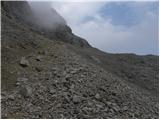 55
55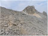 56
56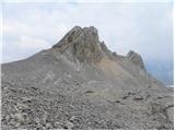 57
57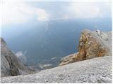 58
58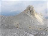 59
59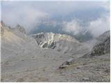 60
60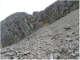 61
61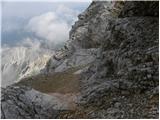 62
62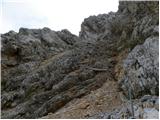 63
63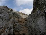 64
64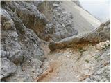 65
65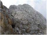 66
66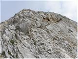 67
67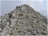 68
68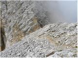 69
69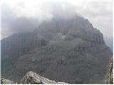 70
70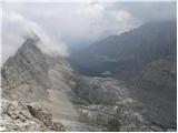 71
71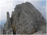 72
72
Discussion about the trail Rifugio Rio Gere - Sella di Punta Nera