Rifugio Selvapiana I.Lunelli - Rifugio Berti al Popera
Starting point: Rifugio Selvapiana I.Lunelli (1568 m)
| Lat/Lon: | 46,6333°N 12,4182°E |
| |
Time of walking: 1 h 10 min
Difficulty: easy marked way
Altitude difference: 382 m
Altitude difference po putu: 382 m
Map:
Recommended equipment (summer):
Recommended equipment (winter): ice axe, crampons
Views: 2.914
 | 1 person likes this post |
Access to the starting point:
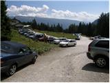
After crossing the Rateče or Predel border crossing, drive to Trbiz / Tarvisio, then continue on the motorway to Udine. Leave the motorway at Tolmezzo and continue towards Ampezzo and the Passo della Mauria mountain pass. After the pass, the road starts to descend and leads into the Cadore valley, where you turn right towards Auronzo. Shortly before this point, turn right and continue towards the Alpine pass of Passo Monte Croce. Before the road begins to climb in earnest towards the pass, turn left towards the Val Grande valley. Continue along the narrower and mostly asphalted road, which you follow until you reach the parking area of the Rifugio Selvapiana I. Lunelli hut.
Path description:
From the parking lot, continue along the macadam road, which turns into a wide footpath after just a few minutes. The path soon passes out of the forest, where it soon leads to a small bridge over which you cross a clear stream. The path begins to climb more moderately towards the valley headland, which, in addition to numerous peaks, is also decorated with a relatively large waterfall. At the valley head, the marked path turns to the left and then climbs in a few serpentines above the waterfall. Higher up, cross a few small streams over bridges, and then a few minutes' further walking on an occasionally steeper path leads to a marked crossroads. Here you continue to the right and, after a short climb, reach the Rifugio Berti hut.
Pictures:
 1
1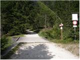 2
2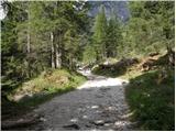 3
3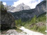 4
4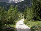 5
5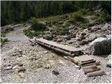 6
6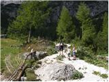 7
7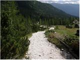 8
8 9
9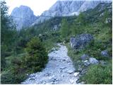 10
10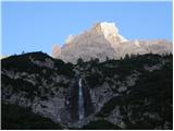 11
11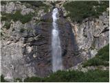 12
12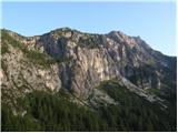 13
13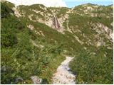 14
14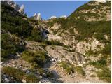 15
15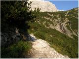 16
16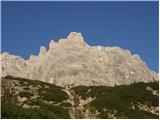 17
17 18
18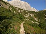 19
19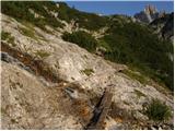 20
20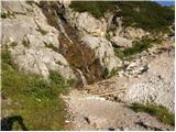 21
21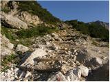 22
22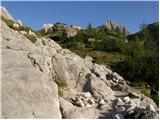 23
23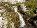 24
24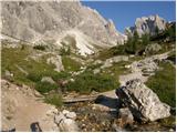 25
25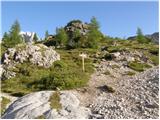 26
26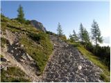 27
27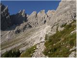 28
28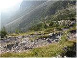 29
29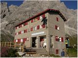 30
30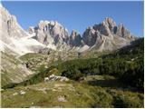 31
31
Discussion about the trail Rifugio Selvapiana I.Lunelli - Rifugio Berti al Popera