Rifugio Tolazzi - Monte Capolago / Seekopf
Starting point: Rifugio Tolazzi (1350 m)
| Lat/Lon: | 46,59199°N 12,8678°E |
| |
Time of walking: 3 h 45 min
Difficulty: very difficult marked way
Altitude difference: 1204 m
Altitude difference po putu: 1230 m
Map: Tabacco 01 1:25.000
Recommended equipment (summer): helmet
Recommended equipment (winter): helmet, ice axe, crampons
Views: 7.851
 | 3 people like this post |
Access to the starting point:
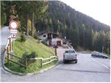
From Trbiz/Tarvisio, take the motorway to Udine/Vidmo. Leave the motorway at the Tolmezzo exit. At Tolmezzo, you also leave the road leading to the Passo di Croce Carnico / Plockenpass and head towards Villa Santina. In Villa Santina, at the roundabout, go straight ahead following the signs for Ovaro, Sappada. Follow this road until Forni Avoltri, where turn right after the Collina signs. Follow the asphalted road until you reach the parking lot in front of the Tolazzi hut.
Path description:
From the parking lot at the Tolazzi hut, continue along the road following the Rif signs. Lambertenghi-Romanin. After a short climb, you reach a crossroads where you turn left along a narrower road (route 144), and the road to the right leads to the Marinelli hut. Leave the road soon and turn right onto a footpath that begins to climb through the forest. The path runs along the right side of the valley and occasionally offers a fine view of the Monte Coglians on the right and the Monte Capolago on the left side of the valley. When you come out of the forest, you will see the Volaia saddle in front of you, which is also the Lambertenghi-Romanin hut. The trail then climbs alongside the funicular for some time before joining the 145 trail from the Marinelli hut on the right. A short climb and you soon reach a poorly visible fork in the path, where you leave the 144 and continue left (south-west) on a less well-trodden path that leads over scree. At the end of the scree, we enter the climbing part of the route and, after climbing over the initial gully, we realise that the path is very poorly trodden and that there will not be much fixed safety gear on the route. The path then turns to the right and starts to climb up steep grass. When you come out of the steep grasses, the last traces of the path disappear and from here on you will only be able to orientate yourself with the help of the markings (red dots) and a few cairns. Turn right again and in a short descent and ascent cross the exposed slope to the north. Soon we re-enter a steep gully, from which the markings soon direct us left onto steep smooth rocks. A slightly less steep climb follows, but all the more precipitous, towards the southern ridge of the mountain. When you reach the ridge, continue right along the unprotected ridge, which becomes very exposed and choppy. After the ridge, turn right and climb up the eastern slope of the mountain again. There is an exposed and crumbly traverse northwards, then turn left and start climbing on steep rocky terrain. The slope becomes even steeper and we are soon surprised by the only small rock on the whole route. There are a few more climbs up the steep rocky slope to the north-west, and then, just below the summit, we reach the main ridge of the mountain. Climbing on the ridge can be avoided by a short descent to the eastern side of the mountain, followed by a slightly less demanding short climb to the very scenic summit.
Vzpon na Monte Capolago / Seekopf je zelo zahteven s plezanjem do 2. stopnje in je primeren samo za najbolj izurjene gornike. Zelo priporočljiva je tudi uporaba belaying.
Kljub temu, da je pot markirana pa je tudi orientacija na nekaj mestih zelo težavna.
Sestopi se po poti vzpona.
Pri sestopu se splača obiskati še jezero Wolayer See od katerega je čudovit pogled na Monte Capolago.

Pictures:
 1
1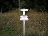 2
2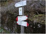 3
3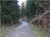 4
4 5
5 6
6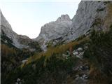 7
7 8
8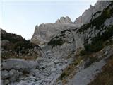 9
9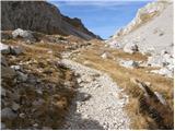 10
10 11
11 12
12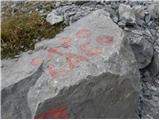 13
13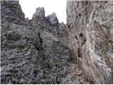 14
14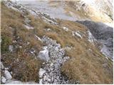 15
15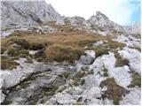 16
16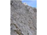 17
17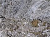 18
18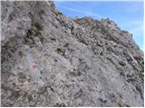 19
19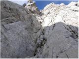 20
20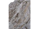 21
21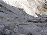 22
22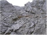 23
23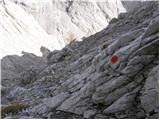 24
24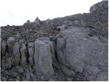 25
25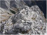 26
26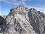 27
27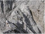 28
28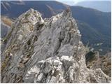 29
29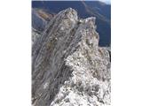 30
30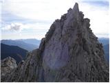 31
31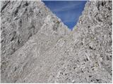 32
32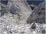 33
33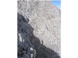 34
34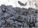 35
35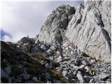 36
36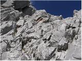 37
37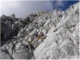 38
38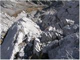 39
39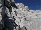 40
40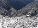 41
41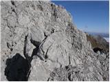 42
42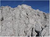 43
43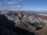 44
44 45
45 46
46 47
47
Discussion about the trail Rifugio Tolazzi - Monte Capolago / Seekopf
|
| Matjaz_656. 08. 2016 |
potrebno je biti pozoren na odcep na stezo po melišču ... tisti ob odcepu poti 145 namreč ni pravi ... je potrebno iti malo višje ... da ne pristaneš na 2. strani gore ... kot sem sam  BLOG BLOG in FOTKE
|
|
|
|
| borlepadrino29. 08. 2016 |
Super izkušnja.treba paziti na vsak korak in imeti dve ali tri glave na vratu!!!
|
|
|
|
| Matjaz_654. 08. 2017 |
res je ... od prebijanja po travah in skrotju … do prav prijetnega poplezavanja v kompatni skali … in plezanja v razbitem in naloženem svetu … kjer je potebno vsak stop in oprimek preveriti 2x  ampak se obrestuje  BLOG BLOG in FOTKE 
|
|
|