Rifugio Tolazzi - Rauchkofel
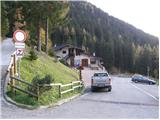
Starting point: Rifugio Tolazzi (1350 m)
| Lat/Lon: | 46,59199°N 12,8678°E |
| |
Time of walking: 3 h 15 min
Difficulty: partly demanding marked way
Altitude difference: 1110 m
Altitude difference po putu: 1140 m
Map:
Recommended equipment (summer):
Recommended equipment (winter): ice axe, crampons
Views: 2.640
 | 1 person likes this post |
Access to the starting point:
From Trbiz/Tarvisio, take the motorway to Udine/Vidmo. Leave the motorway at the Tolmezzo exit. At Tolmezzo, you also leave the road leading to the Passo di Croce Carnico / Plockenpass and head towards Villa Santina. In Villa Santina, at the roundabout, go straight ahead following the signs for Ovaro, Sappada. Follow this road until Forni Avoltri, where turn right after the Collina signs. Follow the asphalted road until you reach the parking lot in front of the Tolazzi hut.
Path description:
From the parking lot at the Rifugio Tolazzi hut, continue along the road following the Rif signs. Lambertenghi-Romanin. After a short climb, you reach a crossroads where you turn left along a narrower road (route 144), and the road to the right leads to the Marinelli hut. Leave the road soon and turn right onto a footpath that begins to climb through the forest. The path runs along the right side of the valley and occasionally offers a fine view of the walls of Monte Coglians / Hohe Warte on the right and Monte Capolago on the left side of the valley. When you come out of the forest, you will see the Volaia / Wolayer Pass, where the Rifugio Lambertenghi-Romanin hut is located. The trail then climbs alongside the cable car for a while before joining the trail 145 from the Rifugio Marinelli hut on the right. There is a short climb and soon we reach a faint crossroads where the path to Monte Capolago branches off to the left and we continue straight on and soon reach the Rifugio Lambertenghi-Romanin hut.
From the hut it is then about a 5-minute walk to the lake on the Austrian side of the Volaia / Wolayer Pass, and a further 5-minute walk to the Wolayerseehütte mountain hut.
From the mountain lodge, continue to the right, along the marked trail towards the Rauchkofel summit. The path, which climbs gently at first, quickly becomes "upright" and continues to climb over relatively steep grassy slopes. The path is higher and turns slightly to the left, where a moderate ascent then leads to a small pass where there is a crossroads. Continue left along the relatively steep path, which climbs over the grassy slopes of the mountain. Higher up, the path turns slightly to the left and leads to the main ridge. Continue slightly right on an increasingly steep path which continues to climb over very steep grassy slopes. The path then leads us to a rope tower, which we then use to climb to the top of the peak in a few minutes of further walking.
Rifugio Tolazzi - Wolayer See 1:45, Wolayer See - Rauchkofel 1:30.

Pictures:
 1
1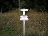 2
2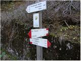 3
3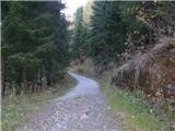 4
4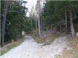 5
5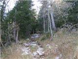 6
6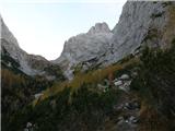 7
7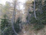 8
8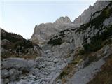 9
9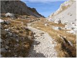 10
10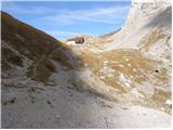 11
11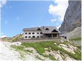 12
12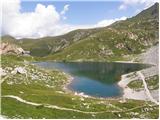 13
13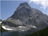 14
14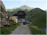 15
15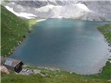 16
16 17
17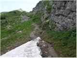 18
18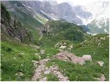 19
19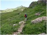 20
20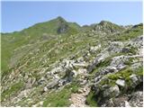 21
21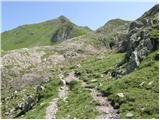 22
22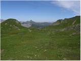 23
23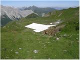 24
24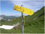 25
25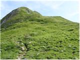 26
26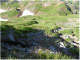 27
27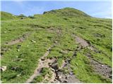 28
28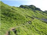 29
29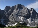 30
30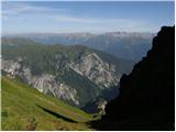 31
31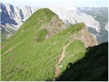 32
32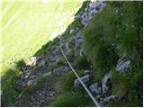 33
33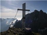 34
34 35
35
Discussion about the trail Rifugio Tolazzi - Rauchkofel