Rio Bianco - Bivouac Gorizia
Starting point: Rio Bianco (980 m)
| Lat/Lon: | 46,4095°N 13,536°E |
| |
Time of walking: 2 h 30 min
Difficulty: easy marked way
Altitude difference: 970 m
Altitude difference po putu: 980 m
Map: Julijske Alpe - zahodni del 1:50.000
Recommended equipment (summer):
Recommended equipment (winter): ice axe, crampons
Views: 18.250
 | 2 people like this post |
Access to the starting point:
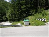
From Kranjska Gora, take the Rateče border crossing to Trbiž / Tarvisio. In Trbiz, turn left towards Bovec and follow the road to the crossroads near Lake Rabeljsko. Here, turn right towards Nevea Pass / Sella Nevea. Follow this road, which climbs for the most part, until you reach a bridge where, at a left-hand bend, the road crosses the White Water stream / Rio Bianco. On the left side of the road you will see a few small car parks.
From Bovec, drive to the Predel border crossing, from which you descend to the Italian side. Just after Lake Rabelj, you will reach a crossroads where you turn left towards the Neveje Pass / Sella Nevea. Continue as described above.
Path description:
From the signs at the beginning of the trail (before the bridge on the right side of the road), continue through the forest on the right side of the Rio Bianco stream, which will take you uphill for some time. The valley of the White Water (Italian: Riobianco) is named after the stream. The path then turns left and crosses small streams several times. Later, the path turns slightly to the right again and there is a short climb in the keys to the abandoned Brunner hut, where there is no view due to the forest. At the hut, where there is also a fork in the trail, continue straight ahead along trail 625 towards the Gorizia bivouac. The path then soon emerges from the forest and climbs along the stream through dwarf pines. Later the path turns left and leads to a crossroads. We continue on the left path towards the Gorizia bivouac, and the path branches off to the right towards the White Water notch (ital. Forca di Rio Bianco). Dwarf pines then soon ends and the path starts to climb a little steeper. When the path flattens out a little again, the inscription on the rock directs us left towards the bivouac, which is about 50 metres away, and to the right is a direct path towards the Krnic notch (ital. Forcella del Vallone).

Pictures:
 1
1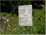 2
2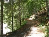 3
3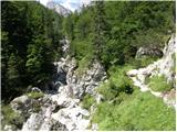 4
4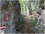 5
5 6
6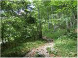 7
7 8
8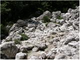 9
9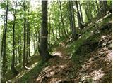 10
10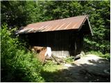 11
11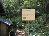 12
12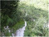 13
13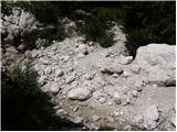 14
14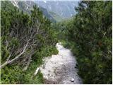 15
15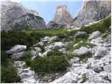 16
16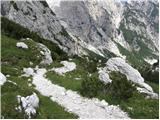 17
17 18
18 19
19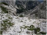 20
20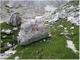 21
21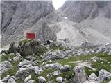 22
22
Discussion about the trail Rio Bianco - Bivouac Gorizia
|
| Lj7. 07. 2012 |
Super tura za vroč poletni dan, saj velik del poti poslušaš šumenje potoka Bele vode in se lahko tudi osvežiš v katerem od tolmunov. Prijetno presenečenje pri koči Brunner: koča je obnovljena (sicer danes zaprta, ni nobene oznake glede obratovanja), jasa očiščena drevja, tako da je izpred koče lep razgled na Jerebico. 
|
|
|
|
| IgorZlodej7. 07. 2012 |
Gre za gozdarsko kočo, ki je za obiskovalce zaprta, uporabljajo jo le člani CAI Tarvisio. Je pa obnovljena že od lani.
|
|
|
|
| Lj8. 07. 2012 |
Igor, hvala za informacijo. Gozdarji in lovci imajo res najlepše lokacije za svoje koče. Lp
|
|
|
|
| J.P.9. 11. 2025 09:57:46 |
Zasledila sem, da se v koči Brunner po dogovoru lahko tudi prespi. Krasna tura tudi za te jesenske dni...sneg nas dočaka šele na 1800m. Lp
|
|
|
|
| turbo9. 11. 2025 18:18:05 |
|
|
|
|
| 2061alessio10. 11. 2025 17:39:53 |
zdravo, ja je še aktualen ...do jutri, ker bomo potem zaprli vodo, pripravili drve za pec , pospravili itd. in cez zimo ne bo na razpolago, rezervacije v leto 2026 bodo potekale od spomladi dalje do jesena preko e-mail 
|
|
|
|
| turbo10. 11. 2025 17:43:36 |
Olala, hvala za info. Informacija vredna runde 
|
|
|
|
| J.P.12. 11. 2025 15:48:58 |
Hvala obema za koristne info!
|
|
|