Starting point: Rio Bianco (989 m)
| Lat/Lon: | 46,4084°N 13,534°E |
| |
Time of walking: 2 h 30 min
Difficulty: partly demanding marked way
Altitude difference: 805 m
Altitude difference po putu: 884 m
Map: Julijske Alpe - zahodni del 1:50.000
Recommended equipment (summer):
Recommended equipment (winter): ice axe, crampons
Views: 11.725
 | 2 people like this post |
Access to the starting point:
a) From Kranjska Gora, take the Rateče border crossing to Trbiz/Tarvisio. In Trbiz, turn left towards Bovec and follow the road to the crossroads near Lake Rabeljsko. Here, turn right in the direction of the Nevea Pass/Sella Nevea. Follow this road, which is mostly ascending, to a bridge where the road crosses the White Stream/Rio Bianco. Just a few metres after the bridge (just before the second bridge) you will see direction signs for Jerebica/Cima del Lago on the left hand side of the road. Turn left here, descend slightly and then park in the parking lot next to the large gravel areas.
b) From Bovec, drive to the Predel border crossing, from which you descend to the Italian side. Just after Lake Rabelj, you will reach a crossroads where you turn left towards the Neveje Pass/Sella Nevea. Continue as described above.
Path description:
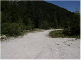
From the parking lot, continue along the dirt road, which descends gently over extensive gravel. After about 5 minutes of walking, you will come to the next signposts, which direct you through a small gravel road into the forest. The path then immediately turns to the right and climbs slightly along torrential deposits of sand and stones. After a few minutes of further walking, you reach the completely broken cart track, which you follow upwards to the left. Continue up the aforementioned cart track, which leads to an unmarked crossroads (usually cairn) at a left-hand bend.
Continue to the right (left on the steep cart track Jerebica) on the initially less visible path (fallen trees), which continues for a short distance on cart track. The path continues into dense forest, where it climbs steeply for a short time. After a few minutes, the steepness subsides and the path leads to an old military mulatier, which turns slightly to the right. The ascent continues along the above-mentioned mulatier, which occasionally offers beautiful views of the surrounding area. Higher up, the forest is gradually replaced by scrub, and the path turns further to the right and even descends slightly. After a few steps downhill, the path turns sharp left and passes under the steep walls of Bohnice (1946 m), where it then climbs steeply, over increasingly scenic slopes. Further along the occasionally quite overgrown path, you quickly climb to a scabby world, where you can see the first small military tunnels along the way. Higher up, signs point slightly to the left, and the path leads us into a world full of karst potholes. As the path passes exactly over the edge of the potholes, there is a risk of slipping in places. The path ahead climbs steeply for a short time and, after a few minutes of further walking, leads to a marked crossroads located in the immediate vicinity of the state border. Here you will notice an indistinct peak slightly to the left, which you will climb in a few steps of further walking (the way to the summit is not marked).

Pictures:
 1
1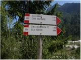 2
2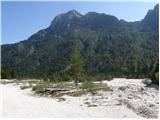 3
3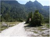 4
4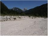 5
5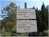 6
6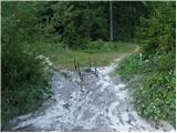 7
7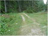 8
8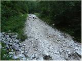 9
9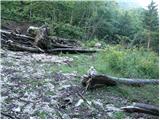 10
10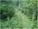 11
11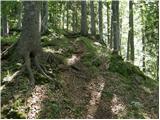 12
12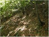 13
13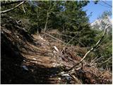 14
14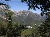 15
15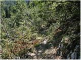 16
16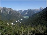 17
17 18
18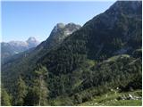 19
19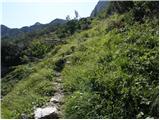 20
20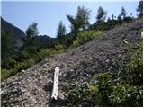 21
21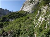 22
22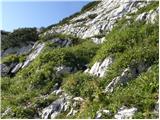 23
23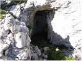 24
24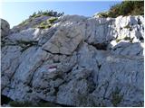 25
25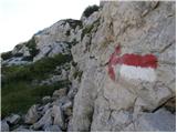 26
26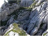 27
27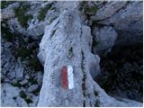 28
28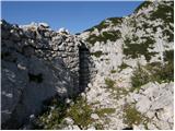 29
29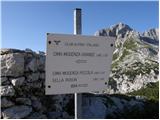 30
30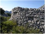 31
31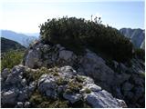 32
32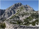 33
33
Discussion about the trail Rio Bianco - Škraplja
|
| esther10. 09. 2009 |
Lepo  Drugič grem tut jst zraven 
|
|
|
|
| klm29. 10. 2012 |
Izboklina, ki jo opisujete, sploh ni Škraplja, pač pa kopa nad prevalom (Sella Jama. Škraplja je dejansko neizrazita vzpetinica severovzhodno proti Snežnemu vrhu. 
|
|
|
|
| margu5014. 07. 2018 |
Je s te strani mogoč vzpon na Černelsko špico, po sliki sodeč zgleda ne pretežko  
|
|
|