Ristorante Pietofana - Tofana di Dentro
Starting point: Ristorante Pietofana (1675 m)
| Lat/Lon: | 46,54074°N 12,09882°E |
| |
Time of walking: 4 h 40 min
Difficulty: difficult marked way
Altitude difference: 1563 m
Altitude difference po putu: 1580 m
Map: Tabacco 03 1:25.000
Recommended equipment (summer): helmet
Recommended equipment (winter): helmet, ice axe, crampons
Views: 3.613
 | 3 people like this post |
Access to the starting point:
a) Access from Gorenjska: Via Border crossing Rateče or Predel to Trbiž / Tarvisio and then along the motorway towards Udine to the Tolmezzo exit. From Tolmezzo, follow the road towards Ampezzo and the Passo della Mauria mountain pass. The road then descends and leads to a crossroads where you turn left (possibly right) towards Cortina d'Ampezzo. At all subsequent junctions, follow the signs for Cortina d'Ampezzo.
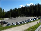
In Cortina d'Ampezzo, follow the signs for the Passo di Falzarego Alpine pass. Follow this ascending road to a crossroads where a narrower road branches off to the right towards the Pie Tofana restaurant and the Col Druscie hut. The crossroads are at the bottom of the road towards the Passo Falzarego pass. At this junction, turn right and follow the asphalted road until you reach the large parking lot of the Pietofana restaurant.
b) From the coastal side: Take the motorway towards Venice/Venezia. At Portogruaro, leave the motorway towards Venice and turn right on the motorway towards Pordenone. At the next motorway junction near Conegliano, turn right towards Belluno. The motorway ends near Belluno and we continue towards Cortina d'Ampezzo at the next junctions. Continue as described above.
Path description:
From the parking lot, continue along the asphalted road and then turn left onto the dirt road after the signs "Rifugio Pomedes, Forcella Ra Valles". The dirt road, which is closed to traffic, begins to climb and quickly leads to a marked crossroads.
At the crossroads, leave the road and turn right onto a footpath marked 'Forcella Ra Valles'. The path then climbs through the forest for some time, so the view is rather limited. Later the path crosses a ski slope and starts to climb through dwarf pines. Here we start to get better and better views of the surrounding peaks and the path soon leads us from dwarf pines to the scree. The path then turns slightly to the right and crosses the scree on the ascent. This path leads to a ski slope which is then ascended. The ski slope then becomes quite steep and, because of the debris on the path, a little care is needed. Higher up, the ski slope curves to the left, and then the footpath briefly gives way to the ski slope on the left-hand side. Once back on the slopes, there is only a short climb up to the Forcella Ra Valles stump, which offers views towards Tofana di Mezzo and Tofana di Dentro.
From the stump where there is a marked crossroads, continue left along route 407. After a short climb, you will reach a slightly less visible crossroads where a path branches off to the left, following the ski slope towards the Ra Valles hut.
We continue slightly to the right and cross the slope towards the base of the Tofana di Mezzo and Tofana di Dentro peaks. The path then ascends for some distance and soon enters the Parco Naturale delle Dolomites d'Ampezzo. The trail then continues northwards for some time and leads to a marked crossroads.
To the right, the path leads down the Canalon de Ra Ola valley, while we continue slightly to the left and climb on the scree below the cliffs of the summit of Tofana di Dentro. The path along the scree leads to the military ruins from the First World War. Here we continue slightly to the right and the path leads us through a window to steeper slopes. The path then turns slightly to the left and climbs up the steep slope, mostly in steep switchbacks. The slope here is quite steep and occasionally we are helped by a small cable car. The path then turns to the right and there is a slightly exposed traverse which leads to a saddle on the south side of the Cima Formenton peak. At the saddle where the view to the west opens up, continue left and then climb the slope along the ridge. In a few places we are also helped by a ropeway, then the path turns slightly to the left and after crossing it leads us to the Baracca degli Alpini bivouac.
From the bivouac, after a short crossing, the path soon leads us to a ridge which we then climb for some time. Further along, the path from the ridge leads us to the scree on the eastern side of the summit of Tofana di Dentro. At first, the ascent crosses the scree to the south, then the path turns to the right and climbs up a relatively steep scree slope to the very scenic Tofana di Dentro peak.
Descend by the ascent route or continue on to Tofana di Mezzo from where you can also return to the valley by gondola. If you continue on to Tofana di Mezzo you will also need a self-belaying kit, as the route is more difficult further on.

Pictures:
 1
1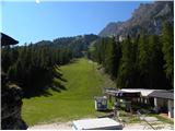 2
2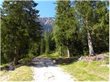 3
3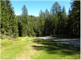 4
4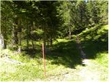 5
5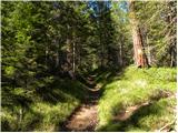 6
6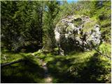 7
7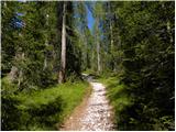 8
8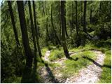 9
9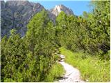 10
10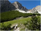 11
11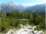 12
12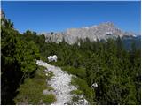 13
13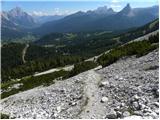 14
14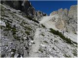 15
15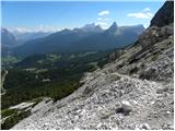 16
16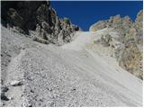 17
17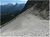 18
18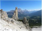 19
19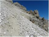 20
20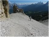 21
21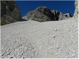 22
22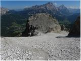 23
23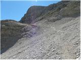 24
24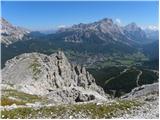 25
25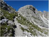 26
26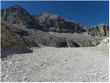 27
27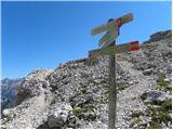 28
28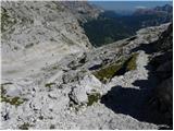 29
29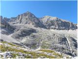 30
30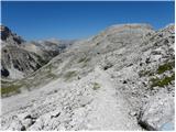 31
31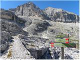 32
32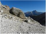 33
33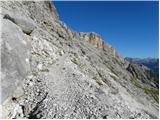 34
34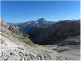 35
35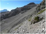 36
36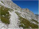 37
37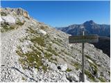 38
38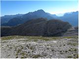 39
39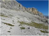 40
40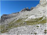 41
41 42
42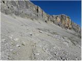 43
43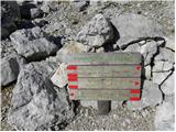 44
44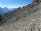 45
45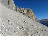 46
46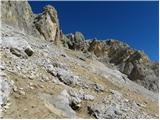 47
47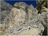 48
48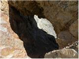 49
49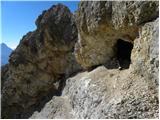 50
50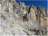 51
51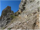 52
52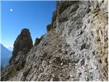 53
53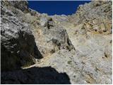 54
54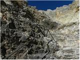 55
55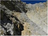 56
56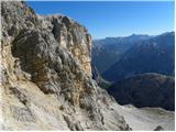 57
57 58
58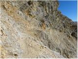 59
59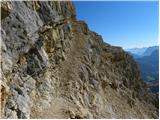 60
60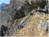 61
61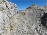 62
62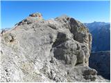 63
63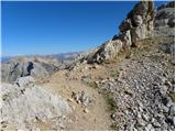 64
64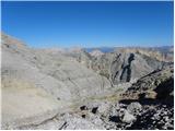 65
65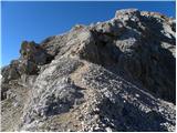 66
66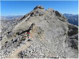 67
67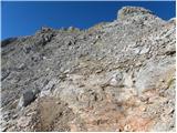 68
68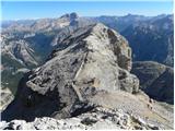 69
69 70
70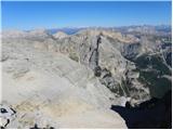 71
71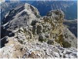 72
72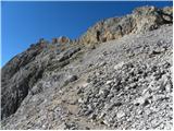 73
73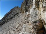 74
74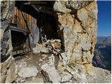 75
75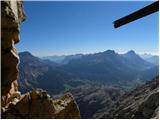 76
76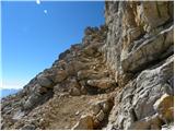 77
77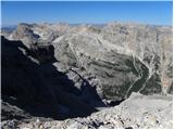 78
78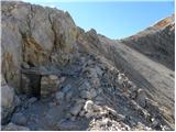 79
79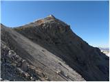 80
80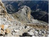 81
81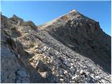 82
82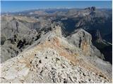 83
83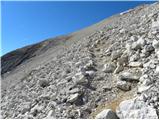 84
84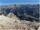 85
85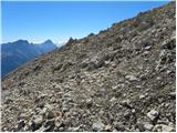 86
86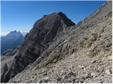 87
87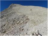 88
88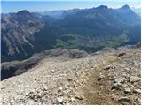 89
89 90
90 91
91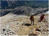 92
92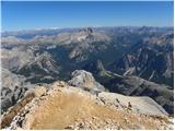 93
93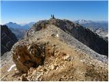 94
94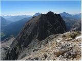 95
95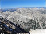 96
96 97
97
Discussion about the trail Ristorante Pietofana - Tofana di Dentro
|
| pohodnik3336. 09. 2023 11:45:42 |
Bil na vrhu okol 22.8.2023. Opisana pot z vzhodne, jv smeri je uradno zaprta, vendar,...
Vprašal sm italjana ter je rekel, da so zaprli pot zarad pravnih razlogov ter je normalno prehodna. Sam sem sestopil po njej ter ni bilo nekega problema. En odsek je res izpostavljen, ni varovan, neki je odneslo ter najbrž zato so zaprl. Izkušen gornik nebi smel met težav tle. V primerjavi z drugimi dostopi na Tofane je ta lažji ter manj izpostavljen, razn enega prečenja. Lp
|
|
|