Robanov kot - Križevnik (Križevnik mimo partizanske bolnice)
Starting point: Robanov kot (650 m)
Name of path: Križevnik mimo partizanske bolnice
Time of walking: 5 h
Difficulty: difficult pathless terrain, difficult unmarked way
Altitude difference: 1259 m
Altitude difference po putu: 1259 m
Map: Kamniške in Savinjske alpe 1:50.000
Recommended equipment (summer): helmet
Recommended equipment (winter): helmet, ice axe, crampons
Views: 2.020
 | 4 people like this post |
Access to the starting point:
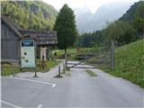
We drive to Luce (to get here from Mozirje or via the Volovljek Pass) and onwards to the Logar Valley. Turn off the main road towards Robanov Kot. After about 1200 m of asphalt you will reach the parking lot at Roban's farm where you park
Path description:
Take the dirt road towards Roban mountain pasture. First past a meadow and then through a forest, we reach a crossroads in 10 minutes: straight ahead Robanova mountain pasture, and we turn left in the direction of the Partisan Hospital. Soon we enter a large gravel area, continue straight in the direction of a large rock with a marker, then to the left for another 100 m where the markers direct us left into the forest. The path is initially gentle, then steeper and steeper. After 45 min. we are at the partisan hospital, the marked path ends here. Our path continues straight up or left along the forest back. After about 50 metres, the path turns right. Cross the slope to the forest ridge, then descend a little and cross two ravines. In the second gully there is an orange-red marker on a large boulder. This is for climbers, as the access to the wall is up the gully to the left. We go right across the gully in the direction of the sawed trees. The path continues through the forest to a saddle, where we turn left along the forest ridge (there is a large rock behind us - Fig. 18). The path turns into grass, then crosses a steep slope, continues to a small saddle and before the lookout (Fig. 22), we turn left, in the keys between the trees and rocks, to another small saddle with a lookout (Fig. 23). From here you can see a gully with a large rock barrier, continue left through grass and forest to the gully. Cross the gully and pass a log with a black plastic pipe on top. Turn left up a steep slope (27) to a saddle, and from there slant left uphill (28) past an odd-shaped tree-horn (29). Continue left up without a path through the forest to the next forest saddle, bear left and descend about 70 vertical metres down a steep slope (30) towards a steep gully to the left. In the gully there is a rock jump (31), about 10m below it look for a passage over (32) to the other side where there is a path between dwarf pines. The path (33) leads between dwarf pines to the bottom of a large basin (amphitheatre), continue to the right. Follow the path across the ravine and into the forest. The steep slope is blocked by rocks higher up, find the passage (37) and continue over dwarf pines to the left, where you come across the path again. Bear left under the wall (38). Continue mostly along the wall and passages into dwarf pines. The path, where it is still visible, is mostly overgrown, walk along a trackless path. Cross a larger gully (41), and on the vegetated back a view (42) opens onto a path towards the next larger gully. From the back, descend over the dense dwarf pines and emerge on a good-looking path. This leads along the wall and over dwarf pines into a gully, where the path ends. Cross the gully and continue right along the wall around the edge to the next gully. Follow the gully in easy climbing (I) 30m left up (43). On the right you will see a path, this is the approach past Roban's mountain pasture.
Go up the ravine (44) for another 20m, then cross left over the vegetated edge, where you will catch a path that leads to a steep grassy ravine. Go straight up the gully, turning left at a higher level to reach a grassy verge (47). Here you rejoin the track, the way ahead is mostly clear, helped by the branches that have been burnt. Higher up, the path is steeper, cut through dwarf pines. Above the large red rock basin we continue steeply upwards through the cut dwarf pines to a small clearing, where through a short lane of dwarf pines we enter the path leading from Polšak's mountain pasture. Turn left and follow the cut path to the top.

Pictures:
 1
1 2
2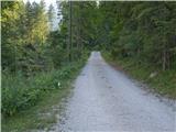 3
3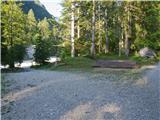 4
4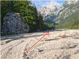 5
5 6
6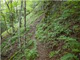 7
7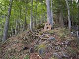 8
8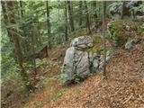 9
9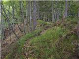 10
10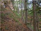 11
11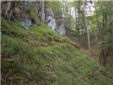 12
12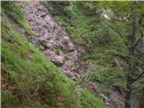 13
13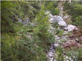 14
14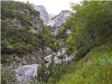 15
15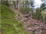 16
16 17
17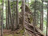 18
18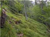 19
19 20
20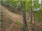 21
21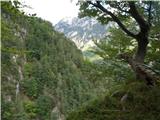 22
22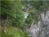 23
23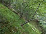 24
24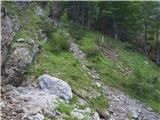 25
25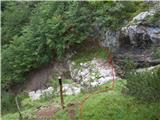 26
26 27
27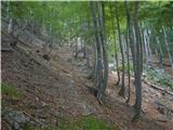 28
28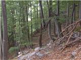 29
29 30
30 31
31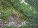 32
32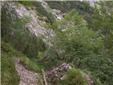 33
33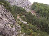 34
34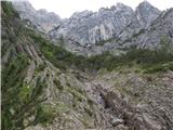 35
35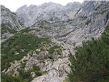 36
36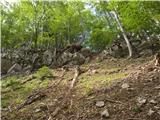 37
37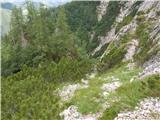 38
38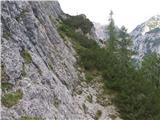 39
39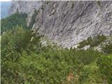 40
40 41
41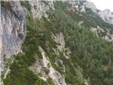 42
42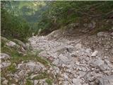 43
43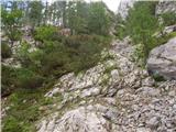 44
44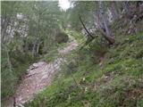 45
45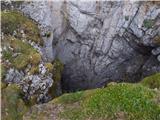 46
46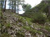 47
47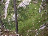 48
48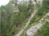 49
49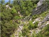 50
50 51
51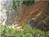 52
52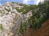 53
53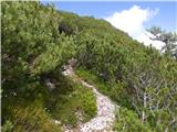 54
54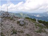 55
55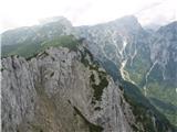 56
56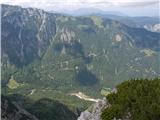 57
57
Discussion about the trail Robanov kot - Križevnik (Križevnik mimo partizanske bolnice)
|
| garmont3. 08. 2021 10:15:39 |
Na Križevnik ni markirane poti. 
|
|
|
|
| matic47. 07. 2024 09:23:54 |
Pot je brez posebnosti in normalno prehodna.
|
|
|
|
| klace8. 07. 2024 10:08:19 |
Orientacijsko je zelo zahtevna. Če zgrešiš pravo grapo in nadaljuješ prečno, so v nadaljevanju tudi občasno razvidne lovske stezice, ki pa te "zapeljejo" predaleč. Strmine! Štrik ni odveč. Tudi signal je pogojen, podatki ne delujejo. Previdno in srečno.
|
|
|
|
| dprapr8. 07. 2024 17:31:40 |
Se strinjam. Ta “pot” nikakor ni normalno prehodna. Tudi opis od “amfiteatra” dalje pod steno Križevnika mi ni najbolj jasen. Od tam dalje je kar lepo vidna stezica v desno.
Vsaj do grape, po kateri je pristop z Robanove planine.
|
|
|
|
| matic410. 07. 2024 08:45:33 |
S to "potjo" je tako, enkrat pot je ,drugič je ni. Tudi sam je nisem v prvo našel. V opisu nisem želel dolgovezit, če bi hotel opisati vse detajle, bi bil opis vsaj še enkrat daljši. Tistega ,ki ga ta pot zanima naj me kontaktira preko ZS, lahko se oblikuje manjša skupinica ,pa gremo skupaj na pot.  Tisti ,ki sprašujete za gps sled: ne uporabljam navigacije.
|
|
|
|
| dprapr10. 07. 2024 11:00:44 |
Vsekakor v tem pobočju poteka eden daljših in zahtevnih pristopov do glavne stene. Sva nazadnje s Tonetom zgrešila odcep, kljub temu, da sem tam že večkrat dostopal. Morda so bili krivi gobani.  Sva potem kar pred “amfiteatrom” prečila navzgor in naokoli, da sva ujela stezico do bivaka.
|
|
|