Robanov kot - Matkov kot (via RMK)
Starting point: Robanov kot (700 m)
| Lat/Lon: | 46,3948°N 14,703°E |
| |
Name of path: via RMK
Time of walking: 21 h
Difficulty: very difficult pathless terrain
Altitude difference: 220 m
Altitude difference po putu: 3500 m
Map: Kamniške in Savinjske Alpe 1:50.000
Recommended equipment (summer): helmet
Recommended equipment (winter): helmet, ice axe, crampons
Views: 14.685
 | 5 people like this post |
Access to the starting point:
Drive towards the Logarska dolina valley, where you turn left towards Robanovo kot. Park in the parking lot in front of Roban's Farm.
Path description:
Andrej Stritar, in his guidebook Kamniško - Savinjske Alpe, 2003, p. 199, describes the KK route, along the trackless trail from Matkov kot to Robanov kot. While I was exploring these ends, a new, slightly different connection between Matko and Robanov kot came to my mind. I wanted to take the most direct route through the most beautiful potholes, visiting beautiful cairns and also crossing peaks. So my route is quite different and because of the difficulty of the walk down through Hudi scratch I also reversed the route of the route from Robanovo to Matkov kot. Therefore, I have named the route I have walked the "RMK Route" - from Robanovo to Matkov kot, which is to be walked in three days or rounds, but can also be walked gradually in parts. You can spend the night in Koča na Klemenči jami and in Okrešlju.
First round - Krofička:
Robanov kot - Črni hriber - Ute - ridge Krofička - Krofička - along the hunting trail to Škrbino - Klemenča jama
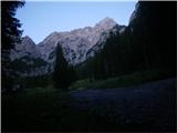
From Robanova kmetija we reach the pasture after less than an hour's walk. Here, turn right and follow the clearing, turning left into the forest at the end. The trail starts about 150 metres above the valley, at the top of a triangular rise that can be seen from the pasture. It is reached on the left. Keep right in the forest and climb up the initially wide gully, which narrows above. At the saddle you see a distinctive upright rock and opposite it is the start of the track. Then follow a fairly visible track over steep grasses. When you reach the saddle, where there is a wide gully on the other side, go right along a less distinct path. The next key point is a turnoff at an undistinguished grassy area, where you turn right and leave the path over the Black Hill. Cross a short overgrown meadow and continue through the woods. The path leads to a steeper scree slope, where you head up to a meadow and follow it to the right, where you soon retrace your steps. Cross to the right under the cliffs until you enter a thick and overgrown ravine and climb up it. Here we are greeted by a small stream as we walk along, but there is not always water. At the top of the ridge, the world opens out into the picturesque cirque, where Roban's shepherd used to live and now stands a restored hut under Utami. Then continue up to the saddle at the top of the ridge, which opens up a view of the Logar valley. Descend to the left, where a fallen tree trunk offers one of the best views of the Logar valley. Cross the grass below the ridge in the route Krofička. As the ridge becomes flatter, look for a passage between dwarf pines to the top of the ridge. Now walk more or less along the ridge, if the going gets more difficult, descend more to the right. This will take you to the next peak in the ridge - Travnik, 2029 m. Soon the ridge flattens out and is cut off on the right and heavily overgrown with dwarf pines on the left. Look for passages between the dwarf pines or retreat a few tens of metres lower. Shortly before the Krofička summit, climb up the left side of the ridge, reaching the summit on the right. Then descend the same path for the first few metres into the wide, rugged gully below the summit. Cross below the top of Krofička via the dwarf pines route. Once past the smooth slabs, there is a steep descent between dwarf pines and a grassy-rock world. When the steepness subsides, move to the right into the meadows and descend gently to dwarf pines, where you will find a path. After a few metres, you reach the almost vertical chimney, which is about 10 m high, and descend to a small saddle by a damaged steel cable. Continue straight on the saddle to dwarf pines and descend a ridge protected by a rope into a ravine where there is a memorial plaque. To the right, along the rocks of the Stumps, you will reach the marked trail to Ojstrica. Turn right here to Koča na Klemenči jami.
Special features: orientationally demanding tour, tick protection and long trousers recommended for walking through dwarf pines, risk of slipping on steep grasses, technically demanding descent along the hunting trail from Krofička to Škrbino.
Round 2 - Rjavčki vrh:
Klemeča jama - Rjavčki vrh - over Grlo to Pasje sedlo - Okrešelj
From the hut at Klemenča Jama follow the marked trail to Ojstra over Škarje. At the saddle below Rjavčki vrh, before the characteristic rock, turn sharp right off the marked trail up the path. The path leads over a small bush with lush grass. There is a climb of about 50 m to Rjavčski vrh. Follow the same path back to the marked trail and turn right at the saddle below the base of Rjavčski vrh. Descend into cirque and keep to the right side of the rather steep slope. Cross two small scree fields. Below cirque in dwarf pines, find a quite visible track, as this used to be a marked path, so the faded markings are still visible in some places. When the path becomes flatter in the meadow below, turn left towards the Planjava wall. The slope narrows into a short jump, which can be climbed in the keys with the help of pegs. Below it, follow a track in the grass to the left of a scrubby gully. In the valley, turn left up again over scree below Planjava towards Pasje sedlo, initially more gentle, then steeper. At the top of the saddle, descend crosswise to the marked path to Kamniško sedlo, where you turn right to Frischauf's house at Okrešlju.
Special features: technically more difficult descent through Grlo, lots of scree.
Third round - Krnička goraXX:
Okrešelj - Hudi prask - Latvica - Krnička gora - Matkova krnica - along the lower path to Matkov kot
From Frischaufov dom na Okrešlju follow the marked trail towards Mrzla Gora. After crossing the second torrent, turn right into the forest, where you will follow a fairly visible path. This leads to a triangular scree slope below Hudi scratch. A commemorative plaque on the rock in front of it confirms that we are on the right track. Right at the start, there is a grade II rock jump to climb, then the gully widens. Turn right and walk first on a rather crumbly scree, then the gully narrows into a chute. Below the top of the ridge, turn left and cross on easier ground to the next gully. At the top of this gully, follow the path towards an upright quadrangular rock, which you pass on the left and climb towards the top of the ridge. Just below it, in the dwarf pines, look for a path to the left, where you will see a distinctive notch at the bottom through which you must pass. Then descend to a saddle and then lower along the wall to dwarf pines, through which you reach a meadow. Climb directly to the top of the ridge, where there is a passage to Latvica. Descend to the marked path for Mrzla gora, which goes a little lower. Cross towards Krnička gora on a very crumbly steep slope which crosses under a prominent break. When you reach a grassy clearing, between dwarf pines climb straight up to the saddle in front of the start of the Frost Mountain ridge. Descend to the Austrian side and walk right towards dwarf pines. Then go up to the ridge and climb it, dwarf pines retreating to the left. The summit of Krnička gora is reached by a wide ledge. From the summit, continue on by first descending a little and then climbing gently across to the left again on a brushy gully. Descend again and then climb across the gullies. Cross another small notch and you are on the ridge of Krnička Gora. Keep right along the ridge, then left. At the end of the ridge, descend along dwarf pines to a characteristic stubble covered with dwarf pines. Here begins an exposed grade II climb through scree on crumbly terrain, or descend by ropes. At the base, a view of the idyllic Matkov cirque opens up on the right. Between dwarf pines, find the passage to the remains of the Mother Shepherd's hut. Continue between dwarf pines along the entrance road, where the trail starts. Later it leads to the left under the cliff to a ravine, which you cross and turn right down. The path runs parallel to the ravine with grass on the left. Later, cross the ravine again and walk along the right-hand side. A little lower down, cross the ravine again to the left by the small pools. Walk along the steep grass for a while, then descend into the forest. Cross a few more ravines, sometimes with water running through them. The track descends gently and is lost at a typical stump, 60 metres above the track. Descend to the track and turn right twice to emerge at Matkov kot at the start of the marked path to Mrzla Gora.
Special features: technically the most difficult tour on the described route, mountaineering ascent up to grade II, the rock is quite crumbly in places, belaying is required, for inexperienced climbers accompanied by a guide. Orientation is also difficult.

On the way: Robanova kmetija (650m),
Robanova planina (890m),
Robanovega krnica (1700m),
Krofička (2083m),
Škrbina (1792m),
Koča na Klemenči jami (1208m),
Rjavčki vrh (Planinšca) (1898m),
Dno poti skozi Grlo (980m),
Pasje sedlo (1636m),
Dom na Okrešlju mountain hut (1396m),
Vrh Hudega praska (1800m),
Latvica (1750m),
Sedlo med Mrzlo in Krničko goro (1900m),
Krnička gora (2064m),
Krničko sedlo (1811m),
Matkova krnica (1700m),
Matkov kot (920m)
Pictures:
 1
1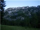 2
2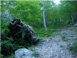 3
3 4
4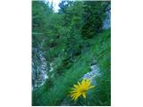 5
5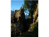 6
6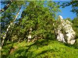 7
7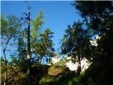 8
8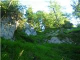 9
9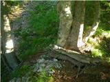 10
10 11
11 12
12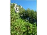 13
13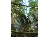 14
14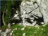 15
15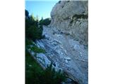 16
16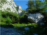 17
17 18
18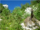 19
19 20
20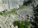 21
21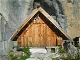 22
22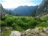 23
23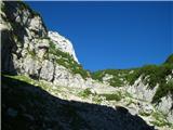 24
24 25
25 26
26 27
27 28
28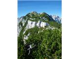 29
29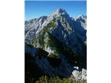 30
30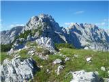 31
31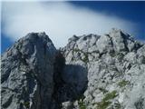 32
32 33
33 34
34 35
35 36
36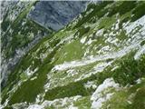 37
37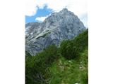 38
38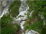 39
39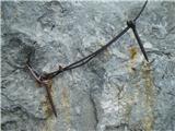 40
40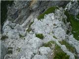 41
41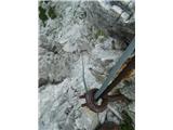 42
42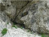 43
43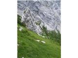 44
44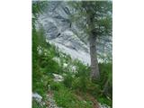 45
45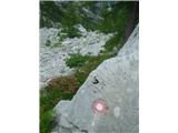 46
46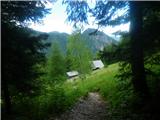 47
47 48
48 49
49 50
50 51
51 52
52 53
53 54
54 55
55 56
56 57
57 58
58 59
59 60
60 61
61 62
62 63
63 64
64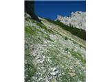 65
65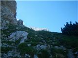 66
66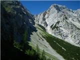 67
67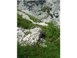 68
68 69
69 70
70 71
71 72
72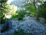 73
73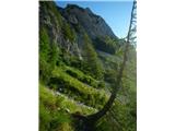 74
74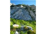 75
75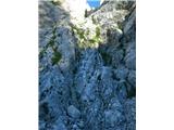 76
76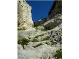 77
77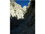 78
78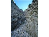 79
79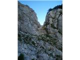 80
80 81
81 82
82 83
83 84
84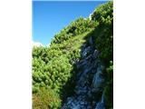 85
85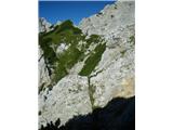 86
86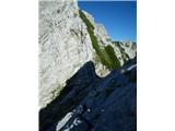 87
87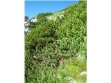 88
88 89
89 90
90 91
91 92
92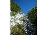 93
93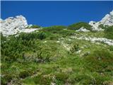 94
94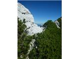 95
95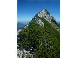 96
96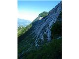 97
97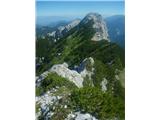 98
98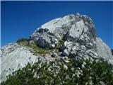 99
99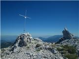 100
100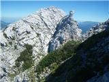 101
101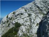 102
102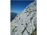 103
103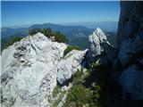 104
104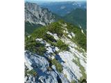 105
105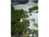 106
106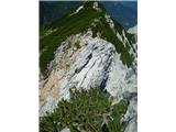 107
107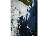 108
108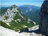 109
109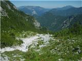 110
110 111
111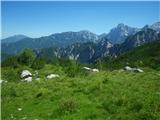 112
112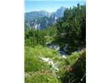 113
113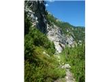 114
114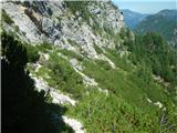 115
115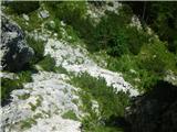 116
116 117
117 118
118 119
119 120
120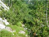 121
121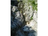 122
122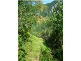 123
123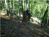 124
124 125
125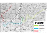 126
126
Discussion about the trail Robanov kot - Matkov kot (via RMK)
|
| pika14. 08. 2013 |
Medo, čestitke, in hvala za izčrpen opis poti.
|
|
|
|
| garmont14. 08. 2013 |
Lažji ( in priporočljivejši ) vstop v Hudi prask je levo od spominske plošče. V desnem vstopu sta nad prvo skalno stopnjo dva klina za varovanje - priporočljivo v mokrem.
Lp
|
|
|
|
| dprapr14. 08. 2013 |
Zanimiva "pot"!
Kljub zelo obiskanemu območju se izogne v samotne predele nad dolinami RK, LD in že tako manj obiskanemu MK.
Lepo pripravljen opis!
|
|
|
|
| medo*14. 08. 2013 |
Hvala, Pika in Dprapr  Garmont, vem za levi prehod v Hudem prasku in tudi pod grebenom Krničke gore se lahko naredi obvoz po »poti« iz Belske Kočne in tako najti lažji prehod na sedlo nad Matkovo krnico in se izogniti plezanju po krušljivi luski… po brezpotju je itak več variant, a nekje je treba potegniti črto. Vendar se meni zdi pot po grebenu zelo lepa in mal začinjenosti mora bit, da je runda bolj okusna 
|
|
|
|
| pohodnik3815. 09. 2013 |
31.8.se povzpel po delčku te poti to je skozi Hudi prask do Latvice.Kasneje sem nadaljeval v smer Mrzle gore.Navdušen nad potjo na terenu je res včasih kaj drugače zato pa velja izkušenost in pustolovski duh. SLIKE in osebni vtis z ture Lp! Tone
|
|
|
|
| pohodnik388. 07. 2014 |
Pred časom sem se zopet povzpel po enem delu te poti to je čez Črni hriber na Krofičko ki pa na cca polovici zavije v desno in nas na koncu pripelje do pstirskega stanu pod Utami. SLIKE in osebni vtis z ture-5-7-2014 Lp! Tone 
|
|
|