Rogarjev rovt - Rosenkogel/Hruški vrh (via Hruška planina)
Starting point: Rogarjev rovt (1175 m)
| Lat/Lon: | 46,464°N 14,0111°E |
| |
Name of path: via Hruška planina
Time of walking: 1 h 35 min
Difficulty: easy unmarked way
Altitude difference: 601 m
Altitude difference po putu: 601 m
Map: Karavanke - osrednji del 1:50.000
Recommended equipment (summer):
Recommended equipment (winter): ice axe, crampons
Views: 12.003
 | 2 people like this post |
Access to the starting point:
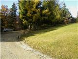
From the motorway Ljubljana - Jesenice take the exit Lipce and follow the road in the route Jesenice, where the signs for Planina pod Golico direct you to the ascending road (the third semaphorised crossroads from the centre or the railway station). The steep road leads to a crossroads where you turn left over a bridge towards Plavske Rovto. Once in the village, follow the road until it runs out of asphalt. After the village, the road descends slightly and you come across a right fork, but continue straight ahead. When you reach a small hamlet, you will see a wooden direction sign "Dovje 9 km" at the crossroads. Turn sharp left here and continue along the winding forest road for another 3 km, arriving at a larger ravine with cottages on the left. On the right, at a large right-hand bend, you will see cart track, which leads across a meadow, uphill to the north. Park in a suitable place nearby.
Path description:
Start on the above-mentioned cart track-like road (almost unsuitable for driving a car), uphill to the north. This quickly leads into the forest, where it starts to climb quite steeply. When the path turns slightly right and splits, continue on the right uphill steeper and steeper. The path increasingly takes on the appearance of a well-maintained forest road. After a few detours, the steepness gradually begins to ease, and finally, when the view opens up to the right towards the Rosenbachsattel saddle and Klek, the road finally gives way. After a short time, the road climbs again slightly, and soon we come across a barrier with a gate or gate. Enter mountain pasture, where, as soon as you see Hruški Vrh, go off the path left into a small hill to a pasture, and continue northwards towards a larger spruce with a (smaller) bench.
From here on, in the same direction, find the path uphill towards the forest, keeping to the right edge of the, at first, indistinct forest ridge. Here the path uphill seems to disappear from time to time, but it is not difficult to follow, as it runs along the ridge mentioned above (pasture on the right) all the time. Once out of the forest, continue up the valley between Rosenkogel and the Črničja ridge (unnamed on maps) on the left, near the top of which the path turns left towards a fence. Cross the latter and follow the less visible path to the right, steeply uphill (straight ahead towards mountain pasture Dovška Rosenbachsattel). Follow for approx. 15 min. A steep climb on grassy terrain (danger of slipping when descending in the wet) along the fence, then, when the steepness eases and we have crossed the mountain path (Via Alpina), we reach the "Izidor's sign" at the top, from where we continue a few metres to the right to a bench with a stamp and a registration book.

Pictures:
 1
1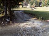 2
2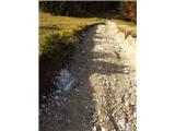 3
3 4
4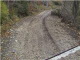 5
5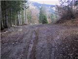 6
6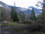 7
7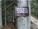 8
8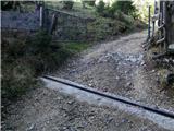 9
9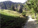 10
10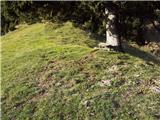 11
11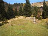 12
12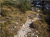 13
13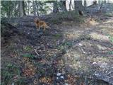 14
14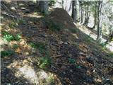 15
15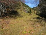 16
16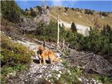 17
17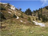 18
18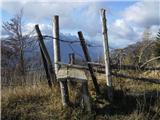 19
19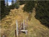 20
20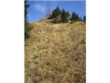 21
21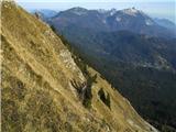 22
22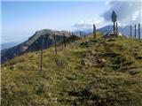 23
23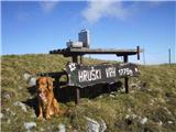 24
24
Discussion about the trail Rogarjev rovt - Rosenkogel/Hruški vrh (via Hruška planina)
|
| gmajna28. 10. 2009 |
"neimenovanim grebenom na levi"
Tale greben na levi ima ime, Črničje, vrhu rečemo tudi Črničji vrh (1610m). Je pa res, da je na zemljevidu označena samo višina.
|
|
|
|
| heinz28. 10. 2009 |
Se strinjam, oz. verjamem in sem prepričan, da ima vrh svoje ime (torej Črničje), a tega imena tudi v resnici ne najdemo na "nobenem" zemljevidu, pa tudi (nekateri) domačini ga žal ne poznaj(m)o. Zato sem ga označil kot neimenovan greben. Se opravičujem, torej; greben Črničjega vrha.
Srečno, heinz!
|
|
|
|
| Edina16. 04. 2014 |
Danes sem se po omenjeni poti povzpela na Hruški vrh, vračala pa sem se čez sedlo Rožca. Zaradi novega snega je bilo potrebno nekoliko pazljivosti nad sedelcem, ki povezuje Črničji vrh in Hruški vrh, nad lovsko prežo pa sem ostanke plazov obšla po desni strani in tako prišla na stranski greben nekoliko nad omenjenim sedelcem. Dereze so prav prišle le ob začetku spusta z vrha proti sedlu Rožca. Oblaki so imeli danes poseben dan... http://stezeinsledi.blogspot.com/2014/04/hruski-vrh-iz-rogarjevega-rovta.html
|
|
|