Rudijev dom na Donački gori - Source of Sotla
Starting point: Rudijev dom na Donački gori (590 m)
| Lat/Lon: | 46,2644°N 15,7347°E |
| |
Time of walking: 2 h 45 min
Difficulty: easy marked way
Altitude difference: 50 m
Altitude difference po putu: 350 m
Map:
Recommended equipment (summer):
Recommended equipment (winter):
Views: 7.900
 | 2 people like this post |
Access to the starting point:
From the Ljubljana - Maribor motorway, take the Dramlje exit and follow the road towards Šentjurje, Rogaška Slatina and Rogatec. In Rogatec, the signs for Donačka gora direct you to the left. Continue at the crossroads and follow the signs for Donačka gora and Rudijev dom. A well-marked road then leads to Rudi's home, near which you park.
Path description:
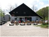
From Rudi's house, take the road in the direction of the Sotla spring (the road we took to get to the starting point). After about five minutes of descending on the asphalted road, you will notice signs pointing to the left to the footpath, which passes the local farm on the left.
The path then crosses a short scenic slope (overloking the surrounding hills), then goes into the forest, where it continues crossing the slopes. The path, which is a bit dangerous to slip on the short part, quickly leads us out of the forest to a slightly larger clearing, in the middle of which stands the Church of St Donatus.
From the church, follow the cart track towards the source of the Sotla River. Cart track, which continues gently descending along the edge of the grassy hay meadows, quickly leads to the next well-marked crossroads, where you continue left in the direction of the source of the Sotla River (straight down to Sveti Jurij).
Continue along the grassy cart track, which crosses the southern slopes of Donačka gora (watch out for snakes on hot days). A pleasant path, however, soon leads to the next crossroads, where we continue right down towards the source of the Sotla River (straight ahead Donačka gora) on the slightly more overgrown cart track, which emerges on a macadam road, which we follow to the left. Continue along the dirt road, which becomes asphalt a little further on and then starts to descend more steeply. After a short descent, the path leads to the Vrhe Pass (a pass between the municipalities Rogatec and Žetale), where it continues to the left.
After a few steps down the "main" road, at the very beginning of the village Čermožiše, the signs for the Sotla spring direct us to the right onto a macadam road, which we follow for only a few 10 metres. Here you will see the sign cart track, which turns right from the dirt road and starts to climb moderately through the forest. Continue the ascent along the well-marked cart track, which leads us higher up to the forest road, which we follow to the left, and which quickly leads us to the hunting lodge (Koserjeva koča).
Immediately after the cottage, leave the macadam road, as the markings direct us left on a footpath which begins to climb steeply through the dense forest. The path soon leads to the broad ridge of Maclja, where it lays down and then continues with a few short ascents and descents. When a fine view of Donačka gora opens up, we leave the ridge and continue slightly to the right, following cart track, which starts to descend. After a few minutes of descending, you reach the next crossroads, where you continue sharp left (slightly right Trlično and Lipovec). Continue ascending gently on the grassy cart track, and then the signs for the source of the Sotla River direct you to the right to a path which leads you down to the source within a minute of further walking.

Pictures:
 1
1 2
2 3
3 4
4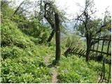 5
5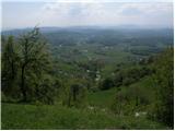 6
6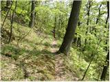 7
7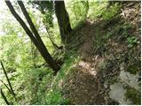 8
8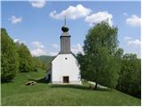 9
9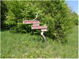 10
10 11
11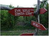 12
12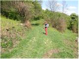 13
13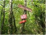 14
14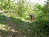 15
15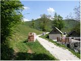 16
16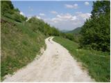 17
17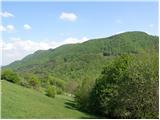 18
18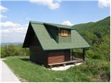 19
19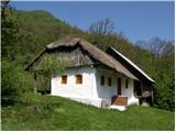 20
20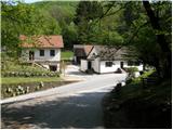 21
21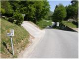 22
22 23
23 24
24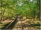 25
25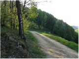 26
26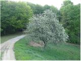 27
27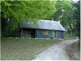 28
28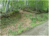 29
29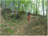 30
30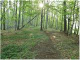 31
31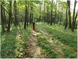 32
32 33
33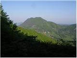 34
34 35
35 36
36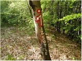 37
37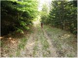 38
38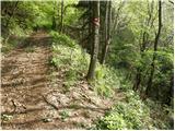 39
39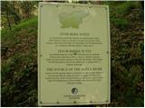 40
40 41
41
Discussion about the trail Rudijev dom na Donački gori - Source of Sotla
|
| anta130. 04. 2009 |
Kar se tiče poti ni zahtevna.Markacije so obnovljene,tako,da ni težav glede orjentacije.
|
|
|
|
| šerpa19. 12. 2009 |
Takole je bilo pa pred dvema dnevoma gori. Zimska idila, pa mrzlo kot hudič. Pa Sotla je presušila tako, da se ne ve kje zdaj teče meja :-))))
|
|
|
|
| šerpa19. 12. 2009 |
Upsss!!! Sem šele zdaj ugotovil, da se tukile ne da slikc prilepit. Škoda!
|
|
|
|
| bruny25. 11. 2012 |
Danes v nedeljo 25.11.2012 v sklopu daljše pohodniške aktivnosti med Poljčanami in Sv. Rokom ob Sotli s kolegom iz PD Poljčane tudi po tem delu poti. Do prelaza Vrhe razmere ugodne medtem ko v nadaljevanju vse do izvira reke Sotle veliko podrtega drevja in pot je bila kar zahtevna zaradi številnih obhodov. Oktobrski sneg je očitno v tem delu napravil največ škode na celotni trasi poti.
|
|
|
|
| buco653. 01. 2016 |
Obveščamo vse planince in pohodnike,da je pot od Rudijevega doma do izvira reke Sotle ponovno obnovljena.Popravljene so markacije in smerne table.
PD Sloga Rogatec
|
|
|