Starting point: Rudno polje (1347 m)
| Lat/Lon: | 46,3458°N 13,9236°E |
| |
Time of walking: 2 h
Difficulty: easy pathless terrain
Altitude difference: 632 m
Altitude difference po putu: 650 m
Map: Triglav 1:25.000
Recommended equipment (summer):
Recommended equipment (winter): ice axe, crampons
Views: 10.543
 | 2 people like this post |
Access to the starting point:
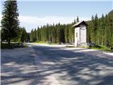
From the motorway Ljubljana - Jesenice take the exit Lesce and follow the road towards Bled. At the traffic lights in Bled, the signs for Pokljuka direct you to the right. Continue through Gorje and past the abandoned ski resort Zatrnik to Rudni Polje on Pokljuka (a large parking lot, a military barracks and a shooting range).
Path description:
From the parking lot, take the forest road (direction Triglav), which will take you up to the Viševnik ski slope in ten minutes. Here, signs lead you to the right (the Triglav trail continues along the road) onto a marked footpath which continues to climb moderately along the edge of the forest and along the lift of the nearby ski resort. Higher up, rejoin the road, but only cross it, as the signs for Viševnik direct you over a pasture fence onto a well-traced path that continues in the immediate vicinity of the ski lift. At the end of the lift, the path turns left into the lane of a forest and then joins another, slightly steeper lift. Continue under the lift for a while and then the trail switches to a ski slope which ascends to the top of the ski slope.
The path continues into a small valley, which, with flowers in bloom (this applies to spring and summer months), leads up to a dilapidated hunting observation tower.
Here, or even a few 10 m further on (there are two turnoffs), continue to the right, on a less visible path, which continues the ascent. Higher up, the path becomes more distinct and turns slightly to the right at first, then from the sparse forest into lane of dwarf pines and gradually turns to the left. After a while, Kačji rob is crossed and the path leads into the high mountains to the north-east of Viševnik. Continue westwards for a short distance and the scenic route quickly leads into a small grassy cirque, where it turns to the right. From cirque the path starts to climb steeply and leads us in a few minutes to a marked crossroads where the path to Srenjski preval and Viševnik branches off to the left, and we continue to the right in the direction of Blejska koča at Lipanca.
Follow the marked path towards Blejska koča for another 50 to 100 m, and then on the left side you will see a nice transition between dwarf pines (on the left you will see a smaller cairn). The ascent continues on an easier trackless path, but the transitions between dwarf pines are helped by finding the smaller cairns, which quickly lead to the ridge between Mali Draški vrh on the left and Draški rob on the right. Once on the ridge, continue to the right and climb along the ridge to the steep summit slope of the Dras Edge. Here you first climb over a short rock step and then over dwarf pines to the ridge of the Dras Edge. Here, continue left and follow dwarf pines to the 1979 m high summit, which offers a beautiful view of the Krma valley.

Pictures:
 1
1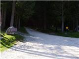 2
2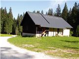 3
3 4
4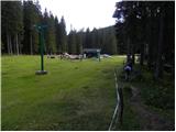 5
5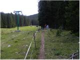 6
6 7
7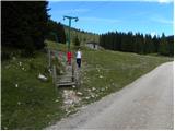 8
8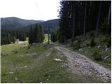 9
9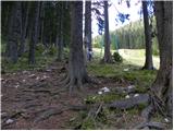 10
10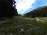 11
11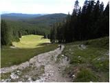 12
12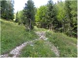 13
13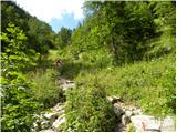 14
14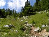 15
15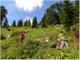 16
16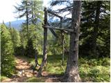 17
17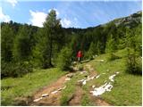 18
18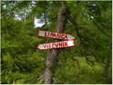 19
19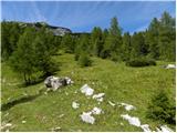 20
20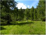 21
21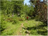 22
22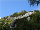 23
23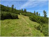 24
24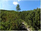 25
25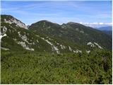 26
26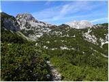 27
27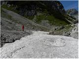 28
28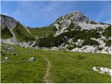 29
29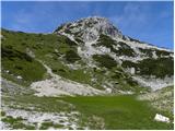 30
30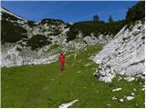 31
31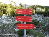 32
32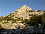 33
33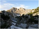 34
34 35
35 36
36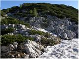 37
37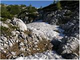 38
38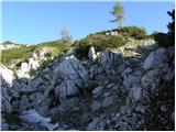 39
39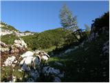 40
40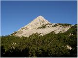 41
41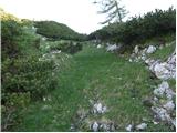 42
42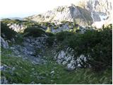 43
43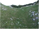 44
44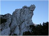 45
45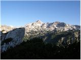 46
46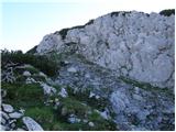 47
47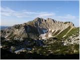 48
48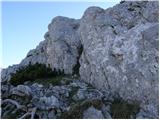 49
49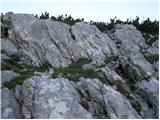 50
50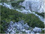 51
51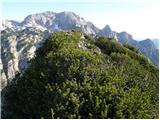 52
52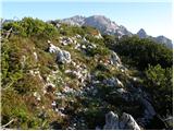 53
53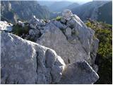 54
54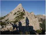 55
55
Discussion about the trail Rudno polje - Draški rob