Rudno polje - Veliki Draški vrh (via Kačji rob)
Starting point: Rudno polje (1347 m)
| Lat/Lon: | 46,3458°N 13,9236°E |
| |
Name of path: via Kačji rob
Time of walking: 3 h 30 min
Difficulty: difficult marked way, partly demanding unmarked way
Altitude difference: 896 m
Altitude difference po putu: 940 m
Map: Triglav 1:25.000
Recommended equipment (summer): helmet
Recommended equipment (winter): helmet, ice axe, crampons
Views: 42.269
 | 3 people like this post |
Access to the starting point:
From the motorway Ljubljana - Jesenice take the exit Lesce and follow the road towards Bled. At the traffic lights in Bled, the signs for Pokljuka direct you to the right. Continue through Gorje and past the abandoned ski resort Zatrnik to Rudni Polje on Pokljuka (a large parking lot, a military barracks and a shooting range).
Path description:
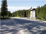
From the parking lot, take the forest road (direction Triglav), which will take you up to the Viševnik ski slope in ten minutes. Here, signs lead you to the right (the Triglav trail continues along the road) onto a marked footpath which continues to climb moderately along the edge of the forest and along the lift of the nearby ski resort. Higher up, rejoin the road, but only cross it, as the signs for Viševnik direct you over a pasture fence onto a well-traced path which continues in the immediate vicinity of the ski lift. At the end of the lift, the path turns left into the lane of a forest and then joins another, slightly steeper lift. Continue under the lift for a while and then the trail switches to a ski slope which ascends to the top of the ski slope.
The path continues into a small valley, which, with flowers in bloom (this applies to spring and summer months), leads up to a dilapidated hunting observation tower.
Here, or even a few 10 m further on (there are two turnoffs), continue to the right, on a less visible path, which continues the ascent. Higher up, the path becomes more distinct and turns slightly to the right at first, then from the sparse forest into lane of dwarf pines and gradually turns to the left. After a while, we cross Kačji rob and the path leads us into the high mountains north-east of Viševnik. Continue westwards for a short distance and the scenic route quickly leads to a small grassy cirque, where it turns to the right. From cirque the path starts to climb steeply and leads us within a few minutes to a marked crossroads where the path to Srenjski preval and Viševnik branches off to the left. Continue in the route mentioned above (right Lipanca) and continue the ascent along the path, which, in just over 10 minutes of cross-climbing, ascends the Srenjski Preval. Climb up the right side of the pass to the signposts below Mali Draškim vrh.
At the signposts, follow the 'Studorski preval' signs. The path descends gently at first, then becomes more difficult and crosses exposed slopes along the cable railway. When the fixed safety gear ends, the path starts to climb slightly and continues to cross steep slopes to the west. The path is not protected further on and therefore a little more caution is needed. When you reach the west side of Mali Draški vrh, you get a nice view towards Triglav. Here the slopes become less steep and there is a short descent to the saddle between the Big and Little Dražski Peak.
The marked trail turns left here, and we continue straight ahead on a less well-trodden path. Soon our path also turns slightly to the left, and then climbs up the eastern slopes of the Velika Draškega vrh. The trail is poorly visible in places, but the numerous cairns do not make orientation too difficult. The slope becomes slightly steeper for a short distance. In the last part of the ascent, the path leads to a grassy slope and then a final climb to the summit, which is reached from the east.

Pictures:
 1
1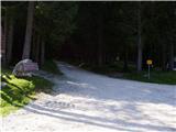 2
2 3
3 4
4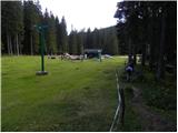 5
5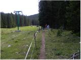 6
6 7
7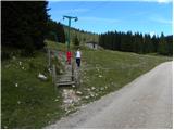 8
8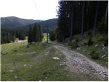 9
9 10
10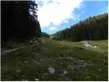 11
11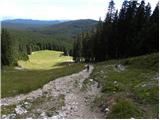 12
12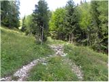 13
13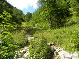 14
14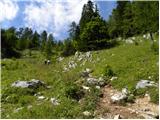 15
15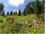 16
16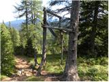 17
17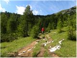 18
18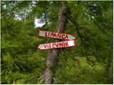 19
19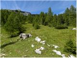 20
20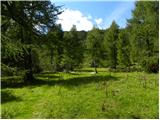 21
21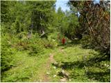 22
22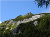 23
23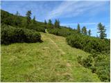 24
24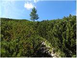 25
25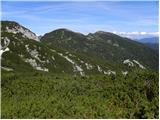 26
26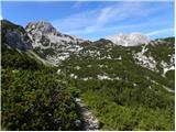 27
27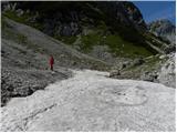 28
28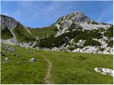 29
29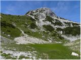 30
30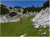 31
31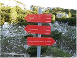 32
32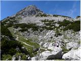 33
33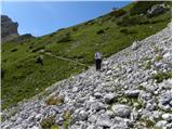 34
34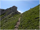 35
35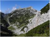 36
36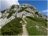 37
37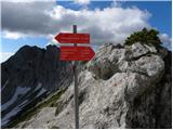 38
38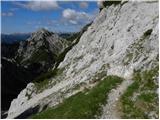 39
39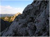 40
40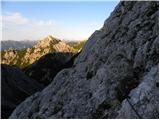 41
41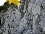 42
42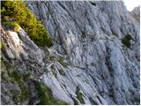 43
43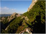 44
44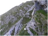 45
45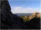 46
46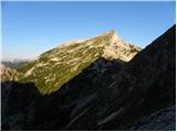 47
47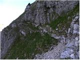 48
48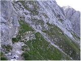 49
49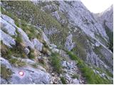 50
50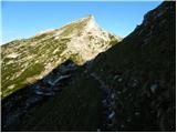 51
51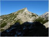 52
52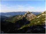 53
53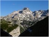 54
54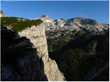 55
55 56
56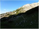 57
57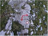 58
58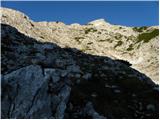 59
59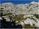 60
60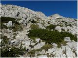 61
61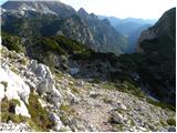 62
62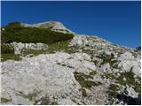 63
63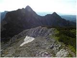 64
64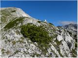 65
65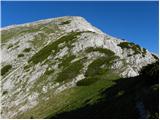 66
66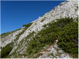 67
67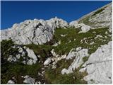 68
68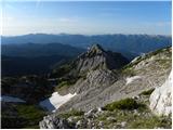 69
69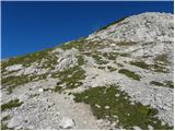 70
70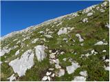 71
71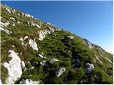 72
72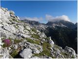 73
73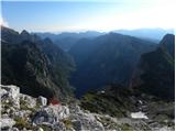 74
74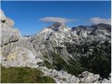 75
75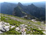 76
76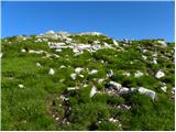 77
77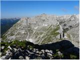 78
78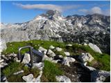 79
79
Discussion about the trail Rudno polje - Veliki Draški vrh (via Kačji rob)
|
| ruševec7. 09. 2011 |
Zanima me, koliko bi prišla časovnica konec ceste pri smučišču nad Rudnim poljem - Viševnik- Srenjski preval- Veliki Draški vrh? Se pravi ista pot kot je opisana, s tem da bi šel še čez Viševnik. Je to kake pol ure dlje? Je pot iz Srenjskega prevala proti Studorskemu res tako zelo izpostavljena in naporna? Priporočate raje sestop v Jezerca in potem gor? Hvala za odgovore.
|
|
|
|
| otiv8. 09. 2011 |
@ruševec Malo več pa že bo kakor pol ure preko Viševnika,še posebno če bo lep dan in boš užival na vrhu  Jaz sem hodil sicer v obratni smeri.Glede zahtevnosti poti pa ni problemov če si vajen varovanih poti,ki so izpostavljene.Ni sicer cela pot taka,le del poti od Srenjskega prevala proti Studorskemu prevalu. Lep pozdrav!
|
|
|
|
| ruševec11. 09. 2011 |
Prehodil sem omenjeno varianto v obratni smeri. Rudno polje- Studorski preval-Veliki Draški vrh- Srenjski preval- Viševnik- izhodišče. Vse skupaj prijeten izlet. Iz Velikega Draškega vrha do Viševnika le 1 uro in pol, sestop iz Viševnika le 1 uro. Zavarovani del poti in prečenje pa sploh ni tako nevarno kot sem pričakoval. Je sicer treba popazit in ni za vrtoglave, drugače pa bolj zahtevna kot zelo zahtevna pot. Bil je še en krasen dan v gorah.
|
|
|
|
| Hribolazec8110. 06. 2022 09:09:54 |
Kaksno je stanje po poti, se kaj snega itd?
|
|
|