Rudno polje - Veliki Selišnik (via Kačji rob)
Starting point: Rudno polje (1347 m)
| Lat/Lon: | 46,3458°N 13,9236°E |
| |
Name of path: via Kačji rob
Time of walking: 2 h 10 min
Difficulty: easy pathless terrain
Altitude difference: 605 m
Altitude difference po putu: 605 m
Map: TNP 1:50.000
Recommended equipment (summer):
Recommended equipment (winter): ice axe, crampons
Views: 13.641
 | 3 people like this post |
Access to the starting point:
From the motorway Ljubljana - Jesenice take the exit Lesce and follow the road towards Bled. At the traffic lights in Bled, the signs for Pokljuka direct you to the right. Continue through Gorje and past the abandoned ski resort Zatrnik to Rudni Polje on Pokljuka (a large parking lot, a military barracks and a shooting range).
Path description:
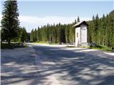
At the end of the parking lot, a macadam road branches off to the right with signposts for Triglav. Take this road, which climbs gently and after 10 minutes leads to the ski resort. Continue along the road from which the marked path to Triglav soon branches off to the left, and we continue along the road which crosses the ski resort at a slightly higher level. At this point, a marked path branches off to the left up to Viševnik, which we continue to climb. The path continues up along the ski slope to the next lift. Here the path turns left up along the second lift and soon leads to the top of the ski slope. The path continues up the slightly overgrown slope through the beautiful valley, which is full of flowers in summer. There is a steeper climb for a few minutes up to a dilapidated hunting observation tower. At this point, leave the path at Viševnik and turn right onto a faintly visible path that climbs gently upwards through a meadow. A little higher up, the track becomes more obvious and turns into dwarf pines. The path then crosses the side ridge Viševnik called Kačji rob and after this it enters the high mountains. A beautiful path with numerous karst phenomena then leads to a crossroads where you continue on the right path in the direction of Blejska koča na Lipanci (left Srenjski preval).
The path continues almost horizontally. At the point where the path starts to descend, leave the marked path.
Bear right and look for the most beautiful passage between dwarf pines, which will lead you to the ridge Veliki Selišnik, which you can see slightly to the right in front of you. When you reach the ridge, continue between the precipice on the left and dwarf pines on the right. In places where the passage over the precipice is to exposed, take the route between dwarf pines and continue in the same direction upwards. The climb between dwarf pines is not long and takes only a few minutes. After climbing lane of dwarf pines you reach an unbroken part of the route, where you head left up the ridge. Follow the ridge, which is slightly exposed and occasionally overgrown, to the top. The ridge has only a few short descents. The path takes about 20 minutes without travelling.
The path without climbing is a bit more difficult in terms of orientation, and I advise against climbing in fog. Watch out for snakes when climbing between the dwarf pines and the tall grasses.

Pictures:
 1
1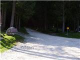 2
2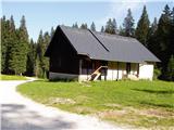 3
3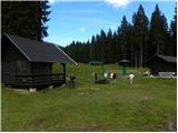 4
4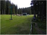 5
5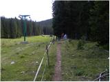 6
6 7
7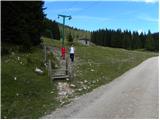 8
8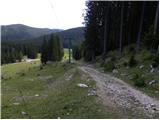 9
9 10
10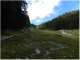 11
11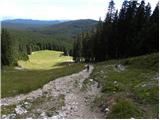 12
12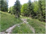 13
13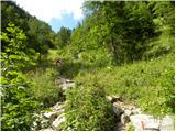 14
14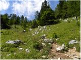 15
15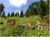 16
16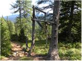 17
17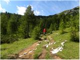 18
18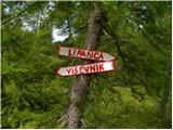 19
19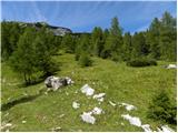 20
20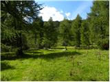 21
21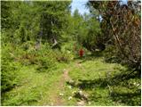 22
22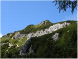 23
23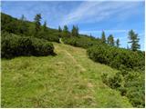 24
24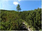 25
25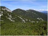 26
26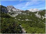 27
27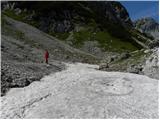 28
28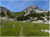 29
29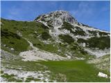 30
30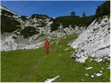 31
31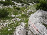 32
32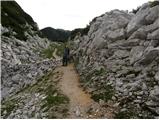 33
33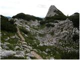 34
34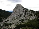 35
35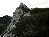 36
36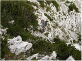 37
37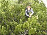 38
38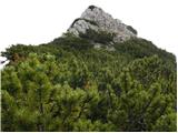 39
39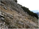 40
40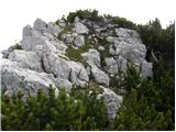 41
41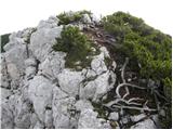 42
42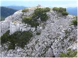 43
43
Discussion about the trail Rudno polje - Veliki Selišnik (via Kačji rob)
|
| zajko14. 10. 2013 |
Dne 13.10.13 smo se prvič povzpeli na ta vrh.Vreme čudovito,razgled enkraten,prava uživancija,Odcep od markirane poti proti Blejski koči ni težko najti.
|
|
|