Ruška koča na Arehu - Mali Šumik waterfall
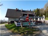
Starting point: Ruška koča na Arehu (1246 m)
| Lat/Lon: | 46,4956°N 15,5077°E |
| |
Time of walking: 2 h 15 min
Difficulty: difficult marked way
Altitude difference: -356 m
Altitude difference po putu: 100 m
Map: Pohorje 1:50.000
Recommended equipment (summer): helmet
Recommended equipment (winter): helmet, ice axe, crampons
Views: 222
 | 1 person likes this post |
Access to the starting point:
a) From the motorway Ljubljana - Maribor take the exit Rače - Fram, then follow the signs for Fram. Continue through the centre of Fram, then start climbing towards the settlements Kopivnik, Planica and Frajhajm, and higher up follow the signs for Areh. When you join the wider road, go left and continue following the signs for Areh. Park in the large parking lot near the Ruška hut on Areh.
b) Leave the Styrian motorway at the exit for Slivnica and Rogoza, then follow signs for Pohorje and Areh. The road continues through Spodnje and Zgornje Hoče, Slivnica Pohorje, and after the settlements follow the signs for Areh. Park in the large parking lot near the Ruška hut on Areh.
Path description:
From the parking lot near Ruška koča na Arehu, take the road in the direction of Žigartov vrh, Šumika and Cojzarice. After about 10 minutes of walking along the road through the forest, you will reach a marked crossroads, where you continue left towards Bajgot and the Šumik waterfall (straight ahead Žigartov vrh).
The way forward returns to the forest and leads us along a worse forest road, from which a path soon branches off to the left down to the source of the Polskava River (5 minutes), and we continue straight ahead. After a while, go slightly right off the minor road, onto cart track, which ascends the slopes of Žigartov vrh. Cart track quickly lays down and leads us to a marked crossroads, where a path leading through Žigartov vrh, slightly longer than ours, joins from the right.
Continue straight ahead and gradually descend through the forest, crossing another forest road at a lower level. We continue to follow the path, which ascends and descends a few times, mostly on dirt tracks, and at crossroads we follow the signs. After a slightly longer descent, you reach the NOB memorial, where you reach a dirt road.
Walk along the road for only a few 10 steps and the path splits.
Take the right path in the direction of Pesek (St. Three Kings on the left) and leave the road, crossing another road a little further on, while we continue straight ahead on a worse forest road, with markings along the way. There is a slight climb, then you pass a hunting observation post, and the road gradually turns into a track. A little further on, go slightly right with cart track, then start to descend crosswise. Lower down, cross the Areh - Osankarica road, and a little lower still, reach the Areh - Šumik road.
When you reach the Areh - Šumik road, go left and the marked path from St. Treh kraljev and Osankarica joins from the left. Continue along the road and quickly reach the starting point Bajgot na Šumik, where one of the paths to Rušam (the Holcarska trail through the valley Lobnica) branches off to the right.
Continue in the above-mentioned direction, along which there are also signs for the Mali and Veliki Šumik waterfalls (straight ahead - Šumik estate, Koča na Klopnem vrh. . . ).
The way ahead starts to descend gently along Lobnica, but soon we reach a warning that the path ahead is very steep and slippery. A little further on, cross the footbridge at Lobnica, then descend the right bank of Lobnica, gradually changing to steeper and steeper slopes. Further on, rungs and ropes help us in the more difficult places, and a little lower down, fixed safety gear is used to descend over a shorter wall. Below the wall, the slope is also quite steep and dangerous for slipping, but the descent is mainly without fixed safety gear.
A little lower still, we reach the place where the stamp is located, and we then descend along the protected path to the viewpoint of the Veliki Šumik waterfall.
From Veliki Šumik, we continue along the trail, which continues to descend along Lobnica on slopes that are steep in places. A little further on, cross the Verna stream with the help of a rope, which turns into several small waterfalls at high water level. Just a little further on, cross the river Lobnica via a small bridge. Just after the bridge, you will see the signs for the waterfall, which is 9 m high.
From the signboard you can see the waterfall from above, but if you want to see it from below, continue along the path, which first ascends and then descends to the crossroads of the path. Here we continue right down the steep path, which quickly leads us to the Lobnica riverbed, from which we have a view of the Mali Šumik waterfall.
Ruška koča na Arehu - Veliki Šumik waterfall 2:00, Veliki Šumik waterfall - Mali Šumik waterfall 0:15.

Pictures:
 1
1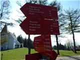 2
2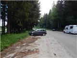 3
3 4
4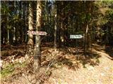 5
5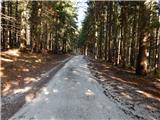 6
6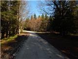 7
7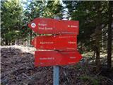 8
8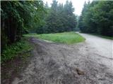 9
9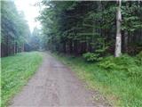 10
10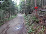 11
11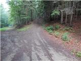 12
12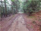 13
13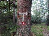 14
14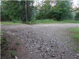 15
15 16
16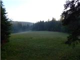 17
17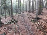 18
18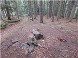 19
19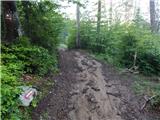 20
20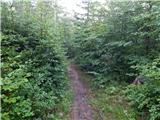 21
21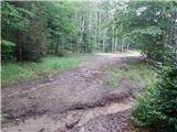 22
22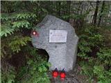 23
23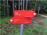 24
24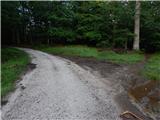 25
25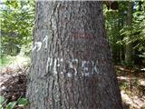 26
26 27
27 28
28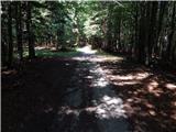 29
29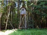 30
30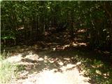 31
31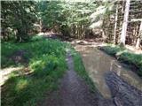 32
32 33
33 34
34 35
35 36
36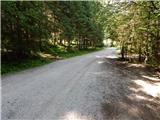 37
37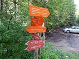 38
38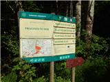 39
39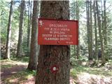 40
40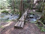 41
41 42
42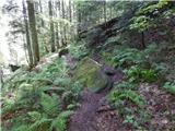 43
43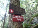 44
44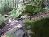 45
45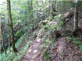 46
46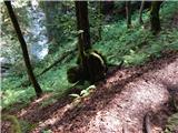 47
47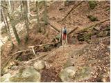 48
48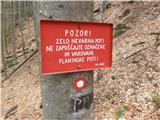 49
49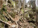 50
50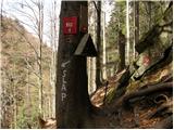 51
51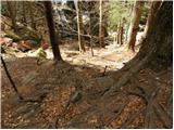 52
52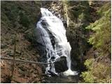 53
53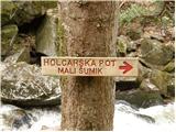 54
54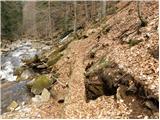 55
55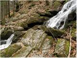 56
56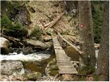 57
57 58
58 59
59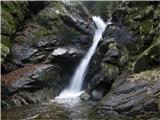 60
60
Discussion about the trail Ruška koča na Arehu - Mali Šumik waterfall