Ruška koča na Arehu - Sveti Trije kralji
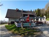
Starting point: Ruška koča na Arehu (1246 m)
| Lat/Lon: | 46,4956°N 15,5077°E |
| |
Time of walking: 2 h 55 min
Difficulty: easy marked way
Altitude difference: -65 m
Altitude difference po putu: 350 m
Map: Pohorje 1:50.000
Recommended equipment (summer):
Recommended equipment (winter): ice axe, crampons
Views: 862
 | 1 person likes this post |
Access to the starting point:
a) From the motorway Ljubljana - Maribor take the exit Rače - Fram, then follow the signs for Fram. Continue through the centre of Fram, then start climbing towards the settlements Kopivnik, Planica and Frajhajm, and higher up follow the signs for Areh. When you join the wider road, go left and continue following the signs for Areh. Park in the large parking lot near the Ruška hut on Areh.
b) Leave the Styrian motorway at the exit for Slivnica and Rogoza, then follow signs for Pohorje and Areh. The road continues through Spodnje and Zgornje Hoče, Slivnica Pohorje, and after the settlements follow the signs for Areh. Park in the large parking lot near the Ruška hut on Areh.
Path description:
From the parking lot near Ruška koča na Arehu, take the road in the direction of Žigartov vrh, Šumika and Cojzarice. After about 10 minutes of walking along the road through the forest, you will reach a marked crossroads, where you continue left towards Bajgot and the Šumik waterfall (straight ahead Žigartov vrh).
The way forward returns to the forest and leads us along a worse forest road, from which a path soon branches off to the left down to the source of the Polskava River (5 minutes), and we continue straight ahead. After a while, go slightly right off the minor road, onto cart track, which climbs transversely up the slopes of Žigartov vrh. Cart track quickly lays down and leads us to a marked crossroads, where a path leading through Žigartov vrh, slightly longer than ours, joins from the right.
Continue straight ahead and gradually descend through the forest, crossing another forest road at a lower level. We continue to follow the path, which ascends and descends a few times, mostly on dirt tracks, and at crossroads we follow the signs. After a slightly longer descent, you reach the NOB memorial, where you reach a dirt road.
Walk along the road for only a few 10 steps and the path splits.
The path to Šumik and Bajgot branches off to the right, and we continue along the road towards Sv. Trem kralji. A little further on we leave the road and continue on the marked path, where the markings are more sparse, so carefully follow the better-beaten path, which takes us lower to a wider macadam road, which we follow to the left. A little further on, go right and follow the markings again, and after a few minutes the track, which is a little more overgrown in parts, leads us to another road, where we go left, and at a junction a few steps away, we go right. There is a bit of a climb, then the road splits and we continue slightly left along the lower dirt track, which has a few more forks in it. At the crossroads follow the signs, and after crossing two small streams, leave the forest and go through an often overgrown meadow.
When the path returns to the forest, the marked path from the Jesen partisan hospital joins us on the left, and we continue straight ahead and continue crossing. Then we reach one of the forest roads again and follow it to the right, and a little further on we turn left onto a track, which quickly leads us to Majstrov's house.
From Majstro's house, follow the macadam road down to the asphalt road, and when you reach it, turn right in the direction of Sv. Treh kraljev.
After a moderate climb of about half an hour on the asphalt road, you will arrive at St. Three Kings.
The description refers to the situation in June 2022 and the pictures are from May 2022 and June 2022.

Pictures:
 1
1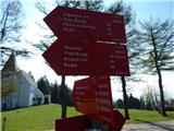 2
2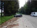 3
3 4
4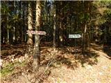 5
5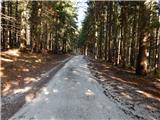 6
6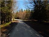 7
7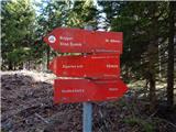 8
8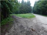 9
9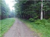 10
10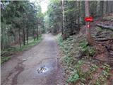 11
11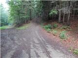 12
12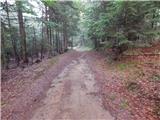 13
13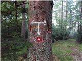 14
14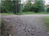 15
15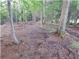 16
16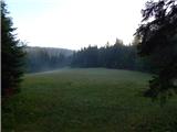 17
17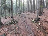 18
18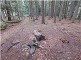 19
19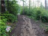 20
20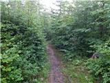 21
21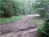 22
22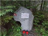 23
23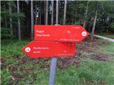 24
24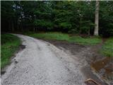 25
25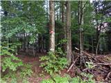 26
26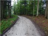 27
27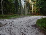 28
28 29
29 30
30 31
31 32
32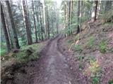 33
33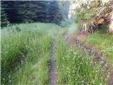 34
34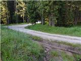 35
35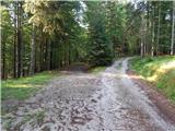 36
36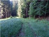 37
37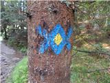 38
38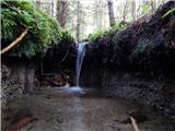 39
39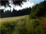 40
40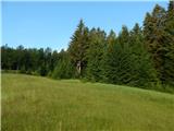 41
41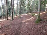 42
42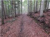 43
43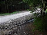 44
44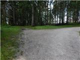 45
45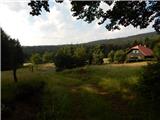 46
46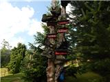 47
47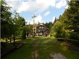 48
48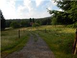 49
49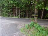 50
50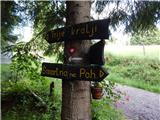 51
51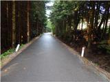 52
52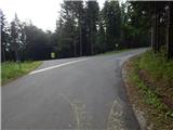 53
53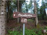 54
54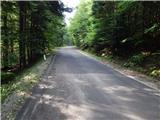 55
55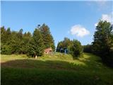 56
56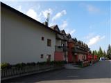 57
57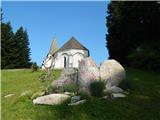 58
58
Discussion about the trail Ruška koča na Arehu - Sveti Trije kralji