Ruski križ - Bivak v Veliki Dnini
Starting point: Ruski križ (1000 m)
| Lat/Lon: | 46,4444°N 13,7746°E |
| |
Time of walking: 3 h 45 min
Difficulty: difficult pathless terrain
Altitude difference: 1180 m
Altitude difference po putu: 1250 m
Map: TNP 1:50.000
Recommended equipment (summer): helmet
Recommended equipment (winter): helmet, ice axe, crampons
Views: 2.330
 | 9 people like this post |
Access to the starting point:
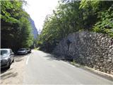
Take the Kranjska Gora, where you continue driving to the left in the direction of Vršič or Bovec. Just before the 3rd serpentine of the Ruska or Vršiška cesta, you will notice a small parking lot along the road, where you park. On the opposite side of the road from the parking lot you can see a cross, and a few metres further on the left a forest road branch and mountain signs for the Koča v Cirque. You can also go down the worse macadam road towards Suha Pišnica where there is also a slightly larger parking area. There are also a few car parks a little further along the main road between the 4th serpentine and Mihov's home.
The starting point can also be reached from the coastal side via the Vršič Pass.
Path description:
Take the worse macadam road, which immediately begins a moderate descent through the forest. A path soon branches off to the right, leading towards Mihov's home and on to Vršič. We continue along the descending road and after a few minutes it leads us to a parking lot near the dry Pišnica riverbed. There is also drinking water at the parking lot. We continue to the right past the parking lot and then continue along the road, which is closed to public traffic.
The road here first crosses the Suha Pišnica stream and then turns slightly left, leading out of the forest onto the vast grassy slopes of the mountain pasture in Klin, where you will see a secluded hut on the right and the small memorial park of Mali Tamar on the left. The path ahead is completely laid out and then joins the forest road coming from the former Hotel Erika or the bridge over the Velika Pišnica. Continue right here, and you will soon reach a crossroads where the footpath to the right branches off towards the Cottage in Cirque. Turn right onto the above-mentioned path, which leads us further on in an easy ascent through the forest, most of it pleasantly soft, only here and there a little rockier. Shortly before the hut, we rejoin the macadam road and there is only a short walk to the hut.
From the hut, head left in the direction of Špik (straight Kriška stena) and walk for a short distance along a gentle path through the forest. The path then crosses two small torrent channels, and at the next wider channel the path turns slightly to the right and continues to climb along the riverbed for some time. Here we mostly climb through dwarf pines, and from the path we have a nice view especially towards Prisank and Razor. Higher up, the path crosses the riverbed to the left and climbs a steeper slope. When dwarf pines starts to become a little thinner the marked path turns to the left, and along the way you will see a large rock with the inscription "Špik 3h".
Leave the marked path towards Špik here and continue straight on parallel to the stream. Along the way you will also see some cairns. Continue slightly to the left of the stream for a while, where you can also see a slightly less well-trodden path. As the slope above the riverbed is somewhat washed out in places, some caution is needed. From this path, you will soon descend to the right into the ravine of the torrent, along which you will continue your ascent. Continue following the torrent bed for some time and climb over numerous rocks and boulders. Higher up, our path turns sharply to the right and leads us out of the ravine along a faintly visible path. To help us, we can also see the highly visible cairn, which is located right above the ravine. Some caution is also needed when crossing the path, as there is quite a bit of quicksand on the way.
From the ravine, continue on more vegetated terrain and cross lane with a few more larch trees, then the path turns left and starts to climb steeply through dwarf pines. You will also see some old markings along the way. Higher up, dwarf pines becomes less frequent and the trail turns slightly to the left and leads to the scree below the Škrlatice wall. There follows a rather strenuous and steep ascent along a path that runs along the scree. The steepness eases a little and the bivouac can already be seen below the slopes of Visoka Ponca. Soon we reach a less visible crossroads where we turn left towards the bivouac, and straight ahead the track leads towards the valley headland and on to Visoko Ponca.
Again, we climb a little steeper and soon reach a ledge secured by a rope leading to the bivouac. We orientate ourselves on the aforementioned ledge and after a short crossing, there are a few metres of slightly more difficult ascent along the steel cable, which leads us to the bivouac.

Pictures:
 1
1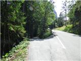 2
2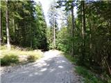 3
3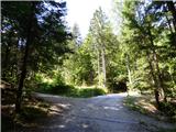 4
4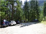 5
5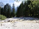 6
6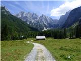 7
7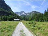 8
8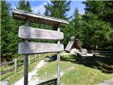 9
9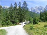 10
10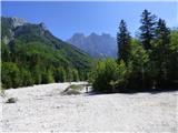 11
11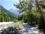 12
12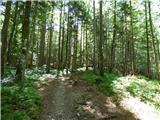 13
13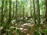 14
14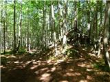 15
15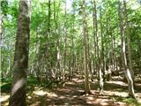 16
16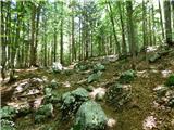 17
17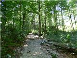 18
18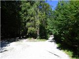 19
19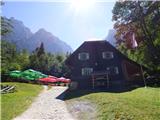 20
20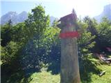 21
21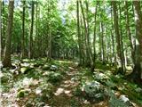 22
22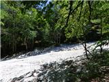 23
23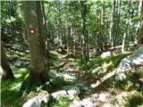 24
24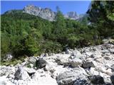 25
25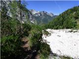 26
26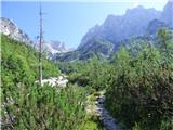 27
27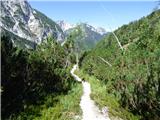 28
28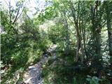 29
29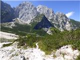 30
30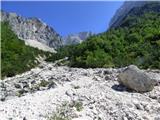 31
31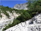 32
32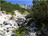 33
33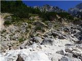 34
34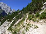 35
35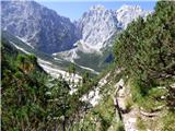 36
36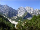 37
37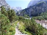 38
38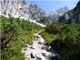 39
39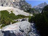 40
40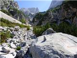 41
41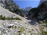 42
42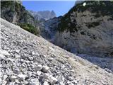 43
43 44
44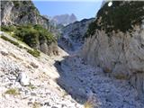 45
45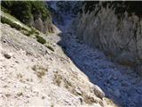 46
46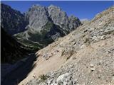 47
47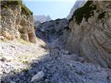 48
48 49
49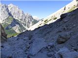 50
50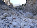 51
51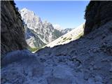 52
52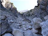 53
53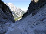 54
54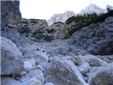 55
55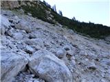 56
56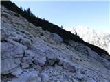 57
57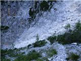 58
58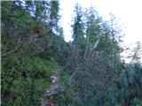 59
59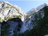 60
60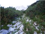 61
61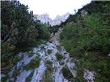 62
62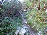 63
63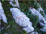 64
64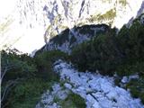 65
65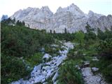 66
66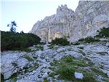 67
67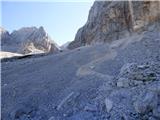 68
68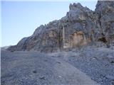 69
69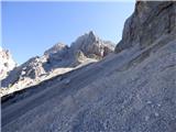 70
70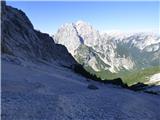 71
71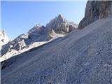 72
72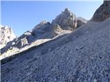 73
73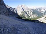 74
74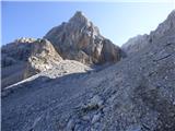 75
75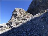 76
76 77
77 78
78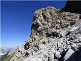 79
79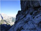 80
80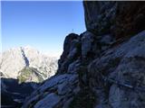 81
81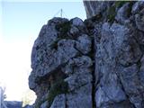 82
82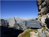 83
83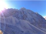 84
84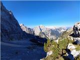 85
85 86
86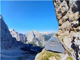 87
87
Discussion about the trail Ruski križ - Bivak v Veliki Dnini
|
| ločanka26. 08. 2022 09:13:09 |
Dober opis in tudi slike!
|
|
|
|
| dprapr27. 08. 2022 12:48:23 |
Bivak za štiri osebe? Največ tri. 
|
|
|