Starting point: Šalamenci (225 m)
| Lat/Lon: | 46,72765°N 16,12914°E |
| |
Time of walking: 45 min
Difficulty: easy unmarked way
Altitude difference: 97 m
Altitude difference po putu: 97 m
Map: Pomurje 1:40.000
Recommended equipment (summer):
Recommended equipment (winter):
Views: 258
 | 1 person likes this post |
Access to the starting point:
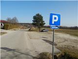
Leave the Pomurje motorway at exit Murska Sobota, then follow signs for Murska Sobota first, then Murska Sobota East. From the roundabout between Lidl and Hofer, continue in the direction of Markišavci and Puconciv. After Markišavci cross the railway line (do not turn right into Puconce), then turn right towards Šalamenice. At Šalamenci go left and follow the road to the marked parking area next to the cemetery in Šalamenice.
Path description:
From the parking lot, continue along the main road as it continues westwards, but when you reach Bodonci the road turns more to the north-west. After about 20 minutes, with views of fields and nearby houses and hills, you reach a point where you leave the wider tarmac road and continue to the right (passing the house with house number Bodonci 113 on the right) onto a narrower tarmac road which begins to climb gently along the edge of the wood. A little further on, turn slightly left off the road onto the wider cart track, or initially still dirt road, which begins to climb more steeply at the nearby vineyard. The road climbs higher and from the upper part of the vineyard a beautiful view opens up towards the flat part of Prekmurje.
Only a few 10 steps further on, the path returns to the forest and leads us in an easy climb to the hunting observatory on Griškem vrh.
Description and pictures refer to the situation in February 2021.
Pictures:
 1
1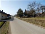 2
2 3
3 4
4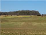 5
5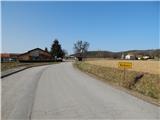 6
6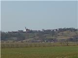 7
7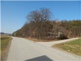 8
8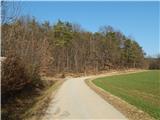 9
9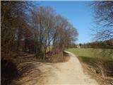 10
10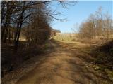 11
11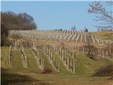 12
12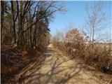 13
13 14
14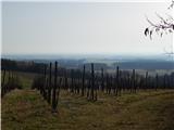 15
15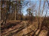 16
16 17
17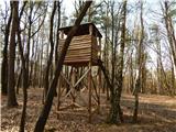 18
18
Discussion about the trail Šalamenci - Griški vrh