Savica - Kamin Široka polica (Ferata Kamin Široka polica)
Starting point: Savica (508 m)
| Lat/Lon: | 46,27501°N 13,92287°E |
| |
Name of path: Ferata Kamin Široka polica
Time of walking: 1 h 40 min
Difficulty: extremely difficult marked way
Ferata: D/E
Altitude difference: 272 m
Altitude difference po putu: 272 m
Map: TNP 1:50.000
Recommended equipment (summer): helmet, self belay set
Recommended equipment (winter): helmet, self belay set, ice axe, crampons
Views: 5.000
 | 3 people like this post |
Access to the starting point:
From the motorway Ljubljana - Jesenica take the exit Lesce and follow the road towards Bled and Bohinjska Bistrica. In Bohinjska Bistrica, continue driving towards Lake Bohinj. When you reach Savica, turn right after the bus station onto a narrow asphalt road. Continue driving through the village and cross the Sava Bohinjka over a bridge. Just after the bridge, turn left and park in a small parking lot.
Path description:
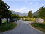
From the parking lot, continue along the asphalt cycle path parallel to the Sava Bohinjka. After about 500 metres, leave the cycle path and turn right onto cart track.
Cart track leads quickly into the forest where there is a small crossroads. To the left, cart track leads to a clearing, and we continue to the right where, after a few metres, we come to the crossroads again. Here we also see the first markings.
An arrow on a tree points to the left and there is a slightly steeper climb up the rough cart track. A little higher up, cart track turns to the right, and an arrow on the tree directs us left on a slightly overgrown path. Continue through the forest where the path is mostly invisible, but red markers on trees or rocks are helpful. You then emerge from the forest onto a scree slope where the path is again slightly more visible. Here, continue left and cross the scree on the ascent. The path then turns to the right and leads to the entrance to the protected climbing route.
Before entering, be sure to equip yourself with a self-protection kit and a helmet. Gloves are highly recommended due to the slightly narrower rope.
In the first part of the protected route, climb on a slope with a lot of earth and grass (difficulty C/D). In the less difficult parts, the sections of the rappel are a bit longer than usual on protected routes. Higher up, the path turns slightly to the right and leads to chimney. Here the climbing becomes more difficult and the use of climbing shoes and an umbilical cord for resting is recommended.
The ascent of chimney or the col reaches difficulty D/E.
It is advisable to use a little more natural holds and steps in this section, as the belay is set up so that it is mainly for belaying.
The difficulty then starts to ease and the path, which again has some more grass and small branches, leads to the end of the protected route.
Descend the poorly trodden path, which is marked with red dots and later joins the path leading to Rudnica. Follow the path to the right and you will soon come to a larger clearing where there is a marked crossroads.
Descend to the right towards the village of Brod. When you reach the village, continue right along the cycle path back to the starting point.
The trail described is of difficulty level D/E and is suitable only for experienced mountaineers with sufficient strength in their arms. Some additional difficulties may be caused by the steel cable, which is a bit thinner than usual on such difficult routes. The ropes are attached to drill bits and not to the usual rope pegs seen on most other protected routes. The climbing part of the route is on the southern slopes, which are very hot in the summer months.

Pictures:
 1
1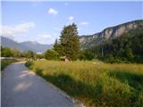 2
2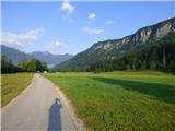 3
3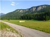 4
4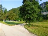 5
5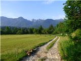 6
6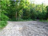 7
7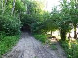 8
8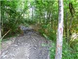 9
9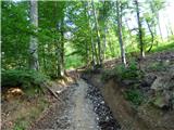 10
10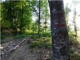 11
11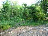 12
12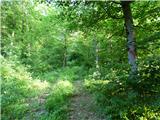 13
13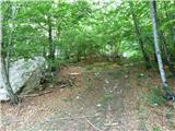 14
14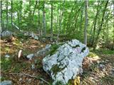 15
15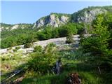 16
16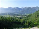 17
17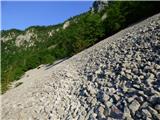 18
18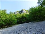 19
19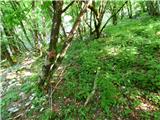 20
20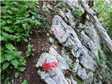 21
21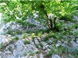 22
22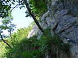 23
23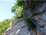 24
24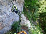 25
25 26
26 27
27 28
28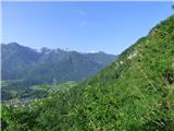 29
29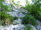 30
30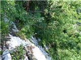 31
31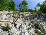 32
32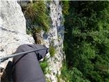 33
33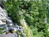 34
34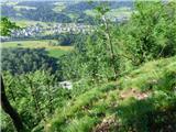 35
35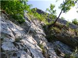 36
36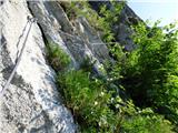 37
37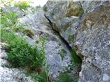 38
38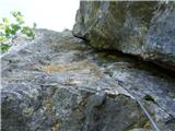 39
39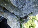 40
40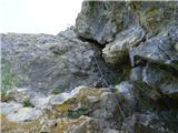 41
41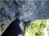 42
42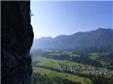 43
43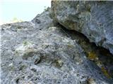 44
44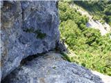 45
45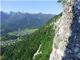 46
46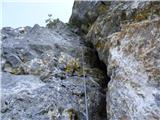 47
47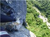 48
48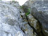 49
49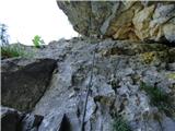 50
50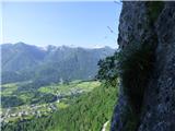 51
51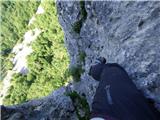 52
52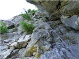 53
53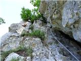 54
54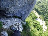 55
55 56
56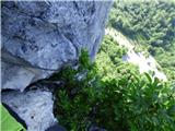 57
57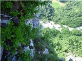 58
58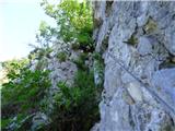 59
59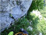 60
60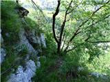 61
61 62
62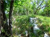 63
63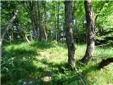 64
64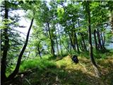 65
65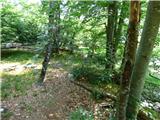 66
66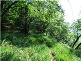 67
67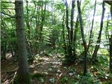 68
68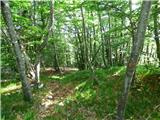 69
69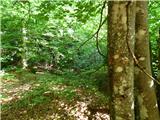 70
70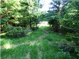 71
71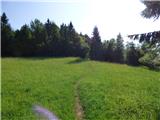 72
72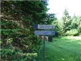 73
73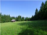 74
74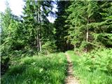 75
75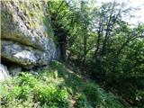 76
76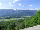 77
77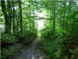 78
78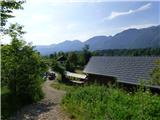 79
79 80
80 81
81 82
82
Discussion about the trail Savica - Kamin Široka polica (Ferata Kamin Široka polica)
|
| matp10. 08. 2021 22:38:32 |
Planinsko zvezo bi prosil za ureditev dostopa do ferate. Verjamem da nisem edini ki sem se izgubil pri iskanju ferate. Navsezadnje jo našel, zanimiva  zadovoljen.
|
|
|
|
| megla11. 08. 2021 09:59:46 |
Kva pa ma Planinska zveza kle zraven?
|
|
|
|
| VanSims11. 08. 2021 14:07:47 |
Mislim, da tako (ne)urejen dostop ni tako napačen oz. je neurejen celo namenoma. To ni še ena slovenska posebnost, temveč se velikokrat pojavlja tudi v tujini. Še psebej v obiskanih turističnih ktajih, to pa Bohinj pri nas je.
Namen je pač ta, da je ne more najti vsak neuki turist oz,. pohodnik, reševalcem pa se tako prihrani marsikatero reševanje. Tisti pa, ki ve po kaj je prišel, se mora pač malo potruditi.
|
|
|
|
| don kihott26. 08. 2021 00:39:54 |
Najprej naj se ferata naredi tko kot je treba po vseh standardih in predpisih,če pa pri nas ne obstajajo pa se naj nadobudni graditelji zgledujejo po naprednejših državah v tej panogi (Austrija,Švica,Francija itd...)..Tudi v tej steni je le vprašanje časa kdaj se bo ponovila zgodba iz druge strani Bohinskega jezera 
|
|
|
|
| gams127. 08. 2021 07:38:52 |
 nekako takole: ferato v vsako slovensko vas, ...in rastejo kot gobe po dežju, nekatere so užitne, druge pač ne ... 
|
|
|
|
| DarkoLR8. 09. 2021 15:51:39 |
Gams1. Eh, no! "ferato v vsako slovensko vas, ...in rastejo kot gobe po dežju" TO SPLOH NE DRŽI. Le primerno vzdževane bi morale biti. Škoda je, da občine ne pristopijo k tovrstnim projektom in podprejo izdelavo ferat, kjer je to možno, z kakšnimi natečaji oz. razpisi, Sem prepričan da bi se našlo interesentov. Podobno kot pri sosedih.Saj je to del turistične ponudbe. Marsikatere gorenjske občine ignorirajo ferate, kot del "zelenega turizma". Kranjska Gora je izjema a Bohinj in Bovec sta veliki temni lisi feratarskih zemljevidov. Tako da NE govori neumnosti!
|
|
|