Seichenbrunn - Wangenitzseehütte
Starting point: Seichenbrunn (1668 m)
| Lat/Lon: | 46,91536°N 12,77544°E |
| |
Time of walking: 2 h 30 min
Difficulty: easy marked way
Altitude difference: 840 m
Altitude difference po putu: 910 m
Map:
Recommended equipment (summer):
Recommended equipment (winter): ice axe, crampons
Views: 3.460
 | 4 people like this post |
Access to the starting point:
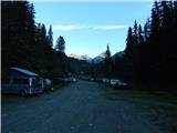
Drive through the Karavanke Tunnel into Austria, then continue to Spittal and on to Lienz (the motorway ends a little after Spittal). We continue along a relatively nice and wide road through the Drava Valley. Shortly before Lienz, at a roundabout, turn right towards Iselsberg and Winklern. The road starts to climb, but then you have to be careful, because soon the road to the Debanttal valley (green sign) branches off to the left. The road to the Debanttal valley becomes a dirt road, and then joins the slightly nicer road from Nußdorf-Debant. Then, driving through the Debanttal valley, follow the signs for hut Lienzer Hütte and Wangenitzseehütte. Follow the road all the way to the lock where you park in a large parking lot (Parkplatz Seichenbrunn).
Path description:
From the parking lot, continue along the macadam road, which is closed to traffic. After a few dozen metres you will reach a marked crossroads where you continue right over a bridge after the "Wangenitzseehütte" signs. Straight ahead on the dirt road leads to the Linzer Hütte hut.
Our path then turns right and climbs over a grassy slope and leads us into the forest. We then walk along a wide path heading east for a while before signs point us left and the path starts to climb steeply. The path here is mainly on grassy slopes with increasingly sparse forest. Higher up, you then cross a fence and the path leads you to mountain pasture where cattle graze in the summer months.
The path becomes more level here and crosses the grassy slopes below the funicular to the north-west. From the path there are fine views, especially of the mountains above the Debanttal valley. The path with mountain pasture then turns slightly to the right and starts climbing steeply again, leading to a marked crossroads.
The path to the left leads to the Linzer Hütte, and we continue to the right towards the Wangenitzseehütte. From the crossroads, the path then crosses the slightly steeper slopes below the Feldkopf peak to the east, followed by another slightly steeper climb to the Untere Seescharte.
At the notch, where the view to the east opens up, the path descends gently and leads past the high mountain lakes Kreuzsee and Wangenitzsee to the Wangenitzseehütte hut.

Pictures:
 1
1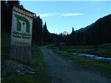 2
2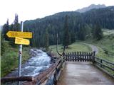 3
3 4
4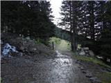 5
5 6
6 7
7 8
8 9
9 10
10 11
11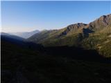 12
12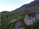 13
13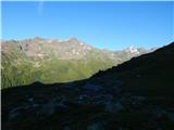 14
14 15
15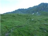 16
16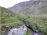 17
17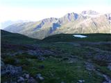 18
18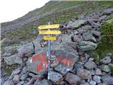 19
19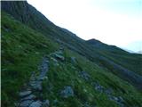 20
20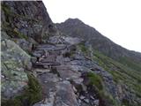 21
21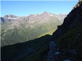 22
22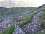 23
23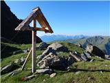 24
24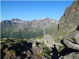 25
25 26
26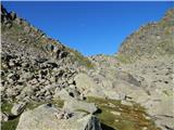 27
27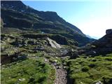 28
28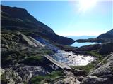 29
29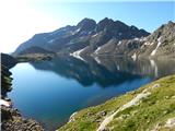 30
30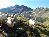 31
31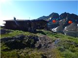 32
32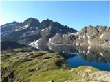 33
33
Discussion about the trail Seichenbrunn - Wangenitzseehütte
|
| Robie18. 08. 2023 12:39:25 |
Priporočam pot preko kraja Nußdorf-Debant bistveno boljša asfaltirana cesta (v spodnjem delu) kot ta opisana. Malo pa zmoti, da če želiš v kočo oziroma na teraso, pustiti palice in nahrbtnik zunaj ali v sobi za opremo...
|
|
|