Selca - Miklavška gora (footpath)
Starting point: Selca (430 m)
| Lat/Lon: | 46,222°N 14,1934°E |
| |
Name of path: footpath
Time of walking: 1 h 25 min
Difficulty: easy marked way
Altitude difference: 525 m
Altitude difference po putu: 525 m
Map: Škofjeloško in Cerkljansko hribovje 1:50.000
Recommended equipment (summer):
Recommended equipment (winter): ice axe, crampons
Views: 11.336
 | 3 people like this post |
Access to the starting point:
From Škofja Loka, drive to Železniki or vice versa. Only about 500m after (or before, if coming from Železniki) the village Selca, you will see a sign with the inscription Sports Park Rovn, which directs you to the left (from Železniki to the right). Park in the parking lot near the sports park.
Path description:
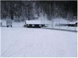
From the parking lot, first walk to the cottage of the Cynological Society (located on the left - east side of the park). Here you will see a steep cart track heading sharply right upwards. After a few steps up, you will see the first green-yellow marking. cart track then climbs crosswise and leads us higher to a crossroads where we continue on the right marked but slightly worse cart track. For some time the well-marked path then leads us past some smaller crossroads and leads us slightly higher to a larger clearing which the path bypasses on the left. The path then crosses a short lane of forest behind which we enter the next grassy slope along which we climb to the saddle between Zavrnik (762m) on the left and Miklavška gora on the right.
At the saddle, the path turns right and climbs steeply through the dense forest. Higher up, the path crosses cart track (porly marked) and then continues to climb steeply. The steepness of the path eases only at the converter, where you also leave the forest. There is only a 5 minute climb up the increasingly scenic slope to the top of Miklavška Gora.

Pictures:
 1
1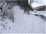 2
2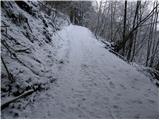 3
3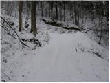 4
4 5
5 6
6 7
7 8
8 9
9 10
10 11
11 12
12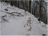 13
13 14
14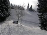 15
15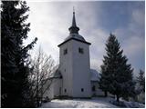 16
16
Discussion about the trail Selca - Miklavška gora (footpath)
|
| firekate9. 02. 2011 |
na nekaterih predelih je pot slabo označena, se moraš malo znajti
|
|
|
|
| Lj26. 02. 2011 |
Danes prehodili zelo lep krog po trasi Lovske poti na Miklavško goro (ena od tematskih poti na Loškem, zelo uporaben zemljevid sem dobila na TD Radovljica). Vzpon po zgoraj opisani poti, spust na drugo stran v Zg. Golico, nekaj časa po cesti do velikega kozolca nad Sp. Golico, označen odcep desno za Dolenjo vas. Prijetna steza do Dolenje vasi, tam sva zgrešili kolovoz ob Selški Sori nazaj do izhodišča. Sva šli kar po cesti, slabe 3 km. Skupaj pribl. 4 prijetne ure. 
|
|
|
|
| nevica31. 03. 2020 |
v miru in tišini  na dan 28.3.2020
|
|
|