Sella di Razzo - Bivera (via 210 & 212)
Starting point: Sella di Razzo (1730 m)
| Lat/Lon: | 46,47933°N 12,60982°E |
| |
Name of path: via 210 & 212
Time of walking: 3 h
Difficulty: partly demanding marked way
Altitude difference: 744 m
Altitude difference po putu: 810 m
Map:
Recommended equipment (summer):
Recommended equipment (winter):
Views: 755
 | 2 people like this post |
Access to the starting point:
Drive to Tolmezzo, then to Villa Santina, and Ovaro. After Ovaro take left to the valley Val Pesarina. At the end of Val Pesarina keep right, i.e. direction for Lazzo di Cadore, but only until the mountain pass Sella di Razzo.
Sella di Razzo can be reached also via Sauris (in Villa Santina turn left for Ampezzo, in Appezzo follow signs for Sauris, and then for Sella di Razzo).
From the Dolomites side drive to Lazzo di Cadore, and there turn in direction to Sella di Razzo.
Path description:
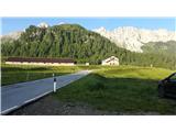
Take a 4 km long stroll via descending mountain road to Casera Chiansaveit. The road is paved with concete only at some steeper parts. You will pass several mountani streams, and at least three locations with several bee hives.
Follow the path no. 212 and pass Casera Chiansaveit by its left side. The path leads into the forest, which soon ends with altitude. The hike gets more strenuous when the gravel slopes meet the path (about 200 meters of altitude below the saddle Forcella del Bivera).
At the saddle Forcella del Bivera turn left in direction to Monte Bivera. The direction is easy to follow, if the weather allows it, even though the markings are scarce from here on, and the difficulty to the top is partly demanding.
Pictures:
 1
1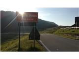 2
2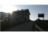 3
3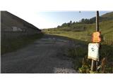 4
4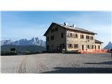 5
5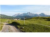 6
6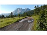 7
7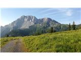 8
8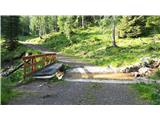 9
9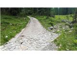 10
10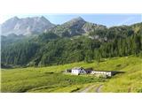 11
11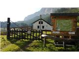 12
12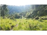 13
13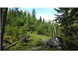 14
14 15
15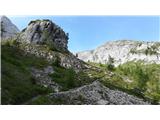 16
16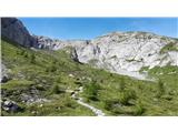 17
17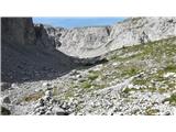 18
18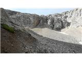 19
19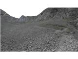 20
20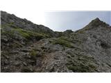 21
21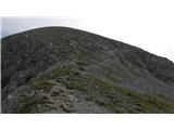 22
22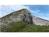 23
23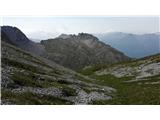 24
24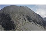 25
25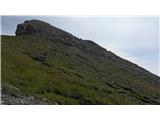 26
26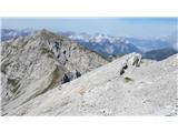 27
27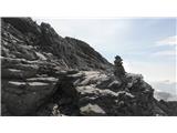 28
28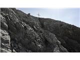 29
29 30
30 31
31 32
32 33
33 34
34
Discussion about the trail Sella di Razzo - Bivera (via 210 & 212)