Sella Nevea - Prestreljenik (via 636)
Starting point: Sella Nevea (1170 m)
| Lat/Lon: | 46,3874°N 13,4734°E |
| |
Name of path: via 636
Time of walking: 3 h 45 min
Difficulty: difficult marked way
Altitude difference: 1329 m
Altitude difference po putu: 1350 m
Map: Julijske Alpe - zahodni del 1:50.000
Recommended equipment (summer): helmet
Recommended equipment (winter): helmet, ice axe, crampons
Views: 15.744
 | 1 person likes this post |
Access to the starting point:
a) First, we drive to Kranjska Gora, then we continue our journey via Border crossing Rateče to Itali. Drive towards Trbiž / Tarvisio, then turn left at the beginning of the town in the direction of Bovec. Continue along the regional road towards Border crossing Predel, and follow the main road to the crossroads near Lake Rabeljsko / Lago del Predil. Here we continue to the right in the direction of the Neveje Pass (V Žlebeh) / Sella Nevea and follow the asphalt road to the aforementioned pass. Park in the large parking lot at the bottom station of the circular cable car leading to the Rifugio Gilberti hut.
b) First drive to Bovec and then continue to Border crossing Predel, via which you will enter Itali. We then descend to Lake Rabel, after which we leave the main road leading to Trbiz and continue driving to the left towards the Nevejski Pass (V Žlebeh). The road then starts to climb again and we follow it to the aforementioned pass. Park in the large parking lot at the bottom station of the circular cable car leading to the Rifugio Gilberti hut.
Path description:
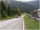
From the parking lot, follow the narrow asphalted road that leads to the Hotel Nevea. After about 100 metres of walking, you will reach a signpost for route No 636, which directs you to the left across a meadow onto a marked footpath. The path soon leads into the wods, through which you continue to climb along an old military causeway. Higher up, the forest becomes more sparse, and the path leads us to the ruins of the Poviz barracks, with increasingly frequent fine views.
The path continues to climb for some time, then leads to a marked crossroads, where we continue to the left in the direction of the Prevala saddle (to the right, the Rifugio Gilberti hut).
The way forward is slightly smother and becomes more and more scenic. Just a little further on, we come to the next crossroads. This time continue right towards the Prevala saddle (straight ahead saddle Vrh Laških brežičev / Sella Robon) along a path that begins to climb moderately. A wide and well-preserved old military trail quickly leads us into a rockier world, where it begins to turn slightly more to the right. Higher up, the path leads to the scree of Lope, where the path climbs slightly more steeply. A little further on, the marked path comes quite close to the top station of the pendulum, the cable car linking the Slovenian and Italian sides of the ski slope. Here you will see a sign indicating that the old route is not passable, so turn right onto the poorly trodden path marked with red dots. The path ahead descends gently at first and then climbs up to a newly built ski slope, which takes you down to the Prevala saddle in a few minutes.
From Prevala, ascend along the right-hand edge of the Slovenian ski slope, where after a few steps on the right-hand side you can see the start of the marked path leading to Prestreljenik and the upper station of the cable car to Kanin (the start of the path is not marked). The way ahead initially climbs quite steeply upwards along the steel cable, then the fixed safety gear ends, and the path is still quite steep and dangerous to slip on for some time. Soon the path turns to the left, where it first climbs transversely alongside an old military trench, then lays down and crosses steep and slip-prone slopes. After a few minutes, the path switches to less steep slopes, over which it climbs in a moderate ascent towards Sedlo (the saddle between Grdi vršič and Prestreljenik). After about half an hour's walk from Preval, the above-mentioned saddle is reached, and we join the ski slope some 10 m earlier (if we find the initial climb from Preval to dangerous, we can also reach the above-mentioned saddle by following the ski slope). From Sedlo, where the 4-seater Prevala exit station is also located, you will see a large sign directing you to the west side of Sedlo. Here the marked path turns right and starts to climb steeply up the steep slope. Higher up, the path transiently lays down and then passes by the foot of Prestreljenik, where it first climbs on rubble. The path continues on to steep slopes where it then ascends transversely to the right. There is a short climb over a grassy slope, and then the path turns to a completely rocky world, where you have to help yourself in a few places. Higher up, the path leads to the main ridge, where we are helped by some injured fixed safety gear. The path then gently lays down and in a few 10 steps of further walking leads us to a scenic peak.

We can extend the trip to the following destinations: Prestreljenik
Pictures:
 1
1 2
2 3
3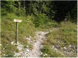 4
4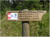 5
5 6
6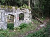 7
7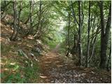 8
8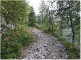 9
9 10
10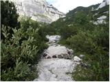 11
11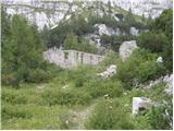 12
12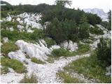 13
13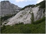 14
14 15
15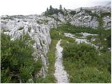 16
16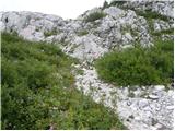 17
17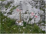 18
18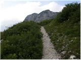 19
19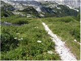 20
20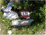 21
21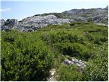 22
22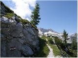 23
23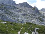 24
24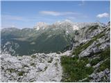 25
25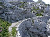 26
26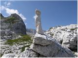 27
27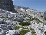 28
28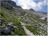 29
29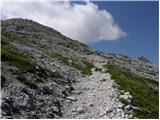 30
30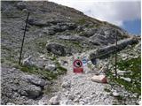 31
31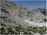 32
32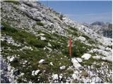 33
33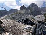 34
34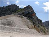 35
35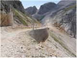 36
36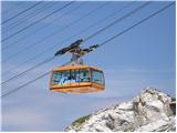 37
37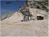 38
38 39
39 40
40 41
41 42
42 43
43 44
44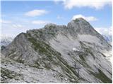 45
45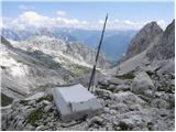 46
46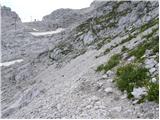 47
47 48
48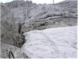 49
49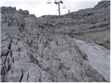 50
50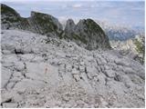 51
51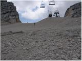 52
52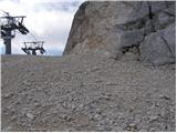 53
53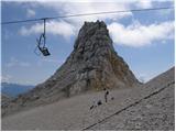 54
54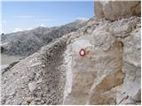 55
55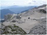 56
56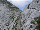 57
57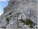 58
58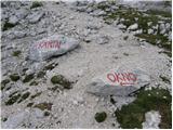 59
59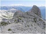 60
60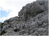 61
61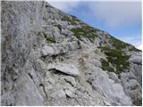 62
62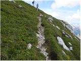 63
63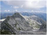 64
64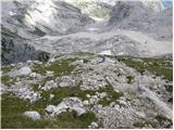 65
65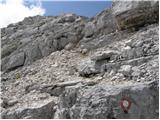 66
66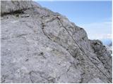 67
67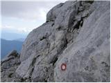 68
68 69
69 70
70 71
71 72
72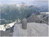 73
73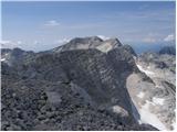 74
74
Discussion about the trail Sella Nevea - Prestreljenik (via 636)
|
| Marko Torelli16. 08. 2019 |
Včeraj, 15.8.2019 po tej poti na Prestreljenik. 636-ka je lepa in zložna, tako da brez pretiranega napora premagujemo višino. Vmes misli uhajajo na graditelje teh poti, kako so jih mojstrsko speljali po strmih pobočjih, mimo kotličev v katerih še vedno leži sneg. Ko pridemo do zgornje postaje funiforja pod Golovcem, se pomešamo med turiste, ki jih na praznik seveda ne manjka. Še večja gneča je na slovenski strani, kjer se dobro opremljeni planinci spopadajo z novo ferrato, Prestreljenik pa v večini primerov naskakujejo tuji turisti po večini opremljeni z obutvijo, ki jo v trgovini najdemo pod kategorijo ˝udobna urbana obutev˝. No...je pa dober občutek, ko Prestreljenik osvojiš na najmanj goljufiv način. Lp.
|
|
|