Sella Nevea - Prestreljenik (via Rifugio Gilberti)
Starting point: Sella Nevea (1170 m)
| Lat/Lon: | 46,3874°N 13,4734°E |
| |
Name of path: via Rifugio Gilberti
Time of walking: 4 h 15 min
Difficulty: difficult marked way
Altitude difference: 1329 m
Altitude difference po putu: 1350 m
Map: Julijske Alpe - zahodni del 1:50.000
Recommended equipment (summer): helmet
Recommended equipment (winter): helmet, ice axe, crampons
Views: 20.103
 | 2 people like this post |
Access to the starting point:
a) First, we drive to Kranjska Gora, then we continue our journey via Border crossing Rateče to Itali. Drive towards Trbiž / Tarvisio, then turn left at the beginning of the town in the direction of Bovec. Continue along the regional road towards Border crossing Predel, and follow the main road to the crossroads near Lake Rabeljsko / Lago del Predil. Here we continue to the right in the direction of the Neveje Pass (V Žlebeh) / Sella Nevea and follow the asphalt road to the aforementioned pass. Park in the large parking lot at the bottom station of the circular cable car leading to the Rifugio Gilberti hut.
b) First drive to Bovec and then continue to Border crossing Predel, via which you will enter Itali. We then descend to Lake Rabel, after which we leave the main road leading to Trbiz and continue driving to the left towards the Nevejski Pass (V Žlebeh). The road then starts to climb again and we follow it to the aforementioned pass. Park in the large parking lot at the bottom station of the circular cable car leading to the Rifugio Gilberti hut.
Path description:
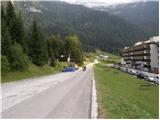
From the parking lot, follow the narrow asphalted road that leads to the Hotel Nevea. After about 100 metres of walking, you will reach a signpost for route No 636, which directs you to the left across a meadow onto a marked footpath. The path soon leads into the wods, through which you continue to climb along an old military causeway. Higher up, the forest becomes more sparse, and the path leads us to the ruins of the Poviz barracks, with increasingly frequent fine views.
The path continues to climb for some time and then leads to a marked crossroads where we continue to the right in the direction of hut Rifugio Gilberti (left saddle Prevala, saddle Vrh Laških brežičev / Sella Robon, Speleological bivouac and Velika Bavha). From the crossroads onwards, the path is completely laid out and continues to the west. Cross the slopes for about 20 minutes and then the trail leads to the ski slopes of the Sella Nevea ski resort. Continue slightly left into the Prevalska ravan (straight ahead hut Rifugio Gilberti 5 minutes), from where you continue along the initially sloping ski slope. Continue ascending along the transport-rescue road, which ascends parallel to the ski slope. Higher up, the road rejoins the ski slope, which climbs between extensive snowfields. Above the snowfield, the 'path' climbs even steeper, and then, within a few minutes of further walking, leads to the Prevala saddle, where the state border is located.
From Prevala, we climb along the right-hand edge of the Slovenian ski slope, where after a few steps on the right-hand side we see the start of a marked path leading to Prestreljenik and the upper station of the cable car to Kanin (the start of the path is not marked). The way forward initially climbs quite steeply upwards along the steel cable, but then the fixed safety gear ends, and the path is still quite steep and dangerous to slip on for some time. Soon the path turns to the left, where it first climbs transversely alongside an old military trench, then lays down and crosses steep and slip-prone slopes. After a few minutes, the path switches to less steep slopes, over which it climbs in a moderate ascent towards Sedlo (the saddle between Grdi vršič and Prestreljenik). After about half an hour's walk from Preval, the above-mentioned saddle is reached, and we join the ski slope some 10 m earlier (if we find the initial climb from Preval to dangerous, we can also reach the above-mentioned saddle by following the ski slope). From Sedlo, where the 4-seater Prevala exit station is also located, you will see a large sign directing you to the west side of Sedlo. Here the marked path turns right and starts to climb steeply up the steep slope. Higher up, the path transiently lays down and then passes by the foot of Prestreljenik, where it first climbs on rubble. The path continues on to steep slopes where it then ascends transversely to the right. There is a short climb over a grassy slope, and then the path turns to a completely rocky world, where you have to help yourself in a few places. Higher up, the path leads to the main ridge, where we are helped by some injured fixed safety gear. The path then gently lays down and in a few 10 steps of further walking leads us to a scenic peak.

We can extend the trip to the following destinations: Prestreljenik
Pictures:
 1
1 2
2 3
3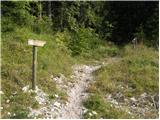 4
4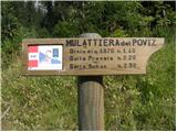 5
5 6
6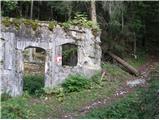 7
7 8
8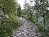 9
9 10
10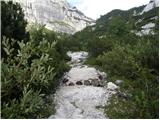 11
11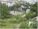 12
12 13
13 14
14 15
15 16
16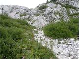 17
17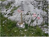 18
18 19
19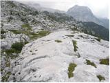 20
20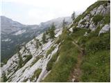 21
21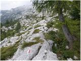 22
22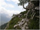 23
23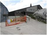 24
24 25
25 26
26 27
27 28
28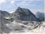 29
29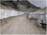 30
30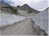 31
31 32
32 33
33 34
34 35
35 36
36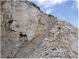 37
37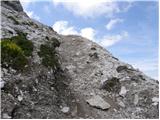 38
38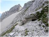 39
39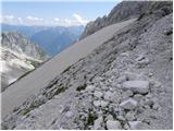 40
40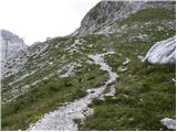 41
41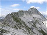 42
42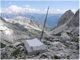 43
43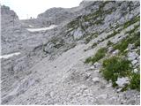 44
44 45
45 46
46 47
47 48
48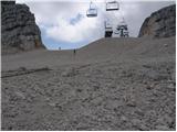 49
49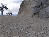 50
50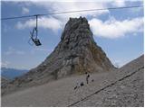 51
51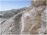 52
52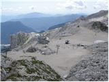 53
53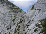 54
54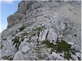 55
55 56
56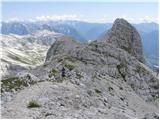 57
57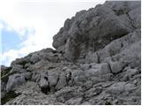 58
58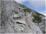 59
59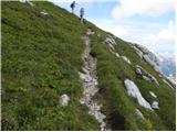 60
60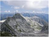 61
61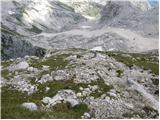 62
62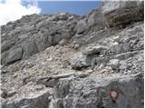 63
63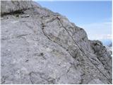 64
64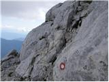 65
65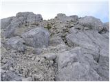 66
66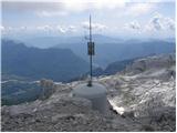 67
67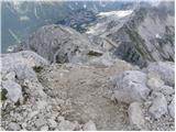 68
68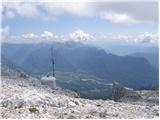 69
69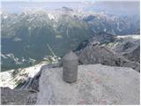 70
70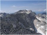 71
71
Discussion about the trail Sella Nevea - Prestreljenik (via Rifugio Gilberti)
|
| free7. 08. 2009 |
Koča Gilberti z okolico je gradbišče, markirana pot do Prevale pa še vedno pretežno pod snegom ali razrita. Da se ne boste ubijali z iskanjem markacij (in grizenjem narinjenega blata) vam predlagam, da jo mahnete kar po narejeni ceti do vrha (brr, sitnih 200 metrov) ali pa od začetka vzpona desno po snegu (še najboljše, za dol itak). Na sedlu se je treba malo ozreti naokrog, markacije so nad nami desno, oznak posebej ni. Je pa naša stran vzorno markirana in vzpon od prevale dalje tudi brez snega, ne pa brez kričačev v supergah.
Lep dan. Itak
|
|
|