Sella Nevea - Velika Črnelska špica (via 636)
Starting point: Sella Nevea (1170 m)
| Lat/Lon: | 46,3874°N 13,4734°E |
| |
Name of path: via 636
Time of walking: 4 h 45 min
Difficulty: difficult marked way
Altitude difference: 1162 m
Altitude difference po putu: 1450 m
Map: Julijske Alpe - zahodni del 1:50.000
Recommended equipment (summer): helmet
Recommended equipment (winter): helmet, ice axe, crampons
Views: 5.837
 | 2 people like this post |
Access to the starting point:
a) First, we drive to Kranjska Gora, then we continue our journey via Border crossing Rateče to Itali. Drive towards Trbiž / Tarvisio, then turn left at the beginning of the town in the direction of Bovec. Continue along the regional road towards Border crossing Predel, and follow the main road to the crossroads near Lake Rabeljsko / Lago del Predil. Here we continue to the right in the direction of the Neveje Pass (V Žlebeh) / Sella Nevea and follow the asphalt road to the aforementioned pass. Park in the large parking lot at the bottom station of the circular cable car leading to the Rifugio Gilberti hut.
b) First drive to Bovec and then continue to Border crossing Predel, via which you will enter Itali. We then descend to Lake Rabel, after which we leave the main road leading to Trbiz and continue driving to the left towards the Nevejski Pass (V Žlebeh). The road then starts to climb again and we follow it to the aforementioned pass. Park in the large parking lot at the bottom station of the circular cable car leading to the Rifugio Gilberti hut.
Path description:
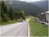
From the parking lot, follow the narrow asphalted road that leads to the Hotel Nevea. After about 100 metres of walking, you will reach a signpost for route No 636, which directs you to the left across a meadow onto a marked footpath. The path soon leads into the woods, through which you continue to climb along an old military causeway. Higher up, the forest becomes more sparse, and the path leads us to the ruins of the Poviz barracks, with increasingly frequent fine views.
The path continues to climb for some time, then leads to a marked crossroads, where we continue to the left in the direction of the Prevala saddle (to the right, the Rifugio Gilberti hut).
The way forward is slightly smoother and becomes more and more scenic. Just a little further on, we come to the next crossroads. This time continue right towards the Prevala saddle (straight ahead saddle Vrh Laških brežičev / Sella Robon) along a path that begins to climb moderately. A wide and well-preserved old military trail quickly leads us into a rockier world, where it begins to turn slightly more to the right. Higher up, the path leads to the scree of Lope, where the path climbs slightly more steeply. A little further on, the marked path comes quite close to the top station of the pendulum, the cable car linking the Slovenian and Italian sides of the ski slope. Here you will see a sign indicating that the old route is not passable, so turn right onto the poorly trodden path marked with red dots. The path ahead descends gently at first and then climbs up to a newly built ski slope, which takes you down to the Prevala saddle in a few minutes.
From Prevala, where there is a crossroads of five trails, continue left in the direction Rombon (straight down Bovec, right Prestreljenik). Continue eastwards along the path, which gradually passes onto the slopes of Lopa (2406 m), and we follow it in a few ascents and descents to a small saddle between Lopa and Kotl (1881 m). Here the path turns slightly to the left and continues along the numerous potholes that are characteristic of the Kanin Mountains. The way ahead leads quickly to a crossroads where the path to Velika Črnelska špica (2332 m) branches off to the left.
Continue after the "Črnjela" signs (straight ahead Rombon 2208 m and the Speleological bivouac) along the path which begins to climb under the slopes of the Velika Črnelska Spit. The trail continues to cross the slopes to the right and gets closer and closer to the top of Mala Črnelska špica, before which the marked trail turns to the left and starts to climb even steeper. There follows about 15 minutes of ascent on a steep and in some places also exposed slope (there is also a high risk of rockfall), and then the path is laid and in a few steps leads us to the top of the Big Crnelska Spit.

Pictures:
 1
1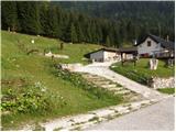 2
2 3
3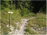 4
4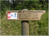 5
5 6
6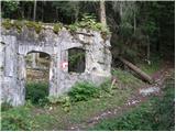 7
7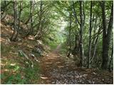 8
8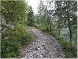 9
9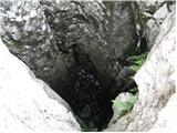 10
10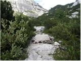 11
11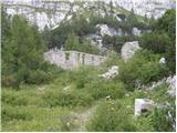 12
12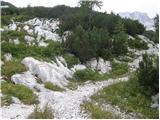 13
13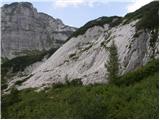 14
14 15
15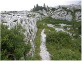 16
16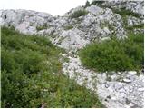 17
17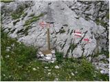 18
18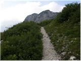 19
19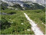 20
20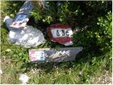 21
21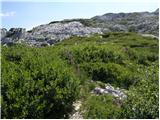 22
22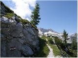 23
23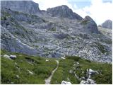 24
24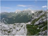 25
25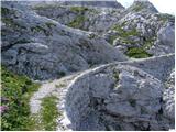 26
26 27
27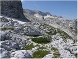 28
28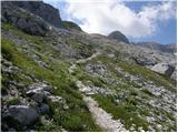 29
29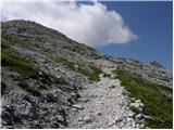 30
30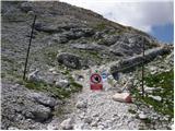 31
31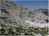 32
32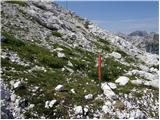 33
33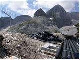 34
34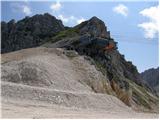 35
35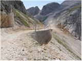 36
36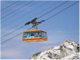 37
37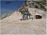 38
38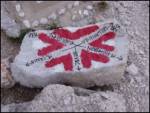 39
39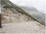 40
40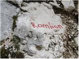 41
41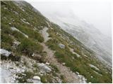 42
42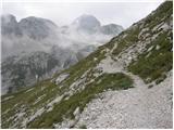 43
43 44
44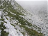 45
45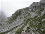 46
46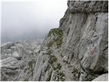 47
47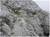 48
48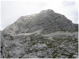 49
49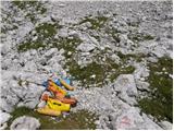 50
50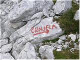 51
51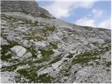 52
52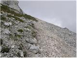 53
53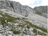 54
54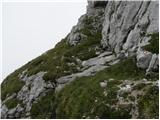 55
55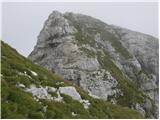 56
56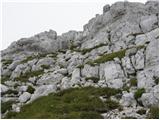 57
57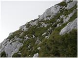 58
58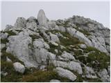 59
59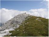 60
60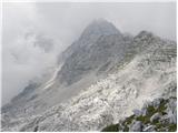 61
61
Discussion about the trail Sella Nevea - Velika Črnelska špica (via 636)