Sella Nevea - Visoki Kanin (Via ferrata Rosalba Grasselli)
Starting point: Sella Nevea (1170 m)
| Lat/Lon: | 46,3874°N 13,4734°E |
| |
Name of path: Via ferrata Rosalba Grasselli
Time of walking: 6 h 15 min
Difficulty: very difficult marked way
Ferata: B/C
Altitude difference: 1417 m
Altitude difference po putu: 1650 m
Map: Julijske Alpe - zahodni del 1:50.000
Recommended equipment (summer): helmet, self belay set
Recommended equipment (winter): helmet, self belay set, ice axe, crampons
Views: 23.702
 | 3 people like this post |
Access to the starting point:
From Kranjska Gora, drive through the Rateče border crossing to Trbiž / Tarvisio. In Trbiz, turn left towards Bovec and follow the road to the crossroads near Lake Rabelj. Here, turn right towards the Nevea Pass / Sella Nevea. Follow this road, which is mostly uphill, to a large parking lot at the bottom station of the cable car leading to the Gilberti hut.
From Bovec, drive to the Predel border crossing, from which you descend to the Italian side. Just after Lake Rabelj, you will reach a crossroads where you turn left towards the Neveje Pass / Sella Nevea. Continue as described above.
Path description:
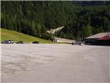
At the end of the parking lot, you will see a sign for the Gilberti mountain lodge, which will direct you to the lower part of the ski slope. Once on the slope, continue left and after a short climb, you will reach a transport rescue road that ascends up the slope. From the relatively steep road, which is closed to traffic, new views open up from one step to the next, the most beautiful of which are of the nearby Belo Pach and the Jôf di Montasio group of mountains. Higher up, the road approaches the cliffs of Bílá Peć and then leads to the top station of the cable car at the Gilberti hut.
From the hut, descend gently (westwards) into a small valley, where there is a crossroads. Continue to the right in the direction of S. Grubia, following the path that runs between the main canyon ridge on the left and the Belo Peć on the right. The way forward initially climbs gently up the valley, then begins to climb steeply and after a few minutes of climbing leads us to an old military fortress on the Bela Peć saddle. After the fortress, continue slightly left in the direction of "bivacco" (right Bela peč 30 minutes very difficult path) on the old military mulatier, which is already well destroyed. The path, which descends slightly and then climbs again, runs along sometimes steep slopes, which are sometimes slightly precipitous and exposed to falling stones (because the path is wide in the land it does not cause any problems). The path then leads to a crossroads, where the path to Visoki Kanin branches off to the left upwards. Continue on the mulatier, which then crosses some ravines that are covered with snow long into the summer. After a 2-hour walk from the Gilberti hut, the beautiful and scenic high-mountain route leads to the Marrusich bivouac.
At the bivouac, head south-east on a narrow path that runs along the ridge and starts to climb. The path soon leads to a ridge and then ascends and descends gently a few times. Later, the path again leaves the ridge to the left and there is a short climb on scree to enter the climbing part of the path.
At first, you climb right up along a small rope to a ridge overlooking the valley of the Riesen. At the ridge, continue left and climb along the steel cable for a short distance on a narrow ridge before retreating back to the north side of the ridge. Here the path becomes very steep and climbs vertically with the help of a number of scrambles. There are a few more steep climbs along the steel and then the ridge is reached again. Further on, the path is a little less protected, but the cable is still there to help us at key points. Most of the climbing is along the ridge on the north side, but occasionally the route follows the ridge. In the last part of the trail towards Vrh Krnice, the trail takes us to the south side of the ridge and there is a short climb up a slightly less steep slope to the summit.
From the top, continue along the ridge, initially descending slightly on smooth slabs, before following the ridge to the right. Here you descend a little more on slightly cobbly terrain, then continue to the left and climb a few times along the cableway. Continue ascending gently on an unprotected steep grassy slope, then soon start to climb upwards to the left and, with the help of a couple of steel cables, reach the ridge again. The route continues along an exposed unprotected ridge and some easy climbing is required over short rock jumps on the ridge. The larger rock jumps are retreated to the right side of the ridge. When the ridge is reached again, the route becomes less difficult and there is a short climb to the viewpoint.
You can descend via the Via ferrata Divisione Julia, which is slightly less demanding than the one described above. This route passes over a glacier, so you will need suitable winter equipment when descending this route.
Alternatively, you can descend via the Slovenian side of the mountain past the Prevala saddle. The Slovenian side trail is much easier than the two trails from the Italian side.

We can extend the trip to the following destinations: Mali Kanin
Pictures:
 1
1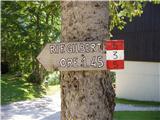 2
2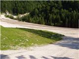 3
3 4
4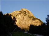 5
5 6
6 7
7 8
8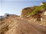 9
9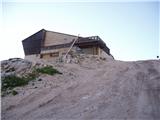 10
10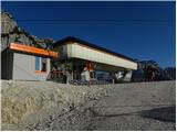 11
11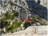 12
12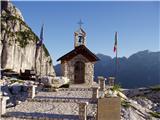 13
13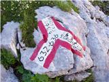 14
14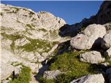 15
15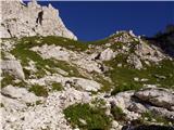 16
16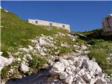 17
17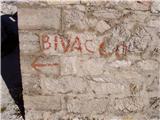 18
18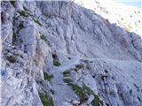 19
19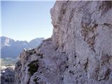 20
20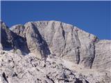 21
21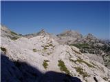 22
22 23
23 24
24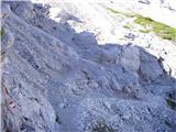 25
25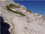 26
26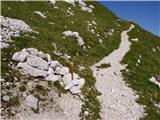 27
27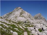 28
28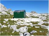 29
29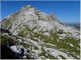 30
30 31
31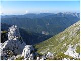 32
32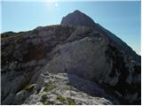 33
33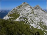 34
34 35
35 36
36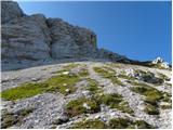 37
37 38
38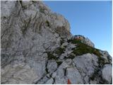 39
39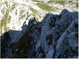 40
40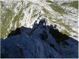 41
41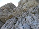 42
42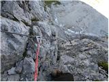 43
43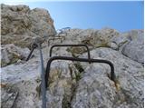 44
44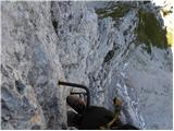 45
45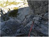 46
46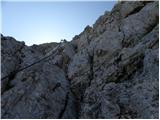 47
47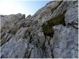 48
48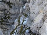 49
49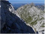 50
50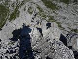 51
51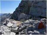 52
52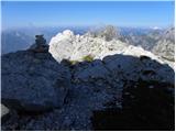 53
53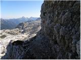 54
54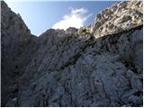 55
55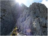 56
56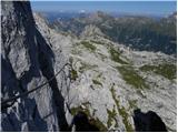 57
57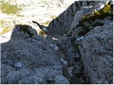 58
58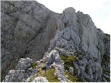 59
59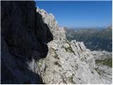 60
60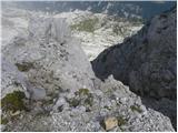 61
61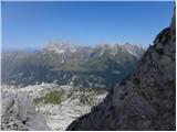 62
62 63
63 64
64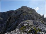 65
65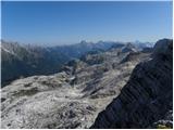 66
66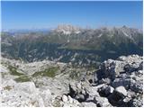 67
67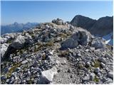 68
68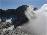 69
69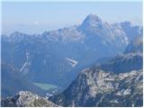 70
70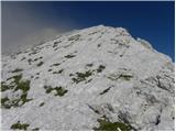 71
71 72
72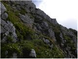 73
73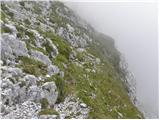 74
74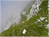 75
75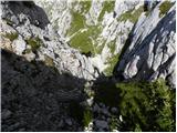 76
76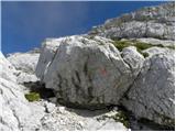 77
77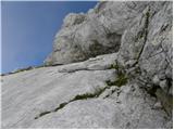 78
78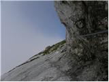 79
79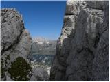 80
80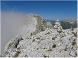 81
81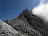 82
82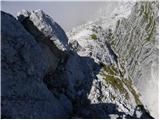 83
83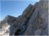 84
84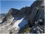 85
85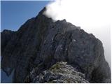 86
86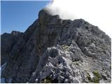 87
87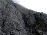 88
88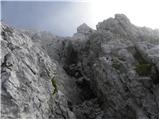 89
89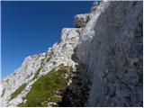 90
90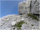 91
91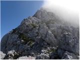 92
92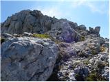 93
93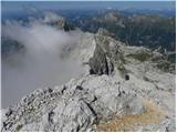 94
94 95
95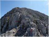 96
96 97
97 98
98
Discussion about the trail Sella Nevea - Visoki Kanin (Via ferrata Rosalba Grasselli)
|
| matic426. 08. 2011 |
Med Visokim Kaninom in Vrhom Krnice so markacije (trikotniki) na novo obnovljene. Med bivakom in začetkom plezalnega dela je pot bolj slabo označena. Jaz sem pot opravil v obratni smeri: po ferati Julija na V.Kanin in sestop po opisani poti.
|
|
|
|
| orkan1. 09. 2011 |
Živjo,zanima me vozni red gondole od nevejskega prelaza do koče Gilgerti na Kanin,če kdo mogoče ve.Lp
|
|
|
|
| Lj1. 09. 2011 |
Do 4.9.11, vsak dan od 8/30 do 16/30.
LpLj
|
|
|
|
| kitina13. 08. 2012 |
V petek 10.8 naredil krozno turo Nevejski preval,Biv.Marussich,Vrh Krnice,V.Kanin,Dom Petra Skalarja,Prevala,Rif.Gilberti,Nevejski p.Lepa ampak dolga!Lp.
|
|
|
|
| evgenc8. 07. 2013 |
v nedeljo bi šel po delu ta visoke rosojanske od bivaka marušič na kanin in nazaj čez severno steno ... je bil kdo pred kratkim in ima kakšna opozorila?
lp, e
|
|
|
|
| evgenc15. 07. 2013 |
včeraj naredil krožno pot: iz prelaza v žlebeh (nevejski preval) do koče gilberti (žičnica še ne vozi, urejena nova pot zahodno od smučišča)), preko sedla bela peč do bivaka marušič (občasno manjša snežišča),od bivaka marušič čez vrh krnice do vrha kanina (povsem kopno, varovala OK, oznake dobre), spust preko severne stene (nova varovala)na kaninski led, del jeklenic v steni pod snegom!, snežišče do poti čez foran del muss (nujno cepin in dereze), nazaj čez sedlo bela peč in na prelaz v žlebeh
|
|
|