Šembije - Gradišče (Čepan)
Starting point: Šembije (597 m)
| Lat/Lon: | 45,6039°N 14,2314°E |
| |
Time of walking: 1 h 20 min
Difficulty: easy unmarked way
Altitude difference: 194 m
Altitude difference po putu: 240 m
Map: Snežnik 1:50.000
Recommended equipment (summer):
Recommended equipment (winter):
Views: 3.758
 | 1 person likes this post |
Access to the starting point:
a) From the motorway Ljubljana - Koper take the exit Postojna and follow the road in the direction of Pivka, Rijeka and Ilirska Bistrica. At Pivka, leave the main road leading to Ilirska Bistrica and continue towards Knežak. Just after Knežak, we reach the village of Šembije, where we turn right in the middle of the village towards the nearby church. A little further on from the church, the village ends and we continue driving on a dirt road, which we climb gently to a small crossroads near the old bunkers. Park nearby in a convenient place on the roadside.
b) Take the Ilirska Bistrica, then continue driving towards Knežak. Before arriving at Šembije, leave the main road and drive left towards the village of Podtabor. At the beginning of Podtabor we reach a crossroads of several roads, and we take the rightmost one (the far right yard of a nearby house) and climb it steeply for a short distance. As the road levels out, you will see old bunkers on the left, a small concrete cross on the right and a small crossroads a few metres further on. Park somewhere nearby in a suitable place along the road.
Path description:
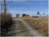
From the starting point, take the side dirt road, which begins to climb gently north-westwards, quickly turning into a wide cart track. After only 10 m, the cart track splits into two parts, and we choose the left one, which quickly takes us over the top edge of the precipitous cliffs. From the edge, we have a fine view of the village of Podtabor, almost vertically below us, and of the Brkini Mountains in the distance. As we continue our ascent, we may even see some old and faded markings along the way, but this is a rarity rather than the rule. A little higher up, the trail leads through a few sparse strips of scrub, then gradually transitions to vast grassy slopes. Here the path turns slightly to the right and leads us to a small pass (the pass between the peaks Bezgovica 738 m and Vrh 777 m).
At the pass, cross a grazing fence and begin a gentle descent behind it. The cart track quickly lays down, and we walk along it for only a short time, then on the left side we see several small paths climbing crosswise over a gentle grassy slope. We continue along one of the paths, taking care to keep as far to the left as possible, i. e. the paths that run as close as possible to the Brk edge. Higher up, we cross a short strip of forest, and the path, which gradually becomes a distinct ridge, quickly leads us to the lesser-known, but relatively scenic, Gradišče peak, with increasingly beautiful views.

Pictures:
 1
1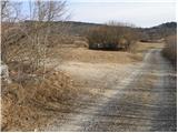 2
2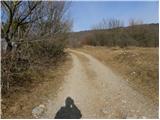 3
3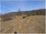 4
4 5
5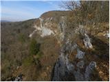 6
6 7
7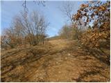 8
8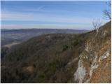 9
9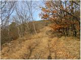 10
10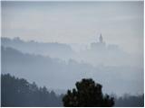 11
11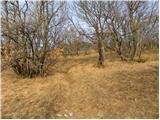 12
12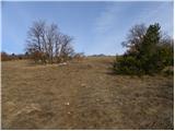 13
13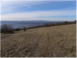 14
14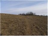 15
15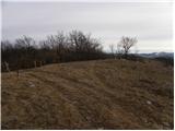 16
16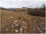 17
17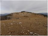 18
18 19
19 20
20 21
21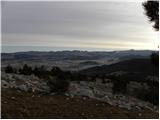 22
22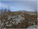 23
23 24
24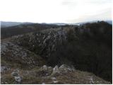 25
25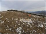 26
26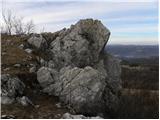 27
27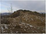 28
28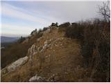 29
29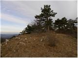 30
30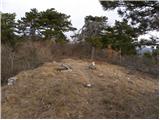 31
31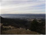 32
32 33
33
Discussion about the trail Šembije - Gradišče (Čepan)
|
| stempe3. 04. 2022 21:11:58 |
Na vrhu se po novem nahajajo skrinjica z žigom in vpisno knjigo.
LP
|
|
|