Senično - Planica (Paragliding site Gozd) (gentle path)
Starting point: Senično (540 m)
| Lat/Lon: | 46,334°N 14,3131°E |
| |
Name of path: gentle path
Time of walking: 1 h 15 min
Difficulty: easy unmarked way
Altitude difference: 386 m
Altitude difference po putu: 386 m
Map: Karavanke - osrednji del 1:50.000
Recommended equipment (summer):
Recommended equipment (winter): ice axe, crampons
Views: 848
 | 1 person likes this post |
Access to the starting point:
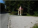
a) Leave the Gorenjska motorway at exit Kranj West, then follow the signs for Golnik. After Golnik we reach the settlement Senično, and after the sign marking the end of the settlement Golnik, we park at the larger chapel located on the right side of the road.
b) From the road Naklo - Tržič, in the settlement Retnje, turn onto the road in the direction of Križev and Golnik. In Križe, at the stop sign, turn right towards Golnik, and we follow the main road almost to the beginning of the settlement of Senično. About 100 metres before the settlement, on the left side of the road, we see a larger chapel, next to which we park.
Path description:
To the right of the chapel, at the left edge of the meadow, you can see a well-worn path that leads quickly into the lane of the forest. After crossing a small stream, the path turns right and passes into a vast hay field, and we follow the path across the hay field, which leads us after a few minutes to an asphalt road, which we reach at the beginning or end of the village of Spodnje Vetrno. Continue along the asphalt road as it climbs through the village, taking slight right turns at a few small crossroads. Higher up, near the last houses, the road turns right and enters the forest.
At the last house the asphalt ends and we continue along the road, which is closed to public traffic by a road sign. The road soon turns left, and we continue straight on cart track in the direction of the Forest. We continue up the wide cart track, which is soon joined by cart track with Golnik.
After the crossroads, cart track narrows and a steep path branches off slightly to the left, crossing cart track a few more times higher up.
Continue on cart track, which climbs moderately to steeply at first, but soon turns left and makes a longer, rather gentle serpentine. As cart track turns right, it starts to climb moderately again, and we cross the steep path for the last time. There is a longer traverse to the right, and as cart track lays down, we continue slightly left onto the slightly narrower cart track, which continues to climb in the same direction. A few minutes further on, cart track joins the marked path from Golnik, and cart track gradually turns into a mountain path. A little further on, an unmarked trail branches off the marked trail to the left, leading towards Planica or the Gozd airstrip.
Continue along the above-mentioned path (straight on is the marked path towards Zavetišče v Gozdu and Kriška gora), which initially climbs through lane of bushes, then passes into the forest, through which it climbs all the way up to the JPK Kriška gora hut, which is located at the top of Planica or the Gozd airstrip.
Description and pictures refer to the situation in 2018 (September).

Pictures:
 1
1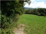 2
2 3
3 4
4 5
5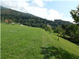 6
6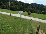 7
7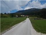 8
8 9
9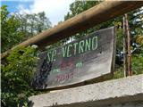 10
10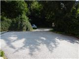 11
11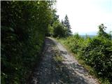 12
12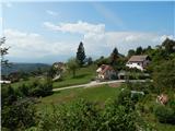 13
13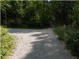 14
14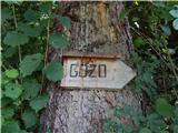 15
15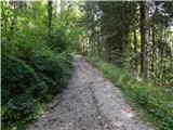 16
16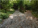 17
17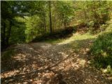 18
18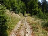 19
19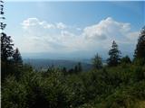 20
20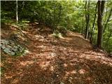 21
21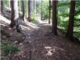 22
22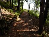 23
23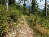 24
24 25
25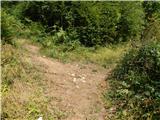 26
26 27
27 28
28 29
29 30
30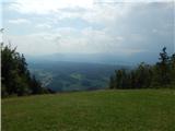 31
31
Discussion about the trail Senično - Planica (Paragliding site Gozd) (gentle path)