Serdica - Serdiški breg (Rdeči breg) (via Brunarjev breg)
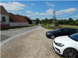
Starting point: Serdica (239 m)
| Lat/Lon: | 46,81596°N 16,02702°E |
| |
Name of path: via Brunarjev breg
Time of walking: 50 min
Difficulty: easy marked way
Altitude difference: 177 m
Altitude difference po putu: 185 m
Map: Pomurje 1:40.000
Recommended equipment (summer):
Recommended equipment (winter):
Views: 131
 | 1 person likes this post |
Access to the starting point:
Drive to Gederovci (to get here from Murska Sobota or Radenci), then continue driving to Kuzma. After Rogašovci we arrive at Nuskova, and a little further on at Serdica, where the signs for Serdiški breg and Ocinje direct us to the left onto a side road. Park at a suitable place on the side of the road after the junction.
Path description:
At the starting point, we see signs for Serdiški breg, which direct us to the side road where we parked. Serdica ends immediately, and we quickly reach the fire house, after which the road from Nuskova joins from the left.
We continue straight ahead, and the path soon forks. Continue along the road on the right, which continues along the Ledava River. Continue along the gently sloping road for a while, then turn left at the crossroads, where you will see a signpost. The road ahead starts to climb more visibly, and at the next two junctions go right, and after the last house the asphalt road changes to cart track. Within a few minutes of further ascent, you reach Brunarjev Breg (Brunarjev Breg), from where you get a nice view. A climb across a meadow, then through lane of a forest to reach a small hamlet, where you join another asphalt road. Walk along the road for only a short time, as the signs then direct you to the right to cart track, which takes you along the fields to Serdiškis Breg in a few minutes.
Description and pictures refer to the situation in August 2021.

Pictures:
 1
1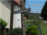 2
2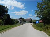 3
3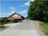 4
4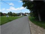 5
5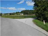 6
6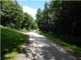 7
7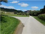 8
8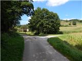 9
9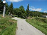 10
10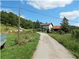 11
11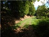 12
12 13
13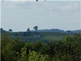 14
14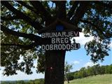 15
15 16
16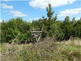 17
17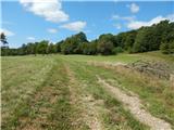 18
18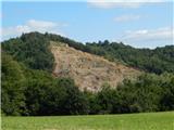 19
19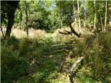 20
20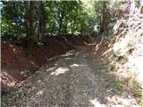 21
21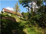 22
22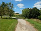 23
23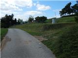 24
24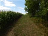 25
25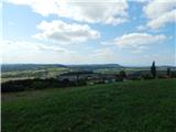 26
26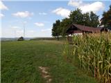 27
27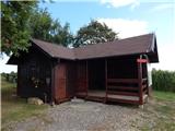 28
28 29
29
Discussion about the trail Serdica - Serdiški breg (Rdeči breg) (via Brunarjev breg)