Šešče pri Preboldu - Dragov dom na Homu (Brdovska pot)
Starting point: Šešče pri Preboldu (286 m)
| Lat/Lon: | 46,23629°N 15,12331°E |
| |
Name of path: Brdovska pot
Time of walking: 1 h 15 min
Difficulty: easy marked way
Altitude difference: 321 m
Altitude difference po putu: 335 m
Map:
Recommended equipment (summer):
Recommended equipment (winter): ice axe, crampons
Views: 1.620
 | 1 person likes this post |
Access to the starting point:
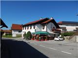
Leave the Štajerska motorway at the Šempeter exit, then follow the signs for Šempeter. From the centre of Šempeter in the Savinja Valley, turn right at the semaphorised junction towards Šešice at Prebold. When Šempeter ends, follow the main road or signs for Šešče or Matke. After crossing the river Savinja you arrive in the village Šešče pri Preboldu, where you go right towards Matki and Sveti Lovrenc (left Griže), and a few metres further left towards Matki. Continue for another 100 m and you will reach the Šešče Cultural Centre, the Šešče Fire Station and the shop where the route described above begins. Park in a suitable place next to these buildings.
Path description:
From the starting point, turn right on the road (there is a slightly shorter path to Hom on the left) and walk along the asphalt road towards Matki. After a few minutes, Šešče pri Preboldu ends, and after the bridge over the Kolja stream, it joins the road from Sv. Lovrenec. After a short climb, there is some downhill, and when you reach the chapel, the signs for Hom and the Brdovska path direct you left onto a side road.
After a small bridge, continue straight on, and a little further on, go slightly to the right. There is a bit of a climb past a few houses, and at the IPO the road turns sharp left (on some maps it shows going straight on cart track). A few steps further on, go right and climb to the edge of the forest, where the asphalt road ends.
Here, continue left along the marked path, which initially continues along the edge of the forest, but becomes better trodden as you enter the forest. Higher up, the path narrows, and a few minutes higher up, it joins up with a slightly shorter path from Šešččí and with one of the paths from Griž.
Continue to the right, passing a 300-year-old tree, to reach a chapel, where you join the direct route from Griž.
Continue straight ahead, following the more complex cart track, and when you leave the forest you will arrive at a small pass, where you will join the path from the hamlet of Zahom.
Here, looking to the right, a fine view opens up, which in good visibility reaches as far as Kamnik Savinja Alps, and we continue past the nearby house and continue along the steep macadam road, which we follow all the way to the top of Hom, where the church of St Mary Magdalene and the Drago dom na Hom are situated.
Description and pictures refer to the situation in July and September 2021.

Pictures:
 1
1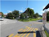 2
2 3
3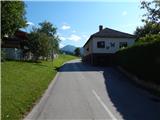 4
4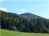 5
5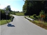 6
6 7
7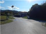 8
8 9
9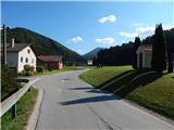 10
10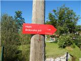 11
11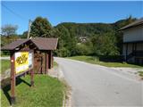 12
12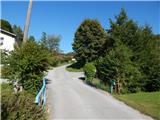 13
13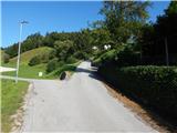 14
14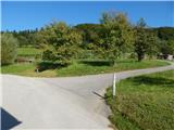 15
15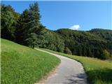 16
16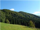 17
17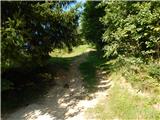 18
18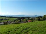 19
19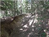 20
20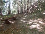 21
21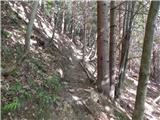 22
22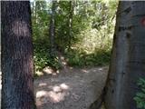 23
23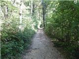 24
24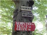 25
25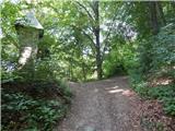 26
26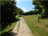 27
27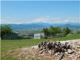 28
28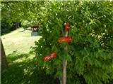 29
29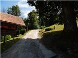 30
30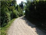 31
31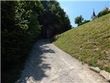 32
32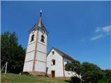 33
33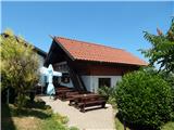 34
34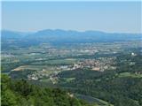 35
35
Discussion about the trail Šešče pri Preboldu - Dragov dom na Homu (Brdovska pot)