Škofja Loka - Lubnik (via Luža)
Starting point: Škofja Loka (348 m)
| Lat/Lon: | 46,1669°N 14,309°E |
| |
Name of path: via Luža
Time of walking: 2 h
Difficulty: easy marked way
Altitude difference: 677 m
Altitude difference po putu: 700 m
Map: Škofjeloško in Cerkljansko hribovje 1:50.000
Recommended equipment (summer):
Recommended equipment (winter): crampons
Views: 35.155
 | 3 people like this post |
Access to the starting point:
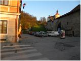
From Ljubljana, Kranj or Gorenjska vas, drive to Škofja Loka and park in one of the car parks near Loško castle.
Path description:
From the starting point, first walk to Loško Castle, then continue the ascent along the marked and initially asphalted road. The road soon loses its asphalt coating and leads to the grassy slopes. With the views of Lubnik, Škofja Loka and Kamnik Savinja Alps getting better and better, within a few minutes of further walking we reach the viewing platform at Kranclju.
From the viewing platform, the road descends to the Grebenar homestead, from where the ascent continues along the macadam road in the direction of Lubnika. After a short climb, enter the forest, where the road turns into cart track. After a few minutes of walking through the forest, the path descends to the nearby road leading from Škofja Loka towards Gabrovo and Breznica.
The road is reached just at the serpentine, where there are a few car parks, and we continue straight on along the marked path in the direction of Lubnik over the Lužo (left on the Lubnik road over Gabrovo, right on the Stari grad). The path climbs steeply along a wooded ridge, then gradually moves from the ridge to a slope, where it continues to climb steeply for some time. Higher up, the path is laid and the path from the Old Castle joins us from the right. Continue straight ahead, and the path leads out of the forest onto a grassy slope, from which a beautiful view opens up. The path continues through a short lane of forest and then leads to a wide cart track, which leads to the village of Gabrovo. Follow the signs through the village, and the path leads you first along an asphalt road and then along a macadam road. Above the village, the path leaves the road and turns slightly right into the forest, through which it begins to climb steeply. Higher up, the path gradually flattens out and after a while joins the wide cart track, which the waymarked path crosses a few times. A few minutes' walk follows and the path, which climbs moderately to steeply, quickly leads to the top of Lubnik.

Pictures:
 1
1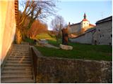 2
2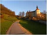 3
3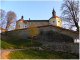 4
4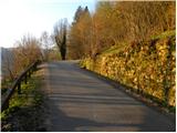 5
5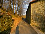 6
6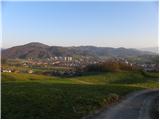 7
7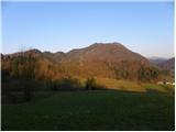 8
8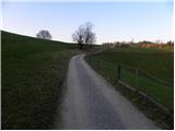 9
9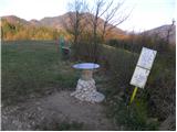 10
10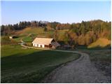 11
11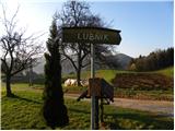 12
12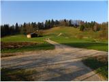 13
13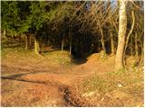 14
14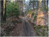 15
15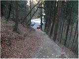 16
16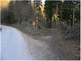 17
17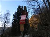 18
18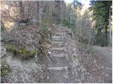 19
19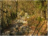 20
20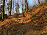 21
21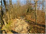 22
22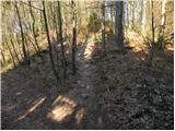 23
23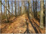 24
24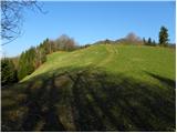 25
25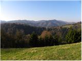 26
26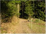 27
27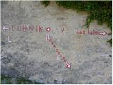 28
28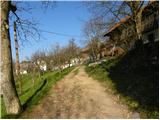 29
29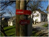 30
30 31
31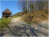 32
32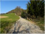 33
33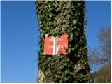 34
34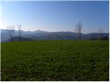 35
35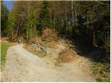 36
36 37
37 38
38 39
39 40
40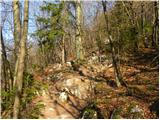 41
41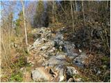 42
42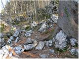 43
43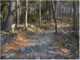 44
44 45
45 46
46 47
47 48
48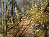 49
49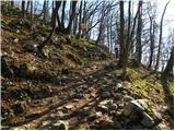 50
50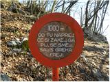 51
51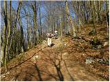 52
52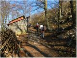 53
53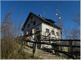 54
54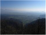 55
55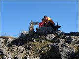 56
56
Discussion about the trail Škofja Loka - Lubnik (via Luža)
|
| ločanka2. 01. 2017 |
Tole je najbolj klasična pot na Lubnik, izhodišče je lahko tudi pri vrtcu Najdihojca (vsaj jaz naredim tako), tako kot za grebensko pot. Čas je pa malo pretiran, bi ocenila dobro uro in pol.
|
|
|
|
| sirt15. 01. 2017 |
Najboljša varianta je pa avtobusna postaja. Potem pa grebenska gor, tale čez Lužo dol, pa je prav lep krog.
|
|
|
|
| tango28. 02. 2019 |
Čez Lužo gor in po Grebenski dol, pa še ena prečnica do Starega gradu in v kar močnem vetru nazaj v Loko. Prima in tega se zavedajo tudi mnogi, katerih otroci imajo ta teden počitnice, saj je bila od Naceta gor prava kolona.
|
|
|
|
| TrmaD28. 04. 2024 20:57:26 |
Danes sva za utrjevanje kolen šla čez Lužo na Lubnik.
Prijetna hoja, tudi veliko pohodnikov, kljub nekoliko oblačnemu vremenu lepi razgledi. Lep izlet.
|
|
|