Škofja Loka - Lubnik (via Stari grad)
Starting point: Škofja Loka (348 m)
| Lat/Lon: | 46,1669°N 14,309°E |
| |
Name of path: via Stari grad
Time of walking: 2 h 15 min
Difficulty: easy marked way
Altitude difference: 677 m
Altitude difference po putu: 715 m
Map: Škofjeloško in Cerkljansko hribovje 1:50.000
Recommended equipment (summer):
Recommended equipment (winter): crampons
Views: 49.614
 | 3 people like this post |
Access to the starting point:
From Ljubljana, Kranj or Gorenjska vas, drive to Škofja Loka and park in one of the car parks near Loško castle.
Path description:
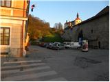
From the starting point, first walk to Loško Castle, then continue the ascent along the marked and initially asphalted road. The road soon loses its asphalt coating and leads to the grassy slopes. With the views of Lubnik, Škofja Loka and Kamnik Savinja Alps getting better and better, within a few minutes of further walking we reach the viewing platform at Kranclju.
From the viewing platform, the road descends to the Grebenar homestead, from where the ascent continues along the macadam road in the direction of Lubnika. After a short climb, enter the forest, where the road turns into cart track. After a few minutes of walking through the forest, the path descends to the nearby road leading from Škofja Loka towards Gabrovo and Breznica.
The road is reached just at the serpentine, where there are a few parking places, and we continue to the right in the direction of the Old Castle (straight on the Lubnik road over Gabrovo, straight on the Lubnik footpath over the Lužo).
We continue along the cart track, which crosses the slopes to the right, then turns left and leads us to a viewpoint of the Kamniško Savinjske Alps. There is a short descent, and then the path turns right across a ravine, from which you quickly climb to a marked crossroads. Here, continue right in the direction of the Old Castle, which is only a few minutes' walk away.
From the castle, we return to the crossroads and then continue in the direction of Lubnik. The path crosses a clearing, then passes into a forest, where it turns right and starts to climb steeply. After a few minutes, the steepness subsides and the path over the Lužo River joins the trail.
Continue to the right and the path leads out of the forest onto a grassy slope with a beautiful view. The path continues through a short lane of forest and then leads to a wide cart track, along which we walk to the village of Gabrovo. Follow the signs through the village, and the path leads you first along an asphalt road and then along a macadam road. Above the village, the path leaves the road and turns slightly right into the forest, through which it begins to climb steeply. Higher up, the path gradually flattens out and after a while joins the wide cart track, which the waymarked path crosses a few times. A few minutes' walk follows and the path, which climbs moderately to steeply, quickly leads to the top of Lubnik.

Pictures:
 1
1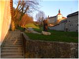 2
2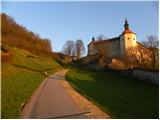 3
3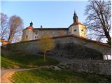 4
4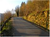 5
5 6
6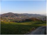 7
7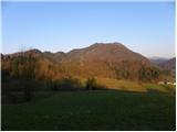 8
8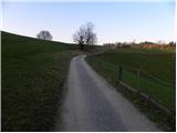 9
9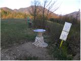 10
10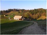 11
11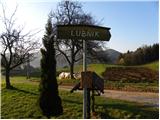 12
12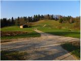 13
13 14
14 15
15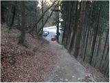 16
16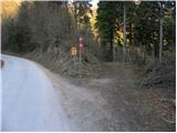 17
17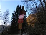 18
18 19
19 20
20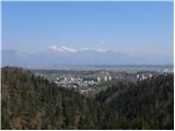 21
21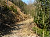 22
22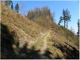 23
23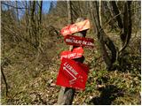 24
24 25
25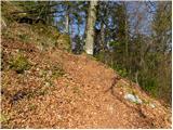 26
26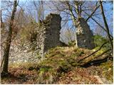 27
27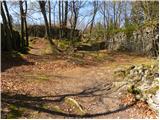 28
28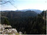 29
29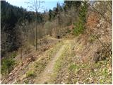 30
30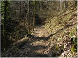 31
31 32
32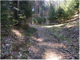 33
33 34
34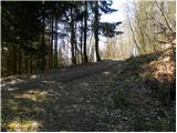 35
35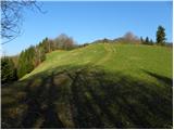 36
36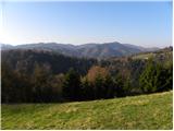 37
37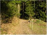 38
38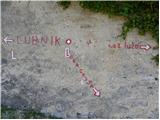 39
39 40
40 41
41 42
42 43
43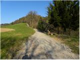 44
44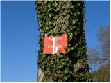 45
45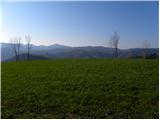 46
46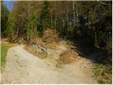 47
47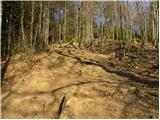 48
48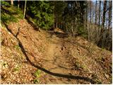 49
49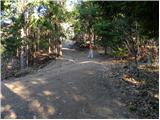 50
50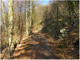 51
51 52
52 53
53 54
54 55
55 56
56 57
57 58
58 59
59 60
60 61
61 62
62 63
63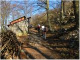 64
64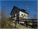 65
65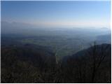 66
66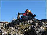 67
67
Discussion about the trail Škofja Loka - Lubnik (via Stari grad)
|
| Enka12. 04. 2011 |
Mi smo se po tej poti vračali z Lubnika. Stari grad je resnično vreden obiska!
|
|
|
|
| ljubitelj gora25. 01. 2013 |
Če koga ne zanima grad in bi rad malo višje štartal se naj zapelje v smeri Poljanske doline. Malo izven Škofje Loke se cesta odcepi proti vasi Gabrovo. Po dobrem kilometru je na ostrem ovinku parkirišče in malo naprej smerokazi za Lubnik.
|
|
|