Slovenska vas - Petelinjsko jezero
Starting point: Slovenska vas (567 m)
| Lat/Lon: | 45,7011°N 14,2114°E |
| |
Time of walking: 20 min
Difficulty: easy marked way
Altitude difference: -37 m
Altitude difference po putu: 15 m
Map: Snežnik 1:50.000
Recommended equipment (summer):
Recommended equipment (winter):
Views: 7.437
 | 1 person likes this post |
Access to the starting point:
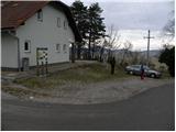
From the motorway Ljubljana - Koper, take the exit Postojna and then continue in the direction of Pivka and Ilirska Bistrica. When you reach the village of Petelinje, leave the main road and turn left in the direction of Slovenske vas. Following a slightly narrower road, you will quickly arrive in the village, where you will park next to the Beekeeping Education Centre Slovenska vas.
Path description:
At the starting point, you will see signs for Petelinjsko jezero and Sveta Trojica, which direct you to the right onto a gradually deteriorating macadam road. The road climbs gently at first and then begins to descend. After a few minutes of descending, you arrive at a small crossroads where the signs for Sveta Trojica direct you sharp left. The route continues along the dirt road, which leads across vast meadows where you can observe the growth of numerous pine and juniper trees. A little further on, we come to a less well-marked crossroads, where a marked footpath to Sveta Trojica branches off to the right, and we continue straight along the road, which begins to descend to Petelinjsko jezero, which we reach after a few minutes of further walking.
Pictures:
 1
1 2
2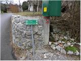 3
3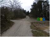 4
4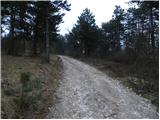 5
5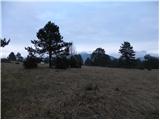 6
6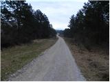 7
7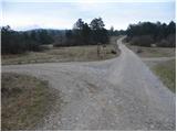 8
8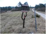 9
9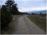 10
10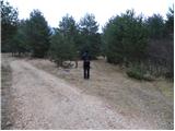 11
11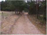 12
12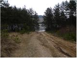 13
13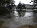 14
14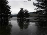 15
15
Discussion about the trail Slovenska vas - Petelinjsko jezero