Šmihel - Kopitnik (via Skozno)
Starting point: Šmihel (310 m)
| Lat/Lon: | 45,9508°N 13,7393°E |
| |
Name of path: via Skozno
Time of walking: 3 h
Difficulty: easy unmarked way
Altitude difference: 619 m
Altitude difference po putu: 715 m
Map: Goriška - izletniška karta 1:50.000
Recommended equipment (summer):
Recommended equipment (winter):
Views: 2.050
 | 1 person likes this post |
Access to the starting point:
a) From the Vipava expressway, take exit Vogrsko and then continue in the direction of Tolmin and Ozeljana. When you reach the old Ajdovščina - Nova Gorica road, turn left at the semaphoreised junction, and after a few metres, in the hamlet of Tri Hiše, turn right onto the road, which will quickly take you to Ozeljan. Through Ozeljan follow the signs for the Grad pizzeria, and from the pizzeria onwards follow the main road or right turn-off, which leads us higher up to the village of Šmihel. When you reach the upper part of the settlement, you will see the first signs for Skozno, which will direct you to the right, and then you will quickly arrive at the cemetery, next to which you will park.
b) From Nova Gorica take the old road towards Ajdovščina, then at the hamlet of Tri Hiše (the hamlet is located at the semaphorised crossroads where the road to Vogrsko branches off to the right) turn left towards the pizzeria Grad. Follow the road to Ozeljan. Through Ozeljan follow the signs for the Grad pizzeria, and from the pizzeria onwards follow the main road or right turn-off, which leads higher up to the settlement of Šmihel. When you reach the upper part of the settlement, you will see the first signs for Skozno, which will direct you to the right, and then you will quickly arrive at the cemetery, next to which you will park.
Path description:
From the starting point, continue along the upper left-hand side of the cemetery, where you walk along a worse road that turns left and quickly leads you to a waterworks building. After the building, the path changes to cart track, turns right and quickly leads to a marked crossroads.
From the crossroads continue along the left-hand cart track in the direction of natural window Skozno (straight Trpinovšče), which is followed at a few small crossroads in the direction of the markers. At the next direction sign for Skozno, leave cart track and continue the ascent along a steeper mountain path, which climbs mainly transversely to the left. A little higher, at the hunting observation post, at a small crossroads, continue straight ahead, cross a short clearing, and then views occasionally begin to open up towards the Vipava Valley and Trstelj in the background. A little further on, the path is laid and we arrive at a pleasant bench, from which we get a nice view of the valley, Sveta Gora and the Alps in the background.
Behind the bench, the path turns semicircularly to the right, where the path from Ravnica joins from the left.
Continue right towards Vitovlje and Skozno, then a few minutes further down to the right towards the natural window Skozno, where you quickly descend to the registration box.
From the registration box, go back to the marked trail leading to Vitovlje (you can also take the difficult trail leading through the Skozno cave), and then continue to Vitovlje (in between you can walk to the natural bridge over the Skozno window). The trail continues along the southern slopes of the Trnovo Forest without any major changes in altitude. Behind a small hunting lodge, which can be seen on the right hand side, we arrive at a crossroads, where we can see the inscription Vitovlje on a rock. Here, a path branches off to the right, leading to the cemetery in Šmihel, and we continue straight on towards Vitovlje. Further on, the red lines replace the admittedly sparse markings, and the path leads us south of the weekend village of Trpinovšče. Quite overgrown and in the period from early spring to late autumn, the path full of ticks leads us to another crossroads, where the next path to Vitovlje branches off to the right. Continue straight on again, first passing a bench partly overgrown with grasses full of ticks. After the bench, the path climbs gently to moderately for some time along the southern slopes of Trnovski les, and we are still helped by the quite common unofficial markings in the form of red lines. After a while, the trail turns slightly to the right from the edge of the plateau, where it passes onto the slopes, and then joins the marked trail leading from Vitovlje towards Kopitnik. Follow this path to the left or straight on, then quickly reach cart track. At a nearby crossroads, continue in the direction of the hunting lodge, then take the wide cart track. At the hunting lodge, the cart track turns into a road, and you quickly climb it to the Kopitnik paragliding airstrip, from where you get a beautiful view of the lower Vipava valley.
Šmihel - Skozno 1:00, Skozno - Kopitnik 2:00.
Description and pictures refer to the situation in 2016 (October).

Pictures:
 1
1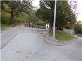 2
2 3
3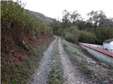 4
4 5
5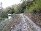 6
6 7
7 8
8 9
9 10
10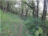 11
11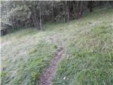 12
12 13
13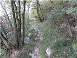 14
14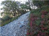 15
15 16
16 17
17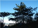 18
18 19
19 20
20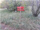 21
21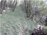 22
22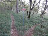 23
23 24
24 25
25 26
26 27
27 28
28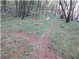 29
29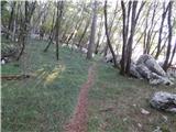 30
30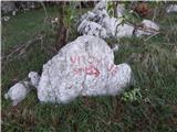 31
31 32
32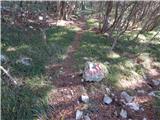 33
33 34
34 35
35 36
36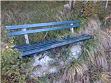 37
37 38
38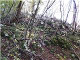 39
39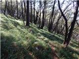 40
40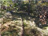 41
41 42
42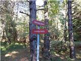 43
43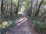 44
44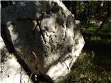 45
45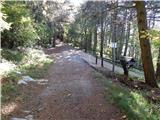 46
46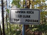 47
47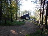 48
48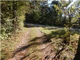 49
49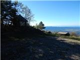 50
50 51
51 52
52
Discussion about the trail Šmihel - Kopitnik (via Skozno)
|
| Hribolazec8117. 06. 2024 23:49:14 |
Planinci poznavalci te poti, kako je označena in razvidna tale pot? Nekaj piše neoznačena pot, nisem še pa hodil tukaj, tako da ne poznam teh koncev  Hvala 
|
|
|
|
| mirank18. 06. 2024 11:53:00 |
Navedeno pot smo prehodili v času koronske blokade kar večkrat in takrat je bila dobro uhojena in označena, kar mislim da je tudi sedaj. Pozor, ni primerna za sedanje obdobje, ker zna bit tam vroče ko v peklu. Mi smo jo prehodili do Velikega roba in se tam spustili na srednječavensko, po njej do cerkvice nad Vitovljami, se tam spustili niže kakih 150 višincev in po lepi gozdni poti prišli direkt k pokopališču Šmihel. Krožna tura kakih 7-8h 
|
|
|