Šobčev bajer - Gradišče (Bodešče)
Starting point: Šobčev bajer (426 m)
| Lat/Lon: | 46,3556°N 14,1507°E |
| |
Time of walking: 40 min
Difficulty: easy marked way
Altitude difference: 73 m
Altitude difference po putu: 73 m
Map: Karavanke - osrednji del 1:50.000
Recommended equipment (summer):
Recommended equipment (winter): ice axe, crampons
Views: 2.565
 | 2 people like this post |
Access to the starting point:
From the motorway Ljubljana - Jesenice, take the exit Lesce and then continue to Bled. Before Bled, you will see signs for the Šobec bivouac, which will direct you to the left onto the road, which will quickly take you to the large parking lot in front of the bivouac entrance. The parking lot, or the back part of the road, is charged for part of the year. During the high summer season, the entrance to the bivouac or the access to Šobče lake is also charged.
Path description:
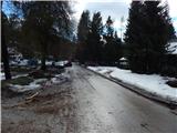
From the starting point, walk to the western part of the bivouac, where you cross the Sava Dolinka over a bridge. After the bridge, continue left in the direction of Talež and Bodeški Most (right Koritno and Bled) along cart track, which continues across a vast meadow. As we walk across the meadow, a fine view of Karawanks opens up as we look back, and we follow cart track to where it passes the edge of the forest and begins to climb. At this point, the fainter cart track branches off to the right and begins to climb cross-country to the right. There is a few minutes' cross-climb through the woods, then out of the woods onto a longer flat area with fine views to the village of Bodešče, which is reached by a long trestle.
Continue past a few houses and you reach the first crossroads, where you continue straight towards the Church of St Lenart. The path ahead takes us through the village and quickly leads to the next crossroads. Again, we continue in the direction of St Lenart and Gradišče, and after a minute's walk along the gently sloping road we reach the aforementioned church.
From the church, continue along the road in the direction of Gradišče, leaving the road just before the last house in the village and continuing to the left. The path continues up through a narrow lane of low forest and passes to the other side of the hill, where just a few metres below the top it crosses the relatively steep slopes above the Sava Bohinjka river. After a minute or two of crossing, the path turns sharply to the left and passes onto a ridge, which is quickly climbed to a viewpoint with a cross and a bench.

Pictures:
 1
1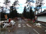 2
2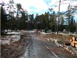 3
3 4
4 5
5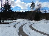 6
6 7
7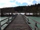 8
8 9
9 10
10 11
11 12
12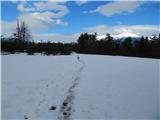 13
13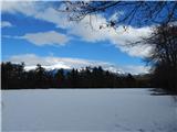 14
14 15
15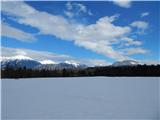 16
16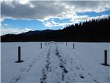 17
17 18
18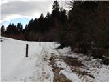 19
19 20
20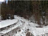 21
21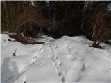 22
22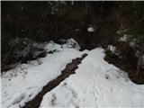 23
23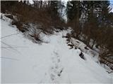 24
24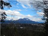 25
25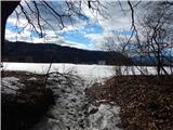 26
26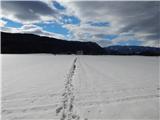 27
27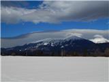 28
28 29
29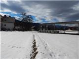 30
30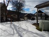 31
31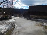 32
32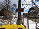 33
33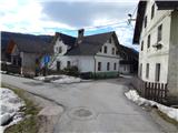 34
34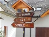 35
35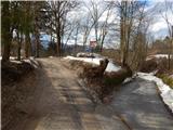 36
36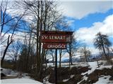 37
37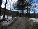 38
38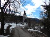 39
39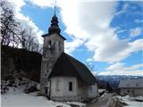 40
40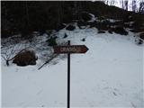 41
41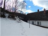 42
42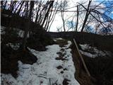 43
43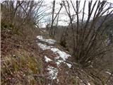 44
44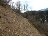 45
45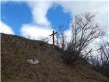 46
46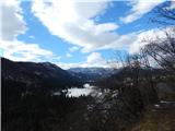 47
47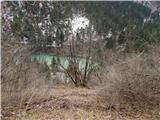 48
48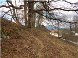 49
49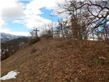 50
50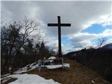 51
51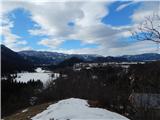 52
52
Discussion about the trail Šobčev bajer - Gradišče (Bodešče)