Šober (Log) - Sveti Križ (Gaj nad Mariborom)
Starting point: Šober (Log) (478 m)
| Lat/Lon: | 46,6178°N 15,57831°E |
| |
Time of walking: 20 min
Difficulty: easy marked way
Altitude difference: 97 m
Altitude difference po putu: 97 m
Map:
Recommended equipment (summer):
Recommended equipment (winter):
Views: 331
 | 1 person likes this post |
Access to the starting point:
a) From the road Maribor - Dravograd, from the roundabout in Bresternica take the exit for Gaj nad Mariborom, and immediately after the crossroads take another left towards Gaj. The road continues past the Mercator shop and then through part of the Bresternica settlement, and then to the chapel, where you turn left towards Gaj nad Maribor. Continue along the Bresternišek brook, and from the crossroads by Šoberjev Manor, turn right onto the road to Sv. Urbano. Continue along Petka Graba, and follow the road to the Log school bus stop, where there is also a marked crossroads. Park in a suitable place at the crossroads.
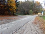
b) Drive to Spodnja Kungota, then follow the road to Zgornja Kungota. At Kozjak nad Pesnico, turn left towards Gaj and Urban. Continue uphill, following the signs for Gaj nad Mariborom and then the road leading to Bresternica. When you reach the crossroads where you see the signs for Tojzlov vrh - Večernikova direction, park in a suitable place at the crossroads.
Path description:
From the starting point, follow the side road with signs for the Večernikovo direction to Tojzlov vrh. At first, cross the macadam road, and when you leave the forest, pass the Večernik homestead on the right. After the homestead, the road becomes passable, and we have a nice view from the road towards the church Sveti Križ in Gaj nad Maribor. The way forward leads us past a chapel, after which we return to the forest, through which we climb steeply. The steepness eases when we reach an asphalt road, which we follow to the left, and we quickly arrive in the village of Gaj nad Maribor. After a gentle climb through the village, we reach the cemetery, where we turn left, and just after the crossroads we reach the Sveti Križ church, where there is a registration box by the roadside.
The description and pictures refer to the situation in November 2021.
Pictures:
 1
1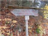 2
2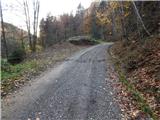 3
3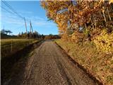 4
4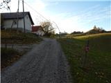 5
5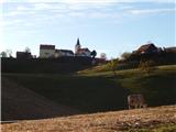 6
6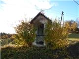 7
7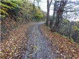 8
8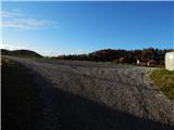 9
9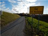 10
10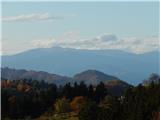 11
11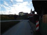 12
12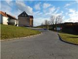 13
13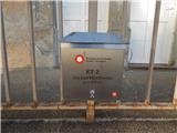 14
14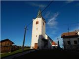 15
15
Discussion about the trail Šober (Log) - Sveti Križ (Gaj nad Mariborom)