Starting point: Soča (500 m)
| Lat/Lon: | 46,3425°N 13,6693°E |
| |
Time of walking: 2 h 30 min
Difficulty: easy marked way
Altitude difference: 900 m
Altitude difference po putu: 900 m
Map: Trenta 1:25.000 in Julijske Alpe - zahodni del 1:50.000
Recommended equipment (summer):
Recommended equipment (winter): ice axe, crampons
Views: 12.766
 | 3 people like this post |
Access to the starting point:
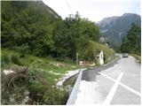
From Trenta or Bovec, drive to the village of Soča, where you will see a church on the side of the road. The start of the walking trail is 200-300m from the church towards Trenta, where you will see signposts and a small parking area for 2-3 cars along the road.
Path description:
From the village Soča, follow the track after the Bavški Grintavec signs. The trail starts to climb quite steeply through the forest and leads us to mountain pasture or the abandoned village of Lemovje in a good half-hour walk.
Here the path first turns slightly to the left across a meadow, then soon turns to the right and starts climbing steeply again, partly through the forest, partly across steep meadows. The path then turns to the left, where the steepness eases slightly. It then crosses the steep southern slopes below Kol (1924 m), which leads to a hunting lodge at mountain pasture above the Soča River.
Pictures:
 1
1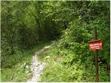 2
2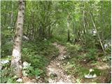 3
3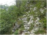 4
4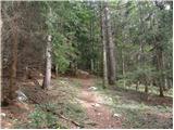 5
5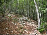 6
6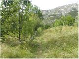 7
7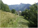 8
8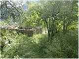 9
9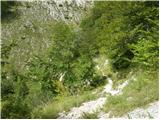 10
10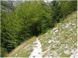 11
11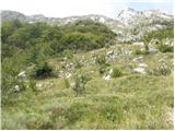 12
12 13
13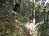 14
14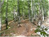 15
15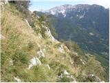 16
16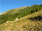 17
17 18
18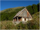 19
19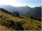 20
20
Discussion about the trail Soča - Planina nad Sočo
|
| Robyt22. 11. 2020 |
Danes opravljena tura . Fantazija, prekrasno vreme. Priporočam za izlete.
|
|
|
|
| anazala14. 06. 2021 20:19:34 |
grem naslednji teden. upam, da bo vse okej.
|
|
|
|
| VesnaM1. 09. 2021 20:43:57 |
Se da kje po poti dotočit vodo?
|
|
|
|
| zwbgr1. 09. 2021 21:38:40 |
malo naprej od Lemovja je ob poti manjši izvir, tako da se da
|
|
|