Sora - Brunarica Osovnik (on footpath)
Starting point: Sora (360 m)
| Lat/Lon: | 46,1414°N 14,3703°E |
| |
Name of path: on footpath
Time of walking: 1 h 35 min
Difficulty: easy marked way
Altitude difference: 417 m
Altitude difference po putu: 450 m
Map: Ljubljana - okolica 1:50.000
Recommended equipment (summer):
Recommended equipment (winter): crampons
Views: 3.001
 | 1 person likes this post |
Access to the starting point:
a) First drive to Medvode, then leave the main road at the Špar shop and continue towards the railway station and Sora. In Sora, the road to Katarina turns first left, and a little further on to Osolnik. Take the road to Osolnik and after a short climb park in the parking lot below St Stephen's Church. You can also park a little further down in the parking lot next to the parish church.
b) From Kranj, drive towards Škofja Loka, and from the outskirts of Škofja Loka follow the signs for Gorenjska vas. Before the Sten tunnel, take the exit from the roundabout towards Sora. Continue through Hosta, Pungert, Gosteče and Draga to Sora, where you turn right towards Osolnik and then, after a short climb, park in the parking lot below St Stephen's Church. You can also park a little further down in the parking lot next to the parish church.
c) From Poljanska dolina, drive towards Škofja Loka and then take the ring road and go through the Sten tunnel. Turn right after the tunnel and follow the signs for Sora. Continue through Hosta, Pungert, Gosteče and Draga to Sora, where you turn right towards Osolnik and then, after a short climb, park in the parking lot under St Stephen's Church. You can also park a little further down in the parking lot next to the parish church.
Path description:
At the beginning of the parking lot, a marked footpath branches off to the left and starts climbing through the forest. After a few minutes, cross the asphalt road leading to Osolnik (you can also walk along the road to get here if you have parked at the top of the parking lot), and we continue along the marked path. We continue our ascent through the forest, following the signs at a few small crossroads. Higher up, the trail reaches a side ridge, where it flattens out and approaches the tarmac road. Continue slightly to the right of the road and the path quickly splits.
Continue slightly left (right Hom 15 minutes) and continue cross-climbing on the mostly southern slopes of Homa. When we reach a faint ridge a little further ahead, the path from the top of Homa joins us from the right, and we continue left and reach an asphalt road a little further ahead. The trail continues along the road, and occasionally along a marked path to the right or left of the road. The path then leads us to a crossroads, where the marked path from Ločnice joins us from the left, and we continue straight on to the nearby crossroads and crossroads, where a footpath branches off at a sign to the right to Osolnik, and we continue straight on, following the road on the left in the direction of the Osovnik log cabin. Shortly after the crossroads, we exit the forest and continue for some time, enjoying beautiful views and no major changes in altitude. After crossing a short strip of forest, we climb a small pass where there are a few houses.
Continue straight down (to the right of the Osolnik peak), then go left at the first crossroads to the nearby Osovnik log cabin, which is only a short 10-step walk away.
Description and pictures refer to the situation in 2018 (February and March).

We can extend the trip to the following destinations: Osolnik
Pictures:
 1
1 2
2 3
3 4
4 5
5 6
6 7
7 8
8 9
9 10
10 11
11 12
12 13
13 14
14 15
15 16
16 17
17 18
18 19
19 20
20 21
21 22
22 23
23 24
24 25
25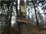 26
26 27
27 28
28 29
29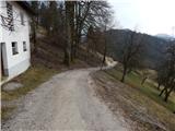 30
30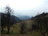 31
31 32
32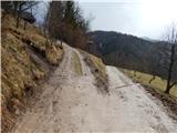 33
33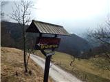 34
34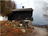 35
35 36
36
Discussion about the trail Sora - Brunarica Osovnik (on footpath)