Soteska Bednje - Vražji Stolček (strma pot)
Starting point: Soteska Bednje (205 m)
| Lat/Lon: | 46,22187°N 16,20687°E |
| |
Name of path: strma pot
Time of walking: 20 min
Difficulty: partly demanding unmarked way
Altitude difference: 75 m
Altitude difference po putu: 75 m
Map:
Recommended equipment (summer):
Recommended equipment (winter): ice axe, crampons
Views: 160
 | 1 person likes this post |
Access to the starting point:
Path description:
Pictures:
 1
1 2
2 3
3 4
4 5
5 6
6 7
7 8
8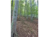 9
9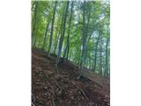 10
10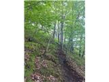 11
11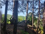 12
12 13
13 14
14 15
15 16
16
Discussion about the trail Soteska Bednje - Vražji Stolček (strma pot)