Source of Ljubija - Smrekovec (by road)
Starting point: Source of Ljubija (658 m)
| Lat/Lon: | 46,4032°N 14,9405°E |
| |
Name of path: by road
Time of walking: 2 h 30 min
Difficulty: easy unmarked way
Altitude difference: 919 m
Altitude difference po putu: 940 m
Map: Kamniške in Savinjske Alpe 1:50.000
Recommended equipment (summer): helmet
Recommended equipment (winter): helmet, ice axe, crampons
Views: 4.390
 | 1 person likes this post |
Access to the starting point:
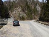
a) From the motorway Ljubljana - Maribor take the exit Šentrupert and then continue in the direction of Mozirje and Logarska dolina. At the beginning of Mozirje, turn right out of the roundabout in the direction of Bele Vode, then follow the signs for Ljubija graben. Higher up, the asphalt ends and after a short, rather steep section, the road is laid and leads past the Rožman homestead to a water reservoir located near the confluence of Ljubija and Kramarica. Park in a suitable place next to the water reservoir.
b) From Ljubno ob Savinji or Gornji Grad, take the Mozirje, and from there, from the roundabout near the Hofer shop, continue in the direction of Bele Vode, then follow the signs for the Ljubija graben. Higher up, the asphalt ends and after a short, rather steep section, the road is laid and leads past the Rožman homestead to a water reservoir located near the confluence of Ljubija and Kramarica. Park in a suitable place next to the water reservoir.
c) Drive to Šoštanj, where from the roundabout by the TPP we continue in the direction of Bele Vode. After the bridge over the river Páka and after the railway line at the crossroads, continue straight on in the direction Bele Vode and follow the direction mentioned above at the following crossroads. Continue past the church to Bele Vode, and then arrive at the pass north of Sv. Križ. After the precipice, the road starts to descend, and then in a cross-descent leads to the valley of the brook Kramarica, where we continue to the left. Continue descending along the KramaricaXX stream, then, when you reach the confluence of the Kramarica and LjubijaXX, park in a suitable space by the water reservoir.
Path description:
From the starting point at the water reservoir, continue left along the Ljubija stream, where there is a green ramp over a minor road. After the ramp, continue along the minor road, which leads through a picturesque gorge. In a few minutes you will reach a relatively strong karst spring, where the Ljubija stream rises. From the spring, continue along the road, which is worse and rather eroded from frequent downpours, and which continues through the Ljubija graben. Higher up, the gorge splits in two, and we continue along the left-hand gorge, along which the worse road continues. The slopes along the way become less steep, and then suddenly you are in a vast meadow. The path continues along the left-hand edge of the meadow, then joins a wider dirt road, which you follow to the left, or straight ahead (right Dom na Smrekovcu - via Leskovškova pustota).
Continue along the road, which continues along the left-hand edge of the meadow, and we see a waterhole a little to the right of the path. After the waterhole, the road turns left and passes into the woods. Just a little higher up, there is a right turn, and then we climb for some time through the woods. When the forest ends, first a beautiful view opens up, and then the road changes transiently into cart track. After cart track there are some longer serpentines, then cart track widens into a road, which climbs transversely to the right. The road lays down higher up and then drops slightly twice. A little further on, the wider cart track (the path via Leskovškova pustota) joins us from the right, and we continue along the road, which we follow only until we reach the marked path Bele Vode - Smrekovec.
Continue left up the marked trail (right Bele Vode, straight on the road saddle Kramarica). Higher up, cross another road, where the path to the left continues towards Golte, and we emerge from the forest a little above the road, where we continue to the right in the direction of Dom na Smrekovcu. From the point where you leave the forest, a few minutes of a slightly more scenic route and you will reach Dom na Smrekovcu.
From Dom na Smrekovcu we continue towards the top of Smrekovec, where the path first leads us through a short lookout from which we open a view towards the central Kamnik Savinja Alps, then passes into a sparse forest, where after a short climb we reach a marked crossroads, where we continue to the right (straight Komen, Travnik. . . ). From the crossroads onwards, the forest thins out further, and then the completely uncultivated part leads us slightly to the right, where, with views that reach far and wide, we reach the pyramid at the top of Smrekovec without much difficulty. Description and figures refer to the situation in 2016 (March).

We can extend the trip to the following destinations: Krnes,
Komen
Pictures:
 1
1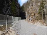 2
2 3
3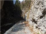 4
4 5
5 6
6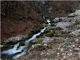 7
7 8
8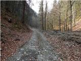 9
9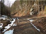 10
10 11
11 12
12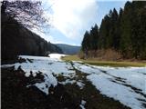 13
13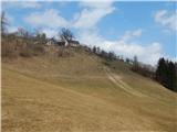 14
14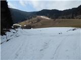 15
15 16
16 17
17 18
18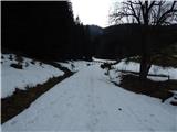 19
19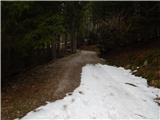 20
20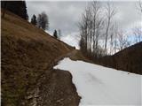 21
21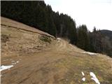 22
22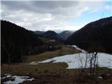 23
23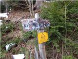 24
24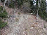 25
25 26
26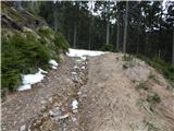 27
27 28
28 29
29 30
30 31
31 32
32 33
33 34
34 35
35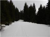 36
36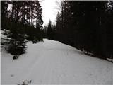 37
37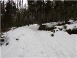 38
38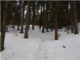 39
39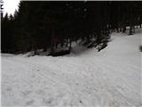 40
40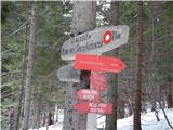 41
41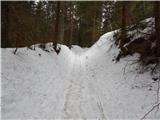 42
42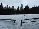 43
43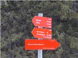 44
44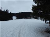 45
45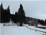 46
46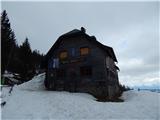 47
47 48
48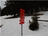 49
49 50
50 51
51 52
52 53
53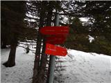 54
54 55
55 56
56 57
57 58
58 59
59
Discussion about the trail Source of Ljubija - Smrekovec (by road)
|
| lepenatka11. 02. 2025 10:34:04 |
Mogoče kdo ve, če je pot od izvira Ljubije po gozdni "cesti" v soteski prehodna?
Regina
|
|
|
|
| geppo11. 02. 2025 19:41:52 |
V soboto sem šel do izvira ( objava pod Smrekovec ) in sem videl, da se cesta od izvira naprej nadaljuje. Če je do konca soteske ne vem?
Ko sem se po tisti katastrofi vračal po soteski, mi je bil najtežji zadnji del. Torej od izvira pa do črpališča. Torej bi se sedaj dalo prehoditi sotesko lažje. Poglej in javi kakšno je stanje
lp
|
|
|
|
| lepenatka12. 02. 2025 07:43:59 |
Hvala. V nedeljo sem se izognila soteski  in šla na Konečko planino od Brložnika po cesti mimo Leskovška, s Konečke na Kal in potem na Smrekovec. Na Konečki toplo in tudi nekaj sonca, na Smrekovcu pa sibirski veter.
|
|
|
|
| geppo12. 02. 2025 07:59:01 |
Lepo turo si naredila! Pred leti sem podrobno raziskal različne variante pristopa ( bele oznake in lovska varianta ), sestop po Žrebetovi drči v sotesko. Lepi in zanimivi konci. Tudi v soboto je bil sibirski veter na Smrekovcu.
Javi, če je Ljubijski graben v celoti prehoden brez težav.
lp
|
|
|
|
| lepenatka12. 02. 2025 08:30:50 |
Ko me zanese v te konce, javim  Srečno.
|
|
|