Starting point: Spodnja Kokra (530 m)
| Lat/Lon: | 46,3027°N 14,4754°E |
| |
Time of walking: 3 h 45 min
Difficulty: easy marked way
Altitude difference: 1290 m
Altitude difference po putu: 1290 m
Map: Karavanke - osrednji del 1:50.000
Recommended equipment (summer):
Recommended equipment (winter): ice axe, crampons
Views: 12.089
 | 2 people like this post |
Access to the starting point:
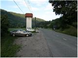
From the motorway Ljubljana - Jesenice take the exit Kranj - East and follow the road towards Jezersko. Just a few kilometres after the Preddvor off-ramp, you will see a transformer on the right-hand side of the road and a parking lot next to it. There are also signs for the Čemšenik Home.
Path description:
From the parking lot, first cross the road carefully and then follow the footpath towards the Čemšenik home. The wide path ascends only significantly to the Polajnar homestead, where you step out onto the road and follow it to the right.
The road climbs steeply just after the house, but it loses its asphalt coating a little higher up. The road then flattens out and turns slightly to the left, where it approaches the Čemšeniškės brok. Cross the stream a little further on and just after it you will come to a marked crossroads, where you continue along the left-hand road in the direction of the Čemšenik home. The road then starts to climb steeply again and after about 30 minutes of further walking leads us to the Čemšenik home.
From the Čemšenik home, continue in the direction of Javorov vrh (on the Javorjev vrh sign) along the path, which goes into the forest after only a few metres. Initially moderately steep, the path soon leads to a torrential gully, along which it then climbs for some time. Higher up, the path turns to the right and climbs even steeper. Follow this relatively steep path, which passes through dense forest, all the way to the crossroads at the saddle between Potoška gora on the left and Javorov vrh on the right.
Continue to the right (Potoška gora and Sveti Jakob on the left) along a moderately steep path which, after a short climb, leads to the south-west ridge of Javorov vrh, which offers some views towards Cjanovci. The path goes just a little further into the dense forest again, where we arrive at the next well-marked crossroads.
Here we continue left in the direction of Srednji vrh, Kališča and Storžič (straight Javorov vrh for 15 minutes) along the path which, after a few further steps, leads us to a pleasant little well. This is followed by a half-hour crossing of the slopes below Javorov vrh, ending at the saddle between the above-mentioned peak and Cjanovca.
Continue straight on in the direction of Cjanovca and Srednji vrh (Hudičev boršt on the left, Javorov vrh on the sharp right) on a path that begins to climb steeply along and along the eastern ridge of Cjanovca. Higher up, the path leads us out of the forest onto slopes covered with dwarf pines, and we continue along the increasingly steep and, in places, very scenic path. The path, from which we have beautiful views of Kočno, Grintovec, Kalški greben and Gorenjska, slowly turns slightly to the left. Follow this increasingly scenic and relatively steep path all the way to the top of Cjanovca, where there is a bench and a small cairn. Spodnja Kokra - Čemšenik Dom 50 minutes, Čemšenik Dom - Cjanovca 2:55.

We can extend the trip to the following destinations: Srednji vrh
Pictures:
 1
1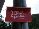 2
2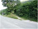 3
3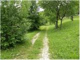 4
4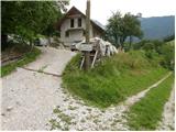 5
5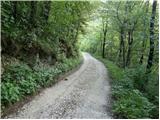 6
6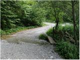 7
7 8
8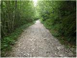 9
9 10
10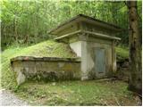 11
11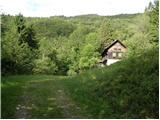 12
12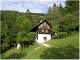 13
13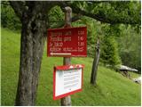 14
14 15
15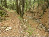 16
16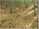 17
17 18
18 19
19 20
20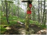 21
21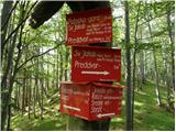 22
22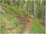 23
23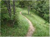 24
24 25
25 26
26 27
27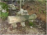 28
28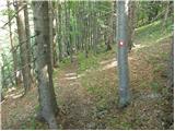 29
29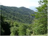 30
30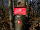 31
31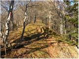 32
32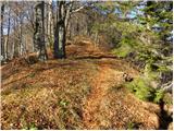 33
33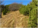 34
34 35
35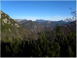 36
36 37
37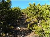 38
38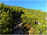 39
39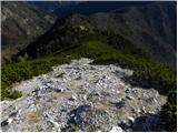 40
40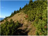 41
41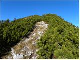 42
42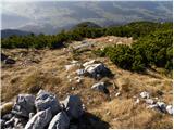 43
43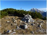 44
44 45
45
Discussion about the trail Spodnja Kokra - Cjanovca
|
| Branee9. 07. 2011 |
Zdravo Vceraj sem opravil omenjeno pot je lepa samo nevem kako ste mislili z opisom kot lahka. Definitivno ne za nekoga ki ni vajen hoditi 4 ure v hrib, sploh tisti del skozi hudournisko grapo je kar ubijalski. No vglavnem jest sem uzival, medtem ko so punco noge povozile, pa trenira kosarko profesionalo 
|
|
|
|
| limona24. 08. 2011 |
V čakanju na rojstvo drugega vnučka sva se odpravila iz Sp.Kokre proti Cjanovci. Vmes sva naredila ovinek na Javorov vrh (imam vprašanje: zakaj ima skromnež dva žiga, Cjanovca pa nobenega?) ter s Cjanovce na Srednji vrh. Štiri ure po prekrasnem gozdu in večinoma mehki poti. Pot je označena pravilno kot lahka, saj ni nikjer izpostavljenih in tehnično zahtevnih mest. Se je pa treba zavedati 1350 višincev (na Srednji vrh) oz. še morda 100 več, če greš čez Javorov vrh. Pot je markirana vzorno, na nekaterih mestih pa ruševje skoraj popolnoma prerašča pot in bi ga bilo res nujno obrezati.
|
|
|
|
| Branee5. 08. 2011 |
Ja lepo je zgoraj (ko prides ven iz tiste hudourniske grape, zgleda kot da ni z nasega planeta  ) edino razgledi niso nevem kaj, ce uberes tole pot na cjanovco(zaplato) 
|
|
|
|
| domenc15. 03. 2014 |
Zdravo,
jutri nameravam iti na Cjanovco iz Jakoba, pa me zanima kakšna je kaj pot. So zadosti samo dereze in gamaše ali bi moral imeti tudi cepin (začetnik pri takšnih poteh v snegu - ali priporočate kakšne druge poti, da malo sprobam dereze, gamaše, itd.)?
hvala, lp domenc
|
|
|