Spodnja Trenta - Planina Berebica
Starting point: Spodnja Trenta (574 m)
| Lat/Lon: | 46,37004°N 13,72742°E |
| |
Time of walking: 2 h
Difficulty: easy unmarked way
Altitude difference: 674 m
Altitude difference po putu: 685 m
Map: TNP 1:50.000
Recommended equipment (summer):
Recommended equipment (winter):
Views: 1.800
 | 3 people like this post |
Access to the starting point:
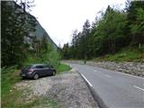
From Kranjska Gora, drive over the Vršič pass towards Bovec. In Lower Trenta, just after the road marker 6. 5 km, you will see a suitable parking space on the left side of the road.
From Bovec, drive towards Kranjska Gora. In Spodnja Trenta, a few 100 metres after Galeria Berebica, you will see cart track on the left side of the road and a signpost for Berebica. From here, follow the road for another 10 metres and you will see a suitable parking place on the right hand side.
Path description:
From the parking lot, continue along the main road towards Bovec for some 10 metres. On the right side of the road you will then see cart track or mulatier and a signpost for Berebica. There is also a TNP sign at the beginning of the mulatjera.
Take the above-mentioned route and start climbing in serpentines. The bends are also marked with numbers. In the first part, the path runs along a rather steep slope, so that despite the forest, we still occasionally get a nice view of the Soča and the surrounding mountains. A little higher up, we cross a fence and the mulatiera leads us past some well-kept gardens. We then continue to climb for some time in serpentines, and at the 19th bend we come to a small crossroads at which there is a small well with drinking water. Here, a hunting trail also branches off to the right, which also leads to Staro Utra.
We continue along the military mulatier and the slope becomes slightly less steep. This path, which continues through the forest, then leads us to a crossroads. To the right, the mulatier leads on to Staro Utra, and we turn left onto the lower path, which quickly reaches mountain pasture Berebica in a slight downhill.

Pictures:
 1
1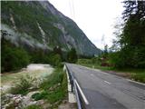 2
2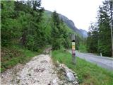 3
3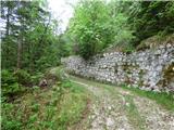 4
4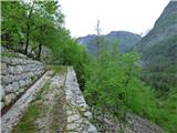 5
5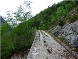 6
6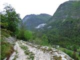 7
7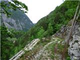 8
8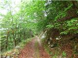 9
9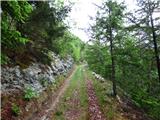 10
10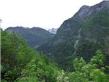 11
11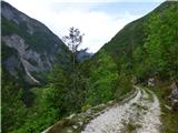 12
12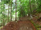 13
13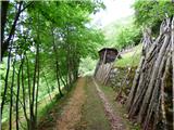 14
14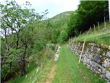 15
15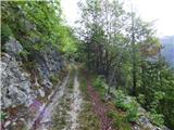 16
16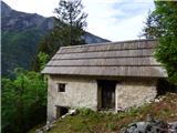 17
17 18
18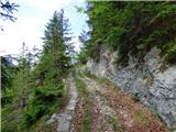 19
19 20
20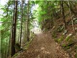 21
21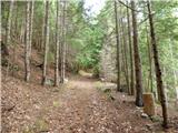 22
22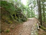 23
23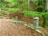 24
24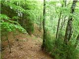 25
25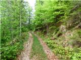 26
26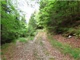 27
27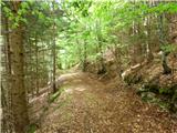 28
28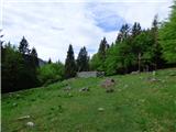 29
29 30
30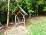 31
31 32
32
Discussion about the trail Spodnja Trenta - Planina Berebica