Spodnje Gorje - Planina Obranica
Starting point: Spodnje Gorje (620 m)
Time of walking: 1 h 5 min
Difficulty: easy unmarked way
Altitude difference: 415 m
Altitude difference po putu: 415 m
Map: TNP 1:50.000
Recommended equipment (summer):
Recommended equipment (winter): ice axe, crampons
Views: 6.684
 | 3 people like this post |
Access to the starting point:
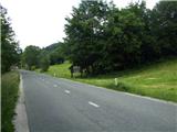
From the Ljubljana - Jesenice motorway, take the Lipce exit and turn left towards "Blejska Dobrava and Spodnje Gorje". Soon after entering the railway underpass, we are at the next crossroads, where we turn right - Bled, Kočna. The road, serpentine at first, climbs straight westwards and soon reaches the summit or settlement of Kočna in a left turn. After passing it, drive for another 3 km, and then you will see a wooden sign on the side of the road in front of the local sign Spodnje Gorje with the inscription Gorje - welcome. . . Park here, nearby.
Path description:
Just before the wooden signpost, turn right onto a grassy path that leads uphill across a meadow. A little higher up, you can see a low hunting observation post. Next to it, cart track leads to a path which, heading NW (to the right), soon leads into the wods.
The track, which is becoming rough and muddy, climbs at first towards the NE, and later for a while also towards the SW. When the steepness eases, you come to a crossroads where you choose the right (or straight) direction. Here you initially follow the slightly overgrown cart track, which climbs steeper and steeper and becomes more cobbly. When the slope subsides, the path turns first slightly left and then sharply right to the north, where it becomes completely flat. At the next crossroads, continue right uphill, but later, due to fallen trees, leave cart track for a while and walk along it on the right. When you return to it, leave the forest on a spruce-covered slope, where you pass a clearing and re-enter the forest after a while. There is a few more ascents and curves, and then we come across a wod with an inscription. Enter mountain pasture, and after some 10 m come across a rocky ruin, where you first head right uphill to a lookout point, and from here to a shepherd's hut located on the western edge of mountain pasture.

Pictures:
 1
1 2
2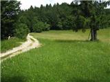 3
3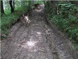 4
4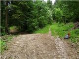 5
5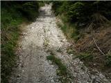 6
6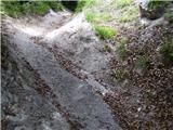 7
7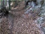 8
8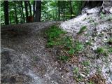 9
9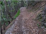 10
10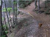 11
11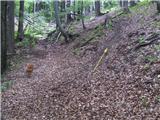 12
12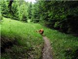 13
13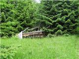 14
14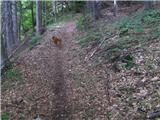 15
15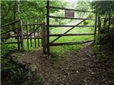 16
16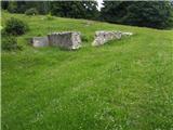 17
17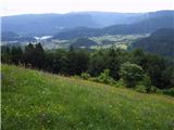 18
18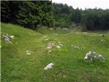 19
19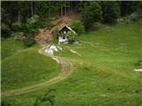 20
20
Discussion about the trail Spodnje Gorje - Planina Obranica
|
| gorazdr31. 10. 2011 |
Danes sem šel po tej poti. Padlih dreves ni več je pa sama pot precej razširjena in na novo razrita, ker so očitno spravljali les. Pred samim vrhom se kolovoz neha in tudi označb ni videti. Zaviti je treba levo po grapi navzgor, čez kakšnih 300m pa so ponovno videti ostanki markacij.
Nazaj sem nameraval mimo Babe pa nisem našel poti, tako da sem šel do kolovoza nazaj po isti poti. Pred začetkom kolovoza se mi je zdelo, da grapa, ki se spušča na levi strani zgleda prav fina za spust. ...
|
|
|
|
| gorazdr31. 10. 2011 |
Spust po tisti grapi se je izkazal za malo bolj zahtevnega kot bi si želel ker je v to grapo podrtih vsaj 30 dreves, ki jih je izruvalo skupaj s koreninami, tako da je bilo potrebno malo plezanja preko ovir. Malo pred dnom je en odsek še posebej strm in drseč vendar je bil z enim prevalom uspešno premagan. 
|
|
|
|
| heinz31. 10. 2011 |
Seveda, proti vrhu se kolovoz spremeni v stezo (13. slika), celotna pot pa je v bistvu neoznačena (lahka steza).. Lp!
|
|
|
|
| heinz13. 07. 2013 |
Po novem je celotna pot od dna do planine spremenjena v gruščnat kolovoz. Za bližnjico si izberemo edino del na slikah 13-15 (Na Pesku). Podrtije na sl.14 ni več.
|
|
|
|
| Jusk16. 10. 2019 |
Danes po tej poti na popoldanski pohod. Ker je še zjutraj deževalo je večina poti kar blatna. Od Obrance nadaljujem mimo snežne jame na Škrbino(res je lepo urejeno novo razgledišče) in naprej na Zakop,od tam pa po cesti nazaj v Gorje. Lepa krožna pot 
|
|
|
|
| Jusk13. 01. 2020 |
Danes spet po tej poti na Obranco,pot je suha in bp  sem si šel prvič ogledat še Snežno jamo,pa sem že velikokrat šel mimo. Vredna obiska,lepo je notri 
|
|
|
|
| heinz13. 03. 2020 |
Od takrat ko sem šel zadnjič po tej poti, se je ta precej spremenila. Zaradi sečnje in spravila lesa, so celotno pot razširili v vlako, ki pelje od izhodišča, vse do planine. Na planini pa vse po starem, torej še vedno lepo. Lp! H
|
|
|