Spodnje Radvanje - Mariborska koča
Starting point: Spodnje Radvanje (279 m)
| Lat/Lon: | 46,5332°N 15,6285°E |
| |
Time of walking: 2 h 40 min
Difficulty: easy marked way
Altitude difference: 807 m
Altitude difference po putu: 830 m
Map: Pohorje 1:50 000
Recommended equipment (summer):
Recommended equipment (winter): ice axe, crampons
Views: 20.807
 | 2 people like this post |
Access to the starting point:
From Ljubljana, take the southbound on-ramp to Maribor and at the fork, follow the route Maribor-south. Then follow the signs for Pohorje. At the large shopping centre near the customs office, turn left towards Betnavski grad onto the so-called "Papeževo" road, and at the next junction turn right. Drive straight ahead until you reach Streliska cesta. You can park your car at the Tuš shopping centre or at one of the taverns along the road "Poštela", "Pri kostanjih", but you need to ask for a permit.
Path description:
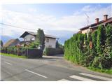
The trail starts on Streliška cesta at house number 70, which is indicated by a mountain signpost. The trail turns into Pot na okope street, where after a few steps we are warned by a large sign that the Slovenian mountain trail starts here. The path leads through the village into the forest.
Through the chestnut forest to the shelf of the eastern ridge to the historically very famous hamlet of Habakuk (above it there is a Postel and an Illyrian burial site from the 6th century BC). The well-trodden path avoids deep dirt tracks in the keys and passes into a mixed forest.
Higher up, the path veers to the right and after a few minutes you emerge from the forest onto the ski slopes. Walk up the dirt road towards the top chairlift station. Cross the road and go up along the right-hand side of the small wood towards the electricity transformer. Soon you reach the next ski slope, where a sign on the power pole points you straight ahead, up the ski slope again (there is a chapel on the right side of the path). Pass the restaurant, where you can already see the top station of the funicular, and go straight up.
At the top funicular station (1042 m), go west. On the right you can see the Church of St. Bolfenk. Follow the asphalt road to the footpath turnoff to the right as the signpost directs you. Higher up, turn right again. After a few minutes we are at the next crossroads, where we keep to the left path (the right one goes in the direction of the lookout tower and Areh).
The path descends a little, and along the way you will see information boards about the natural attractions. At the crossroads, keep straight ahead and the path leads to the edge of the forest, where there are some views to the south. The path then turns right and leads to an asphalt road, which you walk along for about 5 minutes, or until you reach a point where the signs point you back into the forest. The path then climbs, passes the holiday apartments and turns onto a dirt road.
When you reach the asphalt road a little further on, turn left and after a few steps turn right at the next crossroads. Mariborska koča is still a 5-minute easy walk away.

Pictures:
 1
1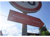 2
2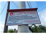 3
3 4
4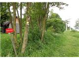 5
5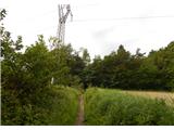 6
6 7
7 8
8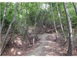 9
9 10
10 11
11 12
12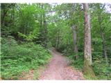 13
13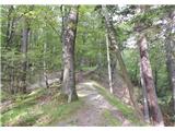 14
14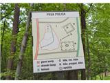 15
15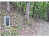 16
16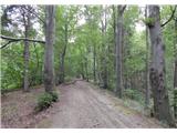 17
17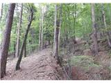 18
18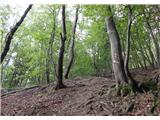 19
19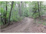 20
20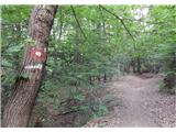 21
21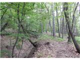 22
22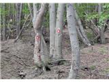 23
23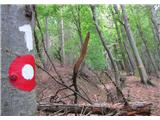 24
24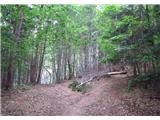 25
25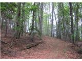 26
26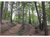 27
27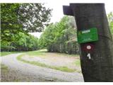 28
28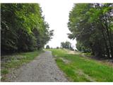 29
29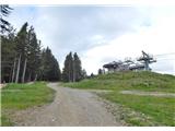 30
30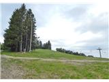 31
31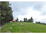 32
32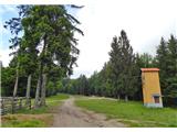 33
33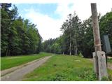 34
34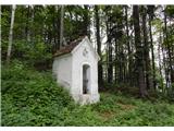 35
35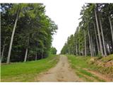 36
36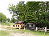 37
37 38
38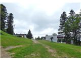 39
39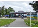 40
40 41
41 42
42 43
43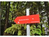 44
44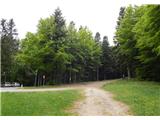 45
45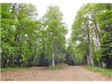 46
46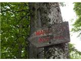 47
47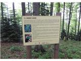 48
48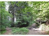 49
49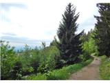 50
50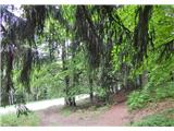 51
51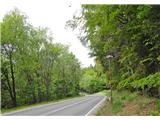 52
52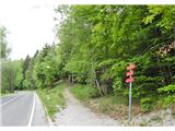 53
53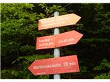 54
54 55
55 56
56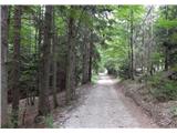 57
57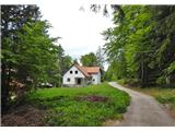 58
58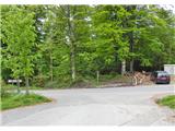 59
59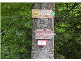 60
60 61
61 62
62
Discussion about the trail Spodnje Radvanje - Mariborska koča
|
| headstar12. 09. 2015 |
Opisana pot v celoti ne poteka po Slovenski planinski poti. Med slikami št. 9 in 15 je namreč opisana bližnjica, ki jo nekateri uporabljajo.
|
|
|
|
| Enka14. 10. 2017 |
Ali je na začetku SPP (slika 3) žig?
|
|
|
|
| Ninđa14. 10. 2017 |
@enka Je  Lp, Nino
|
|
|
|
| Enka14. 10. 2017 |
Hvala Nino! 
|
|
|
|
| piotr14. 10. 2017 |
Tole ne bo držalo, saj že od nastanka SPP velja, da dobimo prvi žig v Mariborski koči. 
|
|
|
|
| garmont14. 10. 2017 |
V zadnji izdaji knjižice SPP je prva točka SPP spremenjena.  Kaj češ, novi časi...
|
|
|
|
| Enka15. 10. 2017 |
Ja, v moji knjižici je prva točka Spodnje Radvanje 
|
|
|
|
| wildjj16. 10. 2017 |
Tudi zadnja točka SPP ni več Ankaran, ampak Debeli Rtič. Odvisno od letnika izdaje dnevnika. Veljajo vse verzije  . Za Spodnje Radvanje je to čisto v redu. Pohod čez Pohorje se mora začeti spodaj v Mariboru. Tiste slabe tri urce pa cca 800 višincev pa tudi ni nekaj hudega. Pa še zelo lepa pot je.
|
|
|
|
| ČRIČEK9. 08. 2018 |
V novem Dnevniku s slovenske planinske poti je pod zap. št. 1 tudi žig Spodnje Radvanje. Kje se ta ŽIG nahaja.
Lep planinski pozdrav.
|
|
|
|
| ČRIČEK9. 08. 2018 |
TO pot sem prehodil v preteklih 50 letih vsaj sto krat, res pa ne nakaj let nazaj. Zdaj bom ponovno delal transverzalo in nisem hotel, da mi umanjka začetni žig. Hvala vsem za info.
|
|
|
|
| Enka10. 08. 2018 |
V bistvu je bolj prav slika 3  . Na tistem (ali sosednjem?) stebru, kjer je ta tabla, je skrinjica z žigom.
|
|
|
|
| glorija20. 03. 2019 |
Še moja inf.kje je žig začetek poti SPP....Iz Ljubljane smer J nadaljujemo smer Pohorje.Kasneje,ko se pripeljemo po Streliški v krožišču gremo na 2.izvoz(t.j.naravnost)Napisano je ,da se pot začne na Streliški 70(t.j.res začetek poti slika 2),a žig pa je na (slika št.3)-Pot na okope ....ali tudi druga razlaga;ko se peljemo po Streliški do krožišča gremo na 2.izvoz in po cc.20m zavijemo levo na Pot na okope slike št.3-Sp Razvanje.To sem napisala ,ker so tudi nekateri znanci iskali žig in ga baje težko našli..
|
|
|
|
| karibu22. 03. 2019 |
Žig se nahaja v ulici Pot na okope na električnem drogu poleg table za začetek SPP. Nimaš kaj iskat 
|
|
|