Spodnje Sleme - Govca (Olševa)
Starting point: Spodnje Sleme (1254 m)
| Lat/Lon: | 46,4385°N 14,7392°E |
| |
Time of walking: 3 h
Difficulty: easy marked way
Altitude difference: 675 m
Altitude difference po putu: 705 m
Map: Kamniške in Savinjske Alpe 1:50.000
Recommended equipment (summer):
Recommended equipment (winter): ice axe, crampons
Views: 49.299
 | 2 people like this post |
Access to the starting point:
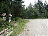
a) Drive to Luce (to get here from Mozirje or from Kamnik via the Volovljek (Kranjski Rak) pass), then continue driving towards the Logar valley. In the village Solčava, leave the main road towards the Logar valley and turn right towards Podolševa, the Spodnje Sleme pass and Črna na Koroškem. The road then loses its asphalt surface, and after a few kilometres we turn right at the junction in Podolševa towards Črna na Koroškem. The road, which continues to climb mainly in a transverse direction, leads us after a while to the Spodnje Sleme pass. Park in a suitable place at the pass.
b) Drive to Črna na Koroškem (to get here from Raven na Koroškem or from Šoštanj via the Spodnje Sleme pass), then continue driving towards Luče. Initially still an asphalt road, higher up it becomes a macadam road and leads to a crossroads of several roads at the Spodnje Sleme Pass. Park at a suitable place at the pass.
Path description:
From the starting point at the Spodnje Sleme pass, follow the narrow road behind the Olševa markers. At first, we walk along the road, and then the markings lead us into the forest, where we continue along the forest path for a very short time. The path then returns to the road and we walk along it for about half an hour, or until the crossroads at Zgornji Slemen.
We continue along the marked path in the direction of Olševa, which quickly leads us to a pasture, along which we then climb. Initially, we climb along the pasture fence, but then the path turns slightly to the right and starts to climb steeply through the forest. The ascent continues steeply for some time, and then, when you emerge from the forest just below Lepi vrh (1616 m), it flattens out and becomes a folded and scenic ridge.
From Lepi vrh onwards, we walk along the scenic ridge, and the path is folded so that we can observe the peaks above the Logarska dolina and Robanov Kot in peace. Further on, the trail leads us over the inexpressive peak Odenični hriber (1863 m) and the slightly more distinct Gladki vrh (1850 m), where the trail from Podolševa joins us from the left.
A short descent follows and we arrive at a small saddle where the path to Mountain hut on farm Kumer branches off to the right, and we continue straight on in the direction of Govce.
The path continues along the left, mostly southern side of the ridge, where it crosses some steeper and in two places also exposed slopes (especially in wet and snowy conditions, there is a risk of slipping). Further on, the slope becomes slightly flatter and the path climbs a little more. With beautiful views towards the mountains above the Logarska dolina valley, you quickly reach a kind of side ridge, which takes you up to the main ridge of Olševa in a few minutes. Here the path turns to the left and after some 10 steps of further walking leads us to Govca.

Pictures:
 1
1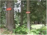 2
2 3
3 4
4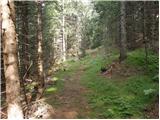 5
5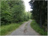 6
6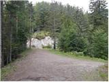 7
7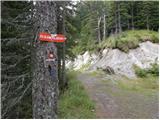 8
8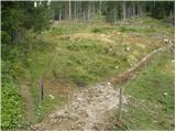 9
9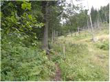 10
10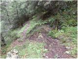 11
11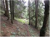 12
12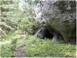 13
13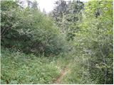 14
14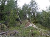 15
15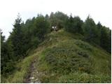 16
16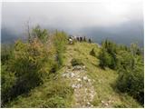 17
17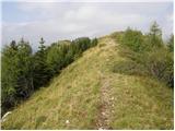 18
18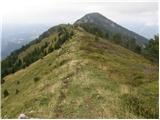 19
19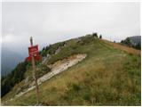 20
20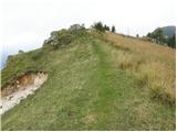 21
21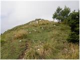 22
22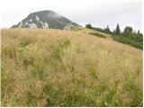 23
23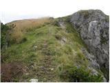 24
24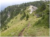 25
25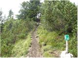 26
26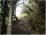 27
27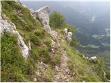 28
28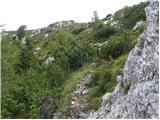 29
29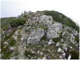 30
30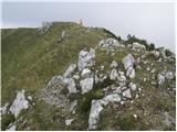 31
31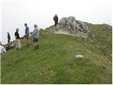 32
32
Discussion about the trail Spodnje Sleme - Govca (Olševa)
|
| MBrando17. 11. 2011 |
Včerej bila s prijateljem na Govci. PRELEPO, da bi kvaril vtise z opisom. Saj veste, moje gorske dušice, kaj mislim in kaj vam lahko takšni sprehodi nudijo...ahh <3
Nic snega, nic pomrznjeno, tako da le hitro, le hitro uživat "tja gor"!
|
|
|
|
| Alni1. 07. 2012 |
Danes po tej poti na Olševi-Govci  Pri dostopu iz Luč, bo morda komu prišel prav podatek, da je zadnji del poti makedam - cca. 7 km. Cesta je sicer lepo urejena, večinoma ni pretirano ozka. Pot pa zelo lepa, razgledi čudoviti. Le zelo vroč dan je bil danes.  LP!
|
|
|
|
| brina18. 09. 2012 |
Lep sončen dan nas je obogatil s čudovitimi razgledi. Tu in tam še kakšna krpica snega.
|
|
|
|
| Janezs15. 05. 2014 |
Pot je že bila popolnoma kopna, tudi večjih ovir ni bilo na poti, je pa sedaj nekaj novega snega. LP.
|
|
|
|
| denist10. 12. 2016 |
Žiga na vrhu ni bilo 
|
|
|
|
| Misantrof10. 12. 2016 |
Ste ga morebiti iskali v skrinjici?
|
|
|
|
| Misantrof10. 12. 2016 |
Žig je namreč zabetoniran v skalo, edino če kdo s fleksom hodi v gore.
|
|
|
|
| denist11. 12. 2016 |
iskal sem v skrinjici, in gledal po tisti skali zadaj, nic nisem nasel.. verjetno sem spregledal..  nic hudega 
|
|
|
|
| garmont12. 12. 2016 |
Žig je še vedno na železni palici dolgi cca 20cm in je pritrjen na sredino skale.Res mi ni jasno, kako ga nisi videl?  
|
|
|
|
| denist12. 12. 2016 |
nisem vedel da je to zig  haha
|
|
|
|
| mornar22. 05. 2018 |
Kakšne so razmere za na Olševo iz Spodnjega Slemena L. P.
|
|
|
|
| Janezs22. 05. 2018 |
Po dvakratnem čiščenju je ta pot normalno prehodna. Lp.
|
|
|
|
| BaroA9. 07. 2019 |
Živjo, ali kdo ve če je s potjo s Slemena vse v redu po zadnjih neurjih?
|
|
|
|
| branco3. 08. 2019 |
Pot je normalno prehodna tudi iz Slemena
|
|
|
|
| Carpfreak17. 09. 2019 |
Lp. Ali kdo ve ce je pot iz spodnjega slemena normalno prehodna?? Hvala
|
|
|
|
| mornar8. 07. 2020 |
Ali je pot po zadnjem slabem vremenu normalno prehhodna L. P.
|
|
|
|
| Janezs9. 07. 2020 |
Avto pustiš na spodnjem slemenu in jo brez skrbi mahneš na Govco. Steza je lepo očiščena in označena. Prav tako tudi z severne strani- z Govševe planine Lp. J.
|
|
|
|
| mornar12. 05. 2025 06:14:13 |
Prosim za informacijo o prehodnosti poti iz Slemena na Govco in sestop mimo zijalke do Rogarja.Hvala za informacijo in lep pozdrav.
|
|
|
|
| plaNinaPirsMajcen13. 11. 2025 14:58:22 |
Živjo, pot je v redu označena, parkirati se da tudi na Zgornjem slemenu (če imate manj časa). Prostora je za nekaj avtov. Razen ene višje grabe na cesti, je makadam soliden. Ob poti je vredno obiskati tudi manjšo jamo oziroma votlino, ki se nahaja pod grebenom Olševe, tik preden se priključi pot z Zadnjega travnika. Nekaj najinih utrinkov v video obliki: https://youtu.be/t5KWqKT78TY?si=CaliJ7_O--hjhil- Lp, Nina
|
|
|